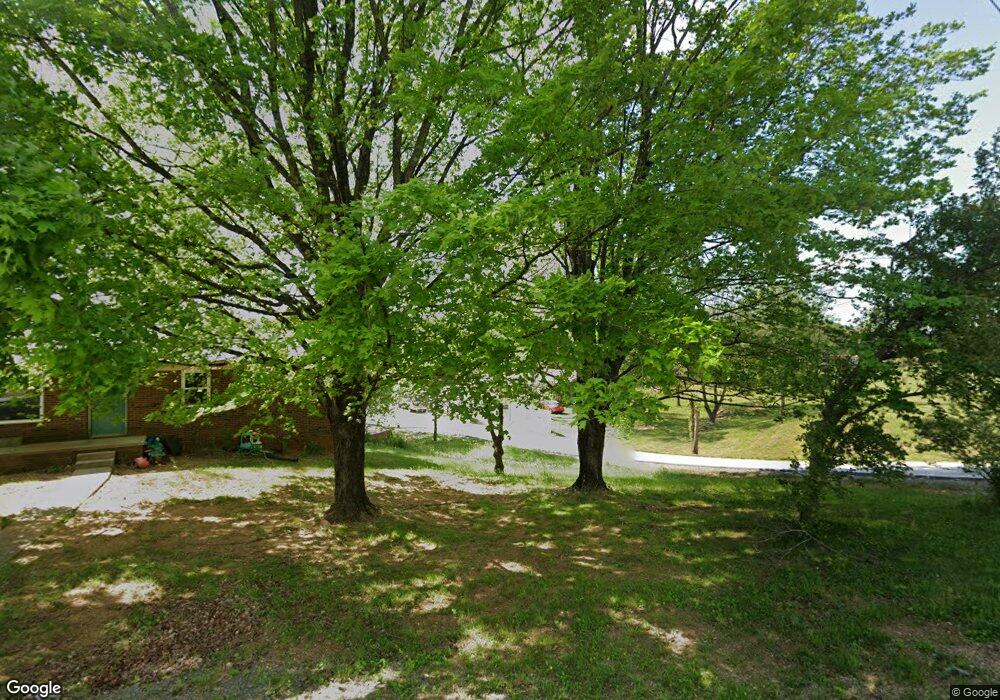
3111 Norman St Morristown, TN 37814
Estimated Value: $105,000 - $232,000
--
Bed
--
Bath
960
Sq Ft
$180/Sq Ft
Est. Value
About This Home
This home is located at 3111 Norman St, Morristown, TN 37814 and is currently estimated at $172,927, approximately $180 per square foot. 3111 Norman St is a home with nearby schools including Manley Elementary School, West View Middle School, and Morristown West High School.
Ownership History
Date
Name
Owned For
Owner Type
Purchase Details
Closed on
Sep 18, 2020
Sold by
Mccoy Jennie Ruth
Bought by
Corona Hernandez Rosalba
Current Estimated Value
Purchase Details
Closed on
May 9, 2018
Sold by
Mccoy Jennifer Ruth and Mccoy Vaughn A
Bought by
Mccoy Jennie Ruth
Purchase Details
Closed on
Jun 21, 1983
Bought by
Mccoy Vaughn
Purchase Details
Closed on
May 13, 1983
Bought by
First National Bank Of Jeff City
Purchase Details
Closed on
Apr 4, 1983
Bought by
Turner Lester and Turner Emma
Create a Home Valuation Report for This Property
The Home Valuation Report is an in-depth analysis detailing your home's value as well as a comparison with similar homes in the area
Home Values in the Area
Average Home Value in this Area
Purchase History
| Date | Buyer | Sale Price | Title Company |
|---|---|---|---|
| Corona Hernandez Rosalba | $45,000 | Radiant Title Llc | |
| Mccoy Jennie Ruth | -- | None Available | |
| Mccoy Vaughn | $12,900 | -- | |
| First National Bank Of Jeff City | -- | -- | |
| Turner Lester | $13,000 | -- |
Source: Public Records
Tax History Compared to Growth
Tax History
| Year | Tax Paid | Tax Assessment Tax Assessment Total Assessment is a certain percentage of the fair market value that is determined by local assessors to be the total taxable value of land and additions on the property. | Land | Improvement |
|---|---|---|---|---|
| 2024 | $237 | $13,475 | $2,875 | $10,600 |
| 2023 | $237 | $13,475 | $0 | $0 |
| 2022 | $426 | $13,475 | $2,875 | $10,600 |
| 2021 | $426 | $13,475 | $2,875 | $10,600 |
| 2020 | $425 | $13,475 | $2,875 | $10,600 |
| 2019 | $399 | $11,725 | $2,575 | $9,150 |
| 2018 | $370 | $11,725 | $2,575 | $9,150 |
| 2017 | $364 | $11,725 | $2,575 | $9,150 |
| 2016 | $347 | $11,725 | $2,575 | $9,150 |
| 2015 | $323 | $11,725 | $2,575 | $9,150 |
| 2014 | -- | $11,725 | $2,575 | $9,150 |
| 2013 | -- | $11,900 | $0 | $0 |
Source: Public Records
Map
Nearby Homes
- 700 Drinnon Dr
- 3475 Walden Dr
- 3471 Walden Dr
- 801 Colonial Dr
- 725 Barton Dr
- 2978 Wilshire Blvd
- 729 Amanda Harrison Ct
- 3113 Wilshire Blvd
- 2454 Sandstone Dr
- 2444 Sandstone Dr
- 2430 Sandstone Dr
- 2310 Sandstone Dr
- 1086 St Ives Ct
- 1101 Drinnon Dr
- 3721 Meadowland Dr
- 2045 N Economy Rd Unit A3
- 1049 Greenway Dr
- Darwin Plan at Southwood
- Robie Plan at Southwood
- Elston Plan at Southwood