3111 Ramshorn Dr Castle Rock, CO 80108
Estimated Value: $1,155,401 - $1,370,000
4
Beds
5
Baths
3,972
Sq Ft
$322/Sq Ft
Est. Value
About This Home
This home is located at 3111 Ramshorn Dr, Castle Rock, CO 80108 and is currently estimated at $1,280,100, approximately $322 per square foot. 3111 Ramshorn Dr is a home located in Douglas County with nearby schools including Buffalo Ridge Elementary School, Rocky Heights Middle School, and Rock Canyon High School.
Ownership History
Date
Name
Owned For
Owner Type
Purchase Details
Closed on
May 6, 2004
Sold by
Bonner Richard L and Jnean Bonner J
Bought by
Oconnor John J
Current Estimated Value
Home Financials for this Owner
Home Financials are based on the most recent Mortgage that was taken out on this home.
Original Mortgage
$477,000
Outstanding Balance
$224,117
Interest Rate
5.53%
Mortgage Type
Credit Line Revolving
Estimated Equity
$1,055,983
Purchase Details
Closed on
Jul 28, 1997
Sold by
The Genesee Company
Bought by
Bonner Richard L and Jnean Bonner J
Home Financials for this Owner
Home Financials are based on the most recent Mortgage that was taken out on this home.
Original Mortgage
$230,000
Interest Rate
7.6%
Purchase Details
Closed on
Aug 10, 1994
Sold by
Fidelity Castle Pines Ltd
Bought by
Genesee Co/Castle Pines Ltd
Create a Home Valuation Report for This Property
The Home Valuation Report is an in-depth analysis detailing your home's value as well as a comparison with similar homes in the area
Home Values in the Area
Average Home Value in this Area
Purchase History
| Date | Buyer | Sale Price | Title Company |
|---|---|---|---|
| Oconnor John J | $530,000 | -- | |
| Bonner Richard L | $325,000 | -- | |
| Genesee Co/Castle Pines Ltd | $96,000 | -- |
Source: Public Records
Mortgage History
| Date | Status | Borrower | Loan Amount |
|---|---|---|---|
| Open | Oconnor John J | $477,000 | |
| Previous Owner | Bonner Richard L | $230,000 |
Source: Public Records
Tax History Compared to Growth
Tax History
| Year | Tax Paid | Tax Assessment Tax Assessment Total Assessment is a certain percentage of the fair market value that is determined by local assessors to be the total taxable value of land and additions on the property. | Land | Improvement |
|---|---|---|---|---|
| 2024 | $7,015 | $70,350 | $18,230 | $52,120 |
| 2023 | $7,071 | $70,350 | $18,230 | $52,120 |
| 2022 | $5,748 | $50,370 | $12,310 | $38,060 |
| 2021 | $5,965 | $50,370 | $12,310 | $38,060 |
| 2020 | $5,524 | $47,830 | $9,540 | $38,290 |
| 2019 | $5,541 | $47,830 | $9,540 | $38,290 |
| 2018 | $4,911 | $41,870 | $6,620 | $35,250 |
| 2017 | $4,651 | $41,870 | $6,620 | $35,250 |
| 2016 | $4,563 | $40,480 | $7,390 | $33,090 |
| 2015 | $2,321 | $40,480 | $7,390 | $33,090 |
| 2014 | $2,223 | $36,860 | $8,360 | $28,500 |
Source: Public Records
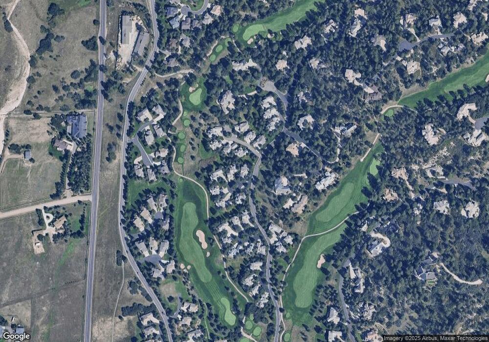
Map
Nearby Homes
- 3122 Ramshorn Dr
- 122 Silver Leaf Way
- 3228 Country Club Pkwy
- 3224 Country Club Pkwy
- 3223 Country Club Pkwy
- 811 Moffat Ct
- 99 Coulter Place
- 218 Hidden Valley Ln
- 1009 Hummingbird Dr Unit B2
- 910 Equinox Dr
- 1170 Lost Elk Cir
- 937 Aztec Dr
- 77 Comstock Place
- 786 International Isle Dr
- 867 Homestake Ct
- 874 Wolverine Ct
- 870 Homestake Ct
- 15 Castle Pines Dr N
- 1202 Wildcat Bend Ct
- 7 Elk Pointe Ln
- 3112 Ramshorn Dr
- 3110 Ramshorn Dr
- 3116 Ramshorn Dr
- 3113 Ramshorn Dr
- 3109 Ramshorn Dr
- 3104 Ramshorn Dr
- 3114 Ramshorn Dr
- 175 Ramshorn Dr
- 3115 Ramshorn Dr
- 3105 Ramshorn Dr
- 3108 Ramshorn Dr
- 3106 Ramshorn Dr
- 3117 Ramshorn Dr
- 3118 Ramshorn Dr
- 3107 Ramshorn Dr
- 176 Ramshorn Dr
- 3103 Ramshorn Dr
- 3119 Ramshorn Dr
- 174 Ramshorn Dr
- 3102 Ramshorn Dr