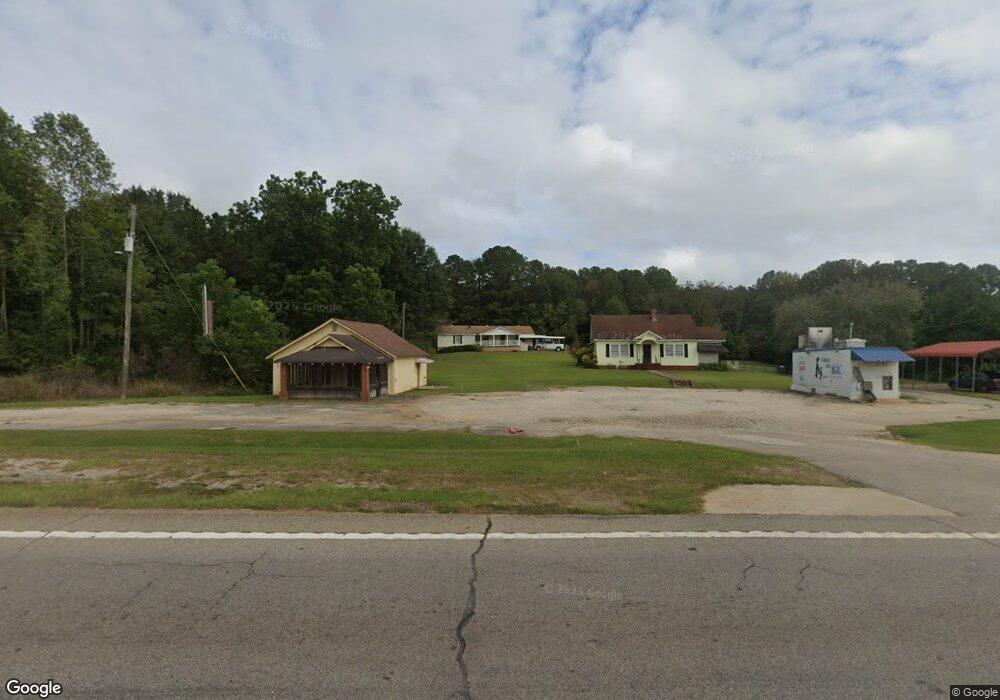
3112 Roanoke Rd Lagrange, GA 30240
Estimated Value: $191,919 - $208,000
3
Beds
2
Baths
1,440
Sq Ft
$138/Sq Ft
Est. Value
About This Home
This home is located at 3112 Roanoke Rd, Lagrange, GA 30240 and is currently estimated at $198,230, approximately $137 per square foot. 3112 Roanoke Rd is a home located in Troup County with nearby schools including Ethel W. Kight Elementary School, Hollis Hand Elementary School, and Franklin Forest Elementary School.
Ownership History
Date
Name
Owned For
Owner Type
Purchase Details
Closed on
Sep 22, 2005
Sold by
Smith Tona J
Bought by
Smith Ricky and Smith Tona J
Current Estimated Value
Purchase Details
Closed on
Jan 30, 1985
Sold by
Hale C L
Bought by
Tona J Smith
Purchase Details
Closed on
Nov 1, 1981
Sold by
Market Doris
Bought by
Hale C L
Create a Home Valuation Report for This Property
The Home Valuation Report is an in-depth analysis detailing your home's value as well as a comparison with similar homes in the area
Home Values in the Area
Average Home Value in this Area
Purchase History
| Date | Buyer | Sale Price | Title Company |
|---|---|---|---|
| Smith Ricky | -- | -- | |
| Tona J Smith | $2,200 | -- | |
| Hale C L | $2,200 | -- |
Source: Public Records
Tax History Compared to Growth
Tax History
| Year | Tax Paid | Tax Assessment Tax Assessment Total Assessment is a certain percentage of the fair market value that is determined by local assessors to be the total taxable value of land and additions on the property. | Land | Improvement |
|---|---|---|---|---|
| 2024 | $1,290 | $49,280 | $3,760 | $45,520 |
| 2023 | $1,110 | $42,680 | $3,760 | $38,920 |
| 2022 | $1,056 | $39,840 | $3,760 | $36,080 |
| 2021 | $1,046 | $36,680 | $3,560 | $33,120 |
| 2020 | $946 | $33,360 | $3,560 | $29,800 |
| 2019 | $959 | $33,800 | $3,560 | $30,240 |
| 2018 | $876 | $31,040 | $3,560 | $27,480 |
| 2017 | $850 | $30,160 | $3,560 | $26,600 |
| 2016 | $794 | $28,303 | $3,588 | $24,715 |
| 2015 | $795 | $28,303 | $3,588 | $24,715 |
| 2014 | $757 | $27,002 | $3,588 | $23,414 |
| 2013 | -- | $28,143 | $3,588 | $24,555 |
Source: Public Records
Map
Nearby Homes
- LOT 4 Angela Dr
- E Angela Dr
- 243 Oak Dr
- 146 Whitaker Rd
- 190 Hill Rd
- 200 Cheyenne Dr
- 509 Connie Dr
- 124 Foxdale Dr
- 117 Brookwood Dr
- 610 Ginger Cir
- 0 Deming St Unit 10550189
- 104 Spring Valley Dr
- 108 Spring Valley Dr
- 223 Pinehaven Dr
- 135 Planters Ridge Dr
- 102 Foxdale Dr
- 641 Whitaker Rd
- 709 Vernon Ferry Rd
- 208 Highland Trail
- 114 Westgate Dr
- 3116 Roanoke Rd
- 3068 Roanoke Rd
- 3099 Roanoke Rd
- 44 Vernon Ferry Rd
- 20 Tatum Heights Dr
- 3075 Roanoke Rd
- 3044 Roanoke Rd
- 3059 Roanoke Rd
- 32 Tatum Heights Dr
- 66 Vernon Ferry Rd
- 38 Vernon Ferry Rd
- 59 Vernon Ferry Rd
- 3047 Roanoke Rd
- 52 Tatum Heights Dr
- 78 Vernon Ferry Rd
- 57 Tatum Heights Dr
- 29 Hearn Rd
- 3019 Roanoke Rd
- 75 Tatum Heights Dr
- 91 Vernon Ferry Rd