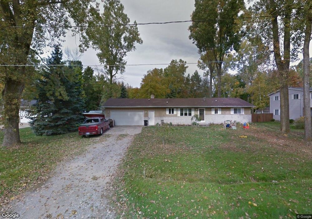
3113 Moran Rd Birch Run, MI 48415
Estimated Value: $177,000 - $260,000
3
Beds
2
Baths
1,364
Sq Ft
$157/Sq Ft
Est. Value
About This Home
This home is located at 3113 Moran Rd, Birch Run, MI 48415 and is currently estimated at $214,366, approximately $157 per square foot. 3113 Moran Rd is a home located in Saginaw County with nearby schools including Thomas White School, Martin G. Atkins Elementary School, and Bridgeport-Spaulding Middle School - Martin G. Atkins.
Ownership History
Date
Name
Owned For
Owner Type
Purchase Details
Closed on
Jun 25, 2010
Sold by
Citimortgage Inc
Bought by
Obeginski Robert
Current Estimated Value
Home Financials for this Owner
Home Financials are based on the most recent Mortgage that was taken out on this home.
Original Mortgage
$67,913
Interest Rate
5.5%
Mortgage Type
FHA
Purchase Details
Closed on
Sep 25, 2009
Sold by
Markle Robert B and Cervantes Markle Cindy
Bought by
Citimortgage Inc
Purchase Details
Closed on
May 12, 2004
Sold by
Geitman Kim J and Geitman Carol A
Bought by
Markle Robert B and Markle Cindy C
Home Financials for this Owner
Home Financials are based on the most recent Mortgage that was taken out on this home.
Original Mortgage
$124,000
Interest Rate
6.17%
Mortgage Type
Purchase Money Mortgage
Create a Home Valuation Report for This Property
The Home Valuation Report is an in-depth analysis detailing your home's value as well as a comparison with similar homes in the area
Purchase History
| Date | Buyer | Sale Price | Title Company |
|---|---|---|---|
| Obeginski Robert | $34,900 | -- | |
| Citimortgage Inc | $44,102 | -- | |
| Markle Robert B | $119,500 | -- | |
| Markle Robert B | $119,500 | Ati Title Company Agency |
Source: Public Records
Mortgage History
| Date | Status | Borrower | Loan Amount |
|---|---|---|---|
| Previous Owner | Obeginski Robert | $67,913 | |
| Previous Owner | Markle Robert B | $124,000 |
Source: Public Records
Tax History
| Year | Tax Paid | Tax Assessment Tax Assessment Total Assessment is a certain percentage of the fair market value that is determined by local assessors to be the total taxable value of land and additions on the property. | Land | Improvement |
|---|---|---|---|---|
| 2025 | $556 | $79,200 | $0 | $0 |
| 2024 | $539 | $77,400 | $0 | $0 |
| 2023 | $513 | $67,000 | $0 | $0 |
| 2022 | $1,753 | $61,000 | $0 | $0 |
| 2021 | $1,610 | $54,400 | $0 | $0 |
| 2020 | $1,567 | $49,300 | $0 | $0 |
| 2019 | $1,487 | $46,500 | $6,800 | $39,700 |
| 2018 | $448 | $47,200 | $0 | $0 |
| 2017 | $1,346 | $43,400 | $0 | $0 |
| 2016 | $1,456 | $44,100 | $0 | $0 |
| 2014 | -- | $38,900 | $0 | $32,900 |
| 2013 | -- | $38,700 | $0 | $0 |
Source: Public Records
Map
Nearby Homes
- 3241 Curtis Rd
- 6580 Bell Rd
- VL Fort Rd
- 3937 Curtis Rd
- 3130 E Moore Rd
- 6644 Dorwood Rd
- 4333 Riverview Dr
- 1855 Hastings St
- 7863 Sheridan Rd Lot #2 Rd
- 7863 Sheridan Rd Lot 4 Rd
- 6473 Sheridan Rd
- 5383 Riverview Dr
- 6412 Tin Lizzy Ln
- 7720 Rookway Rd
- 6250 Dixie Hwy
- 6605 Bridgeport Hwy
- 3838 Sherman St
- 1321 Ruby Ann Dr
- Parcel E W Rolling Hills Dr
- Parcel B W Rolling Hills Dr
Your Personal Tour Guide
Ask me questions while you tour the home.