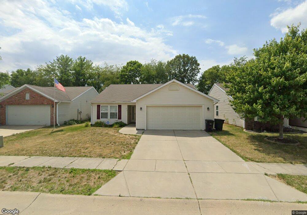
3114 Runyon Dr Lafayette, IN 47909
Bridge Water NeighborhoodEstimated Value: $255,661 - $276,000
Studio
--
Bath
1,505
Sq Ft
$178/Sq Ft
Est. Value
About This Home
This home is located at 3114 Runyon Dr, Lafayette, IN 47909 and is currently estimated at $267,665, approximately $177 per square foot. 3114 Runyon Dr is a home located in Tippecanoe County with nearby schools including Woodland Elementary School, Wea Ridge Middle School, and McCutcheon High School.
Ownership History
Date
Name
Owned For
Owner Type
Purchase Details
Closed on
May 6, 2021
Sold by
Edwards Ryan J and Baker Tanya
Bought by
Li Tao and Liu Qiaorong
Current Estimated Value
Purchase Details
Closed on
Apr 2, 2019
Sold by
Ryan Edwarda
Bought by
Edwarda Ryan J and Baker Tany
Purchase Details
Closed on
Jun 23, 2006
Sold by
Tempest Homes Llc
Bought by
Edwards Ryan
Home Financials for this Owner
Home Financials are based on the most recent Mortgage that was taken out on this home.
Original Mortgage
$97,840
Interest Rate
6.73%
Mortgage Type
Unknown
Purchase Details
Closed on
Jun 22, 2006
Sold by
Kimbarlin Llc
Bought by
Tempest Homes Llc
Home Financials for this Owner
Home Financials are based on the most recent Mortgage that was taken out on this home.
Original Mortgage
$97,840
Interest Rate
6.73%
Mortgage Type
Unknown
Create a Home Valuation Report for This Property
The Home Valuation Report is an in-depth analysis detailing your home's value as well as a comparison with similar homes in the area
Home Values in the Area
Average Home Value in this Area
Purchase History
| Date | Buyer | Sale Price | Title Company |
|---|---|---|---|
| Li Tao | $195,000 | None Available | |
| Li Tao | -- | First American Title | |
| Edwarda Ryan J | -- | American Home Title | |
| Edwards Ryan | -- | None Available | |
| Tempest Homes Llc | -- | None Available |
Source: Public Records
Mortgage History
| Date | Status | Borrower | Loan Amount |
|---|---|---|---|
| Previous Owner | Edwards Ryan | $97,840 | |
| Previous Owner | Tempest Homes Llc | $24,460 |
Source: Public Records
Tax History
| Year | Tax Paid | Tax Assessment Tax Assessment Total Assessment is a certain percentage of the fair market value that is determined by local assessors to be the total taxable value of land and additions on the property. | Land | Improvement |
|---|---|---|---|---|
| 2024 | $4,102 | $205,100 | $28,000 | $177,100 |
| 2023 | $3,796 | $189,800 | $28,000 | $161,800 |
| 2022 | $3,338 | $166,900 | $28,000 | $138,900 |
| 2021 | $1,508 | $150,800 | $28,000 | $122,800 |
| 2020 | $1,400 | $140,000 | $28,000 | $112,000 |
| 2019 | $1,199 | $131,400 | $28,000 | $103,400 |
| 2018 | $1,081 | $125,200 | $28,000 | $97,200 |
| 2017 | $999 | $118,400 | $25,000 | $93,400 |
| 2016 | $928 | $115,400 | $20,000 | $95,400 |
| 2014 | $786 | $107,200 | $20,000 | $87,200 |
| 2013 | $801 | $107,100 | $20,000 | $87,100 |
Source: Public Records
Map
Nearby Homes
- 2401 Southaven Blvd
- 3605 Braddock Dr
- 116 Coldbrook Dr
- 1920 Honeybrook Way
- 3225 Pipers Glen Dr
- 2417 Shasta Dr
- 3303 Crosspoint Ct S
- 2003 Kingfisher Dr
- 3500 Waverly Dr
- 1301 Norma Jean Dr
- 3401 S 11th St
- 3113 Fairwood Dr
- 4040 Spinel St
- 1712 Wolfson Way
- 1023 Brick N Wood Dr
- 50 Shadow Valley Ct
- 2402 Beck Ln
- 4006 Crofton St
- 904 N Southland Dr
- 1045 Southlea Dr
Your Personal Tour Guide
Ask me questions while you tour the home.