31142 320th St Browerville, MN 56438
Estimated Value: $81,000
--
Bed
--
Bath
--
Sq Ft
19.16
Acres
About This Home
This home is located at 31142 320th St, Browerville, MN 56438 and is currently estimated at $81,000. 31142 320th St is a home located in Todd County with nearby schools including Browerville Elementary School and Browerville Secondary School.
Ownership History
Date
Name
Owned For
Owner Type
Purchase Details
Closed on
Jul 31, 2015
Sold by
Vogt Gary Gary
Current Estimated Value
Purchase Details
Closed on
Jun 1, 2010
Sold by
Foote Jason D and Foote Tiffany
Bought by
Foote Jason D and Foote Tiffany
Purchase Details
Closed on
May 25, 2010
Sold by
Vogt Gary and Vogt Sandra
Bought by
Foote Jason D
Purchase Details
Closed on
Nov 9, 2009
Sold by
Mid Central Federal Savings Bank
Bought by
Vogt Gary and Vogt Sandra
Purchase Details
Closed on
Aug 15, 2006
Sold by
Nelson William B and Nelson Patricia M
Bought by
Nenning Victor A and Nenning Jean L
Home Financials for this Owner
Home Financials are based on the most recent Mortgage that was taken out on this home.
Original Mortgage
$42,500
Interest Rate
10%
Mortgage Type
Adjustable Rate Mortgage/ARM
Create a Home Valuation Report for This Property
The Home Valuation Report is an in-depth analysis detailing your home's value as well as a comparison with similar homes in the area
Home Values in the Area
Average Home Value in this Area
Purchase History
| Date | Buyer | Sale Price | Title Company |
|---|---|---|---|
| -- | $110,000 | -- | |
| Foote Jason D | -- | None Available | |
| Foote Jason D | $2,300 | Todd County Title & Abst | |
| Vogt Gary | $38,000 | None Available | |
| Nenning Victor A | $43,000 | None Available |
Source: Public Records
Mortgage History
| Date | Status | Borrower | Loan Amount |
|---|---|---|---|
| Previous Owner | Nenning Victor A | $42,500 |
Source: Public Records
Tax History Compared to Growth
Tax History
| Year | Tax Paid | Tax Assessment Tax Assessment Total Assessment is a certain percentage of the fair market value that is determined by local assessors to be the total taxable value of land and additions on the property. | Land | Improvement |
|---|---|---|---|---|
| 2025 | $456 | $65,800 | $65,800 | $0 |
| 2024 | $448 | $65,800 | $65,800 | $0 |
| 2023 | $492 | $64,600 | $64,600 | $0 |
| 2022 | $458 | $64,100 | $64,100 | $0 |
| 2021 | $410 | $49,000 | $49,000 | $0 |
| 2020 | $428 | $42,900 | $42,900 | $0 |
| 2019 | $486 | $42,900 | $42,900 | $0 |
| 2018 | $428 | $42,900 | $42,900 | $0 |
| 2017 | $544 | $39,200 | $39,200 | $0 |
| 2016 | $544 | $43,200 | $41,700 | $1,500 |
| 2015 | $532 | $0 | $0 | $0 |
| 2014 | -- | $0 | $0 | $0 |
Source: Public Records
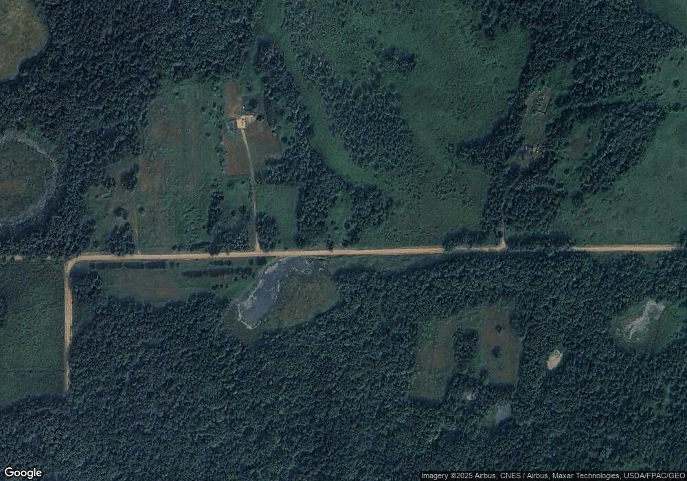
Map
Nearby Homes
- 30472 Lightning Pass
- 31393 Little Pine Ln
- 33649 Lupine Dr
- 32752 County 16
- TBD County 29
- 0000 County 61
- TBD County 61
- 1xxx Apron Rd
- XXX County 29
- 26564 Lake Beauty Rd
- 33558 251st Ave
- 38525 Northstar Dr
- 150 Gillis Ave S
- 24355 350th St
- 23911 County Road 14
- XXXX Ottawa Dr
- TBD 350th St
- TBD Ottawa Dr
- 28087 County 5
- XXX Marble Dr