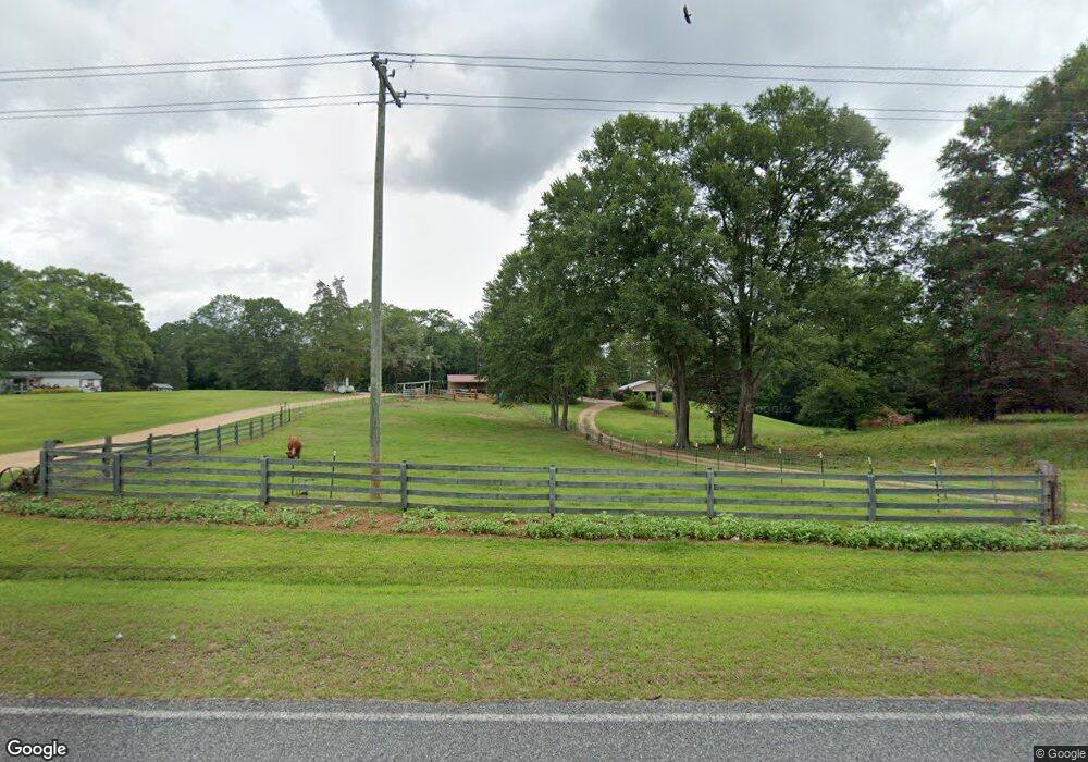
3115 River Ridge Rd Summit, MS 39666
Estimated Value: $77,207 - $300,000
2
Beds
1
Bath
1,099
Sq Ft
$166/Sq Ft
Est. Value
About This Home
This home is located at 3115 River Ridge Rd, Summit, MS 39666 and is currently estimated at $182,302, approximately $165 per square foot. 3115 River Ridge Rd is a home located in Pike County with nearby schools including North Pike Elementary School, North Pike Middle School, and North Pike Senior High School.
Ownership History
Date
Name
Owned For
Owner Type
Purchase Details
Closed on
Jun 17, 2005
Sold by
White John B and White Nell
Bought by
Thornhill Jeremy
Current Estimated Value
Home Financials for this Owner
Home Financials are based on the most recent Mortgage that was taken out on this home.
Original Mortgage
$97,500
Outstanding Balance
$50,248
Interest Rate
5.66%
Mortgage Type
New Conventional
Estimated Equity
$132,054
Create a Home Valuation Report for This Property
The Home Valuation Report is an in-depth analysis detailing your home's value as well as a comparison with similar homes in the area
Purchase History
| Date | Buyer | Sale Price | Title Company |
|---|---|---|---|
| Thornhill Jeremy | -- | None Available |
Source: Public Records
Mortgage History
| Date | Status | Borrower | Loan Amount |
|---|---|---|---|
| Open | Thornhill Jeremy | $97,500 |
Source: Public Records
Tax History
| Year | Tax Paid | Tax Assessment Tax Assessment Total Assessment is a certain percentage of the fair market value that is determined by local assessors to be the total taxable value of land and additions on the property. | Land | Improvement |
|---|---|---|---|---|
| 2025 | $102 | $1,109 | $0 | $0 |
| 2024 | $123 | $1,286 | $0 | $0 |
| 2023 | $119 | $1,286 | $0 | $0 |
| 2022 | $116 | $1,286 | $0 | $0 |
| 2021 | $116 | $1,286 | $0 | $0 |
| 2020 | $124 | $1,344 | $0 | $0 |
| 2019 | $120 | $1,344 | $0 | $0 |
| 2018 | $119 | $1,344 | $0 | $0 |
| 2017 | $115 | $1,344 | $0 | $0 |
| 2016 | $113 | $1,344 | $0 | $0 |
| 2015 | -- | $1,346 | $0 | $0 |
| 2014 | -- | $1,346 | $0 | $0 |
| 2013 | -- | $1,346 | $0 | $0 |
Source: Public Records
Map
Nearby Homes
- 1022 Friendship Cir
- 1086 Stewart Mill Rd
- 0 Rolling Oaks Dr
- 1011 Rolling Oaks Dr
- Tbd Hwy 570 River Road N and S
- 1024 Sabrina Dr
- 1028 Chester Reeves Rd
- 1171 Friendship Rd
- 1021 Great Point Rd
- 0 Deer Ridge Rd
- 1021 Austin Smith Rd
- 1073 Hillcrest Farms Ln
- 0 Lucille Ln
- XXX Brewer Ln
- 1086 Mississippi 570
- 1011 Eastover Ln
- 2067 McComb Hville Rd
- 0 River Rd N
- TBD River Rd N
- 2190 Summit Holmesville Rd
- 3101 River Ridge Rd
- 3152 River Ridge Rd
- 3100 River Ridge Rd
- 1003 Dirt Rd
- 3084 River Ridge Rd
- 3071 River Ridge Rd
- 3133 River Ridge Rd
- 3152 Carter Ln
- 3108 River Ridge Rd
- 3068 River Ridge Rd
- 3062 River Ridge Rd
- 3180 River Ridge Rd
- 3056 River Ridge Rd
- 1012 Opal Ln
- 1083 Opal Ln
- 1043 Carter Ln
- 3075 River Ridge Rd
- 1041 Carter Ln
- 494 River Ridge Rd
- 3022 River Ridge Rd
Your Personal Tour Guide
Ask me questions while you tour the home.