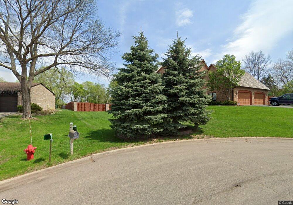
3116 Foxpoint Cir Unit 3116 Burnsville, MN 55337
Estimated Value: $632,000 - $725,000
3
Beds
5
Baths
2,731
Sq Ft
$251/Sq Ft
Est. Value
About This Home
This home is located at 3116 Foxpoint Cir Unit 3116, Burnsville, MN 55337 and is currently estimated at $685,903, approximately $251 per square foot. 3116 Foxpoint Cir Unit 3116 is a home located in Dakota County with nearby schools including Burnsville High School, Gateway STEM Academy, and Sunrise International Montessori School.
Ownership History
Date
Name
Owned For
Owner Type
Purchase Details
Closed on
Jun 28, 2018
Sold by
Wells Fargo Bank Na
Bought by
Simmons Robert
Current Estimated Value
Home Financials for this Owner
Home Financials are based on the most recent Mortgage that was taken out on this home.
Original Mortgage
$333,750
Outstanding Balance
$289,884
Interest Rate
4.6%
Mortgage Type
New Conventional
Estimated Equity
$396,019
Purchase Details
Closed on
Nov 30, 2017
Sold by
Masten Ii James L and Eaton David
Bought by
Wells Fargo Bank N A
Purchase Details
Closed on
Aug 10, 2007
Sold by
Brynteson Glen H
Bought by
Scott J Lefevre Living Trust
Purchase Details
Closed on
Jun 23, 1999
Sold by
Depalma Eugene A and Depalma Brenda S
Bought by
Brynteson Glen A
Create a Home Valuation Report for This Property
The Home Valuation Report is an in-depth analysis detailing your home's value as well as a comparison with similar homes in the area
Home Values in the Area
Average Home Value in this Area
Purchase History
| Date | Buyer | Sale Price | Title Company |
|---|---|---|---|
| Simmons Robert | $445,000 | None Available | |
| Wells Fargo Bank N A | -- | Stewart Title Guaranty Compa | |
| Scott J Lefevre Living Trust | $670,000 | -- | |
| Brynteson Glen A | $442,000 | -- |
Source: Public Records
Mortgage History
| Date | Status | Borrower | Loan Amount |
|---|---|---|---|
| Open | Simmons Robert | $333,750 |
Source: Public Records
Tax History Compared to Growth
Tax History
| Year | Tax Paid | Tax Assessment Tax Assessment Total Assessment is a certain percentage of the fair market value that is determined by local assessors to be the total taxable value of land and additions on the property. | Land | Improvement |
|---|---|---|---|---|
| 2024 | $7,464 | $683,500 | $157,200 | $526,300 |
| 2023 | $7,464 | $671,300 | $157,300 | $514,000 |
| 2022 | $6,684 | $659,700 | $157,000 | $502,700 |
| 2021 | $6,902 | $597,500 | $136,500 | $461,000 |
| 2020 | $7,280 | $586,300 | $184,900 | $401,400 |
| 2019 | $6,940 | $594,700 | $176,100 | $418,600 |
| 2018 | $7,165 | $545,900 | $167,700 | $378,200 |
| 2017 | $6,654 | $546,700 | $159,700 | $387,000 |
| 2016 | $7,690 | $504,900 | $152,100 | $352,800 |
| 2015 | $7,185 | $550,700 | $147,700 | $403,000 |
| 2014 | -- | $540,000 | $145,000 | $395,000 |
| 2013 | -- | $523,500 | $132,800 | $390,700 |
Source: Public Records
Map
Nearby Homes
- 3108 Foxpoint Cir
- 3113 Chandler Ct
- 4165 Old Sibley Hwy
- 10934 Southview Dr
- 11017 27th Ave S
- 11036 27th Ave S
- 2177 Cool Stream Cir
- 11459 Galtier Dr
- 4413 Slater Rd
- 4425 Cinnamon Ridge Cir
- 4427 Cinnamon Ridge Cir
- 2001 Woods Ln
- 4463 Cinnamon Ridge Cir
- 4370 Nicols Rd
- 2079 Garnet Ln
- 2007 E 115th St
- 3017 Mcleod St
- 4247 Limestone Dr
- 2081 Copper Ln
- 11311 W River Hills Dr
- 3116 Foxpoint Cir
- 3112 Foxpoint Cir
- 3124 Foxpoint Cir
- 3200 Foxpoint Rd
- 10812 Cedarbridge Ave
- 10808 Cedarbridge Ave
- 3204 Foxpoint Rd
- 10804 Cedarbridge Ave
- 10800 Cedarbridge Ave
- 3105 Foxpoint Rd
- 3208 Foxpoint Rd
- 10796 Cedarbridge Ave
- 3004 Foxpoint Rd
- 3113 Foxpoint Rd
- 3109 Foxpoint Rd
- 10816 Cedarbridge Ave
- 3201 Foxpoint Rd
- 3205 Foxpoint Rd
- 3101 Foxpoint Rd
- 3000 Foxpoint Rd