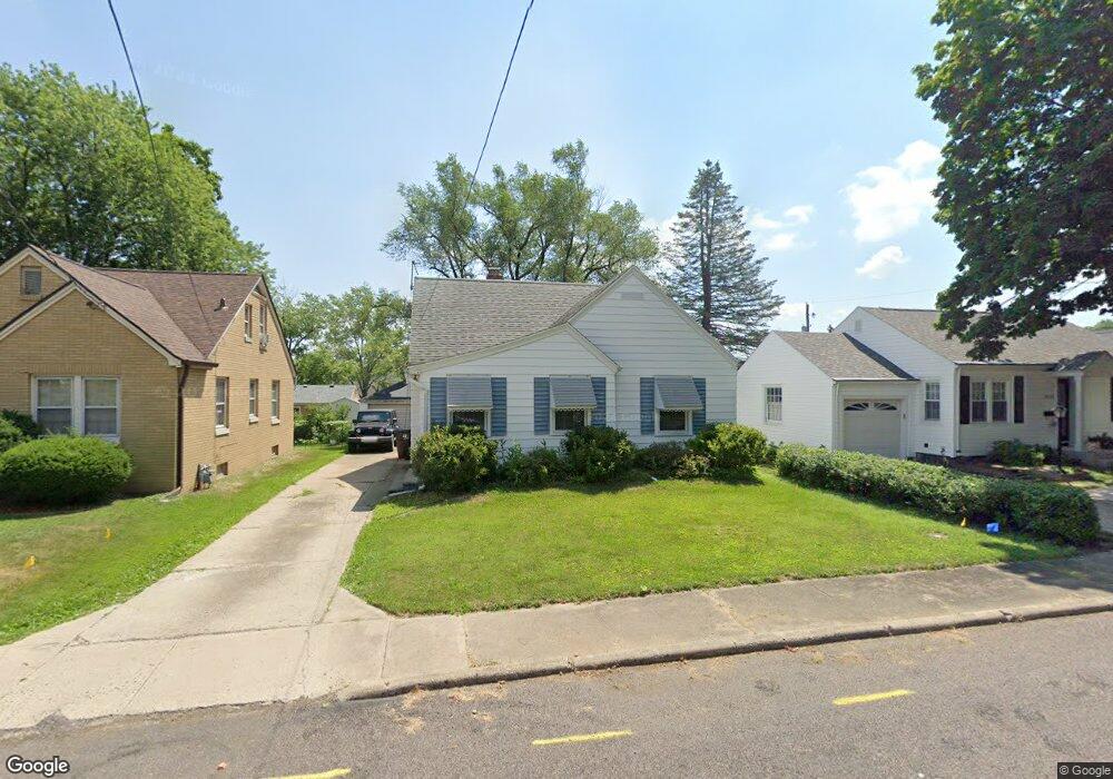
3116 N Ellis St Peoria, IL 61604
West Bluff NeighborhoodEstimated Value: $97,317 - $146,000
3
Beds
1
Bath
1,336
Sq Ft
$90/Sq Ft
Est. Value
About This Home
This home is located at 3116 N Ellis St, Peoria, IL 61604 and is currently estimated at $119,579, approximately $89 per square foot. 3116 N Ellis St is a home located in Peoria County with nearby schools including Dr. C. T. Vivian Primary School, Sterling Middle School, and Peoria High School.
Ownership History
Date
Name
Owned For
Owner Type
Purchase Details
Closed on
Dec 12, 2023
Sold by
Obrien Charles W
Bought by
Shrestha Kelisha and Shrestha Keshab
Current Estimated Value
Purchase Details
Closed on
Dec 7, 2023
Sold by
Obrien Charles W
Bought by
Shrestha Kelisha and Shrestha Keshab
Purchase Details
Closed on
Jun 2, 2011
Bought by
O'Brien Charles W
Create a Home Valuation Report for This Property
The Home Valuation Report is an in-depth analysis detailing your home's value as well as a comparison with similar homes in the area
Home Values in the Area
Average Home Value in this Area
Purchase History
| Date | Buyer | Sale Price | Title Company |
|---|---|---|---|
| Shrestha Kelisha | $90,000 | None Listed On Document | |
| Shrestha Kelisha | $90,000 | None Listed On Document | |
| O'Brien Charles W | $77,500 | -- |
Source: Public Records
Tax History Compared to Growth
Tax History
| Year | Tax Paid | Tax Assessment Tax Assessment Total Assessment is a certain percentage of the fair market value that is determined by local assessors to be the total taxable value of land and additions on the property. | Land | Improvement |
|---|---|---|---|---|
| 2024 | $1,678 | $29,550 | $5,860 | $23,690 |
| 2023 | $1,986 | $27,110 | $5,380 | $21,730 |
| 2022 | $1,940 | $26,110 | $5,170 | $20,940 |
| 2021 | $1,875 | $24,860 | $4,920 | $19,940 |
| 2020 | $1,865 | $24,610 | $4,870 | $19,740 |
| 2019 | $1,904 | $25,110 | $4,970 | $20,140 |
| 2018 | $1,946 | $25,980 | $5,020 | $20,960 |
| 2017 | $1,951 | $26,240 | $5,070 | $21,170 |
| 2016 | $1,885 | $26,240 | $5,070 | $21,170 |
| 2015 | $1,738 | $25,720 | $4,970 | $20,750 |
| 2014 | $1,745 | $24,880 | $4,710 | $20,170 |
| 2013 | -- | $25,180 | $4,770 | $20,410 |
Source: Public Records
Map
Nearby Homes
- 609 W Hudson St
- 3118 N Sheridan Rd
- 425 W Hudson St
- 502 W Melbourne Ave
- 401 W Forrest Hill Ave
- 3007 N Sheridan Rd
- 600 W Richwoods Blvd
- 800 W Forrest Hill Ave
- 3203 N Biltmore Ave
- 302 W Melbourne Ave
- 718 W Corrington Ave
- 720 W Corrington Ave
- 512 W Willcox Ave
- 125 W Forrest Hill Ave
- 1011 W Forrest Hill Ave
- 3026 N Parish Ave
- 810 W Hanssler Place
- 308 W Edgevale Place
- 201 W Hanssler Place
- 2624 N Bigelow St
- 3118 N Ellis St
- 3112 N Ellis St
- 3117 N Delmar Ct
- 3121 N Delmar Ct
- 3113 N Delmar Ct
- 516 W Hudson St
- 518 W Hudson St
- 533 W Forrest Hill Ave
- 535 W Forrest Hill Ave
- 537 W Forrest Hill Ave
- 3115 N Ellis St
- 3127 N Ellis St
- 3119 N Ellis St
- 529 W Forrest Hill Ave
- 3113 N Ellis St
- 3125 N Delmar Ct
- 601 W Forrest Hill Ave
- 604 W Hudson St
- 527 W Forrest Hill Ave
- 606 W Hudson St