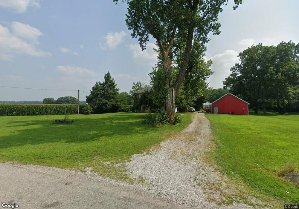
3116 W 600 S Rossville, IN 46065
Estimated Value: $236,919 - $383,000
4
Beds
1
Bath
1,982
Sq Ft
$146/Sq Ft
Est. Value
About This Home
This home is located at 3116 W 600 S, Rossville, IN 46065 and is currently estimated at $290,230, approximately $146 per square foot. 3116 W 600 S is a home located in Carroll County with nearby schools including Rossville Elementary School and Rossville Middle/High School.
Ownership History
Date
Name
Owned For
Owner Type
Purchase Details
Closed on
May 11, 2005
Sold by
Blumke Bret and Blumke Theresa
Bought by
Bluemke Bret and Bluemke Theresa
Current Estimated Value
Home Financials for this Owner
Home Financials are based on the most recent Mortgage that was taken out on this home.
Original Mortgage
$140,000
Outstanding Balance
$83,321
Interest Rate
8.12%
Mortgage Type
Adjustable Rate Mortgage/ARM
Estimated Equity
$206,909
Purchase Details
Closed on
Nov 12, 2004
Sold by
Bluemke Robert L and Bluemke Daniel
Bought by
Blumke Bret and Bluemke Tracy
Create a Home Valuation Report for This Property
The Home Valuation Report is an in-depth analysis detailing your home's value as well as a comparison with similar homes in the area
Home Values in the Area
Average Home Value in this Area
Purchase History
| Date | Buyer | Sale Price | Title Company |
|---|---|---|---|
| Bluemke Bret | -- | None Available | |
| Blumke Bret | -- | None Available |
Source: Public Records
Mortgage History
| Date | Status | Borrower | Loan Amount |
|---|---|---|---|
| Open | Bluemke Bret | $140,000 |
Source: Public Records
Tax History Compared to Growth
Tax History
| Year | Tax Paid | Tax Assessment Tax Assessment Total Assessment is a certain percentage of the fair market value that is determined by local assessors to be the total taxable value of land and additions on the property. | Land | Improvement |
|---|---|---|---|---|
| 2024 | $638 | $153,900 | $36,300 | $117,600 |
| 2023 | $781 | $150,800 | $33,000 | $117,800 |
| 2022 | $781 | $145,900 | $33,000 | $112,900 |
| 2021 | $844 | $143,400 | $31,000 | $112,400 |
| 2020 | $662 | $135,100 | $31,000 | $104,100 |
| 2019 | $724 | $135,300 | $31,000 | $104,300 |
| 2018 | $688 | $135,400 | $31,000 | $104,400 |
| 2017 | $612 | $135,600 | $26,900 | $108,700 |
| 2016 | $583 | $122,900 | $26,900 | $96,000 |
| 2014 | $630 | $132,400 | $29,000 | $103,400 |
Source: Public Records
Map
Nearby Homes
- 23 Freeman Dr
- 114 N Plank St
- 105 E North St
- 0 W 700 Rd S Unit 202531697
- 8774 N Co Road 600 W
- 964 E 400 S
- 1026 E 400 S
- 7930 W 550 S
- 5239 S 800 W
- 6732 N State Road 39
- 8605 Indiana 26
- 8615 W State Rd 26
- 63 W 145 S
- 99 Westwood Dr
- 124 W Columbia St
- 211 Brookview Ln
- 212 Brookview Ln
- E E 800 S
- 214 E Columbia St
- 302 N 1025 E
- 5918 S Prince William Rd
- 5718 S Prince William Rd
- 3304 W 600 S
- 6238 S Prince William Rd
- 5802 S Prince William Rd
- 3335 W 600 S
- 5798 S Prince William Rd
- 0 S Prince William Rd
- 6016 S 350 W
- 6094 S 350 W
- 2681 W 575 S
- 6285 S 350 W
- 5695 S Prince William Rd
- 2594 W 575 S
- 3401 W 650 S
- 3775 E 600 S
- 3758 W 600 S
- 3481 W 650 S
- 2496 W 600 S