31160 SE Bluff Rd Gresham, OR 97080
Sandy River NeighborhoodEstimated Value: $815,730 - $1,024,000
4
Beds
3
Baths
2,462
Sq Ft
$368/Sq Ft
Est. Value
About This Home
This home is located at 31160 SE Bluff Rd, Gresham, OR 97080 and is currently estimated at $905,433, approximately $367 per square foot. 31160 SE Bluff Rd is a home located in Multnomah County with nearby schools including East Orient Elementary School, West Orient Middle School, and Sam Barlow High School.
Ownership History
Date
Name
Owned For
Owner Type
Purchase Details
Closed on
Jul 3, 2014
Sold by
Oswalt Allen B and Oswalt Kelly E
Bought by
Denola Richard H
Current Estimated Value
Home Financials for this Owner
Home Financials are based on the most recent Mortgage that was taken out on this home.
Original Mortgage
$360,000
Outstanding Balance
$272,997
Interest Rate
4.12%
Mortgage Type
Adjustable Rate Mortgage/ARM
Estimated Equity
$632,436
Purchase Details
Closed on
Jul 9, 1997
Sold by
Tjaden Susan M and Tjaden Ronald C
Bought by
Oswalt Allen B and Oswalt Kelly E
Create a Home Valuation Report for This Property
The Home Valuation Report is an in-depth analysis detailing your home's value as well as a comparison with similar homes in the area
Home Values in the Area
Average Home Value in this Area
Purchase History
| Date | Buyer | Sale Price | Title Company |
|---|---|---|---|
| Denola Richard H | $480,000 | First American | |
| Oswalt Allen B | $305,000 | Fidelity National Title Co |
Source: Public Records
Mortgage History
| Date | Status | Borrower | Loan Amount |
|---|---|---|---|
| Open | Denola Richard H | $360,000 |
Source: Public Records
Tax History
| Year | Tax Paid | Tax Assessment Tax Assessment Total Assessment is a certain percentage of the fair market value that is determined by local assessors to be the total taxable value of land and additions on the property. | Land | Improvement |
|---|---|---|---|---|
| 2025 | $10,126 | $555,560 | -- | -- |
| 2024 | $9,676 | $539,380 | -- | -- |
| 2023 | $9,461 | $523,670 | $0 | $0 |
| 2022 | $9,197 | $508,420 | $0 | $0 |
| 2021 | $8,967 | $493,620 | $0 | $0 |
| 2020 | $8,426 | $479,250 | $0 | $0 |
| 2019 | $8,207 | $465,300 | $0 | $0 |
| 2018 | $7,819 | $451,750 | $0 | $0 |
| 2017 | $7,498 | $438,600 | $0 | $0 |
| 2016 | $6,581 | $425,830 | $0 | $0 |
Source: Public Records
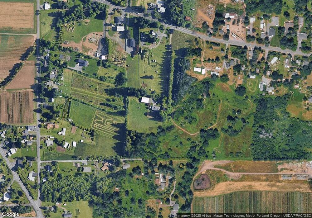
Map
Nearby Homes
- 30148 SE Bluff Rd
- 32022 SE Dodge Park Blvd
- 7137 SE 322nd Ave
- 3564 SW Binford Ave
- 3516 SW Binford Ave
- 29630 SE Wheeler Rd
- 30425 SE Haley Rd
- 31563 SE Lusted Rd
- 30945 SE Lusted Rd
- 30125 SE Chase Rd
- 6366 SE 33rd Way
- 31616 SE Pipeline Rd
- 32404 SE Pipeline Rd
- 11007 SE Mccreary Ln
- 2766 SE Teal Ave
- 11040 SE Mccreary Ln
- 9435 SE 282nd Ave
- 8105 SE 282nd Ave
- 6055 SE 28th St
- 6443 SE 22nd St
- 31002 SE Bluff Rd
- 31104 SE Bluff Rd
- 8530 SE 307th Ave
- 8520 SE 307th Ave
- 30926 SE Bluff Rd
- 31310 SE Bluff Rd
- 31231 SE Bluff Rd
- 31312 SE Bluff Rd
- 8510 SE 307th Ave
- 8540 SE 307th Ave
- 8540 SE 307th Ave-Not Busy
- 8540 SE 307th-Stream Bridges
- 8540 SE 307th No Sign
- 31021 SE Bluff Rd
- 31314 SE Bluff Rd
- 8138 SE 307th Ave
- 8138 SE Clark Rd
- 8416 SE 307th Ave
- 8326 SE 307th Ave
- 8300 SE Clark Rd
Your Personal Tour Guide
Ask me questions while you tour the home.