Estimated Value: $679,200 - $978,000
4
Beds
5
Baths
3,178
Sq Ft
$268/Sq Ft
Est. Value
About This Home
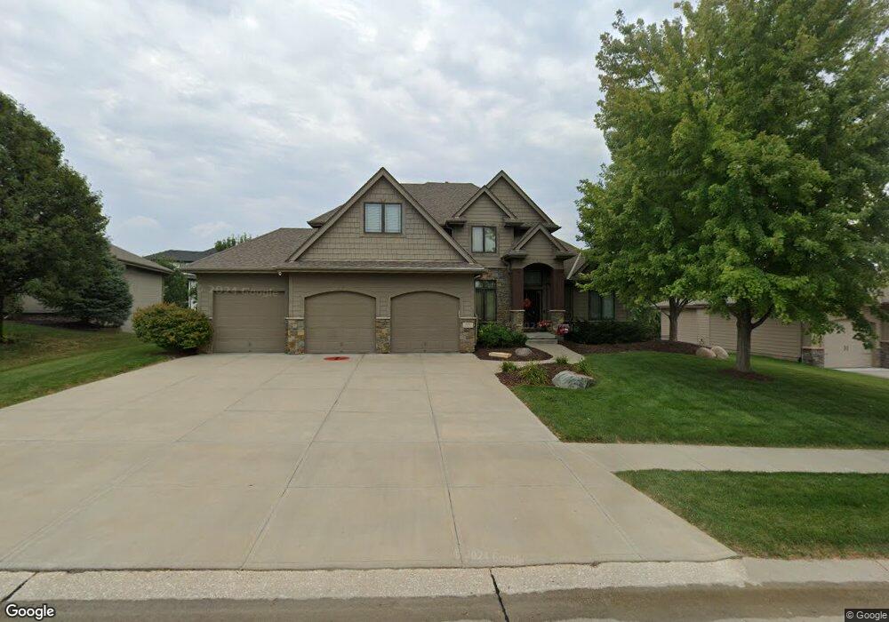
This home is located at 3117 193, Omaha, NE 68022 and is currently estimated at $850,800, approximately $267 per square foot. 3117 193 is a home located in Douglas County with nearby schools including Hillrise Elementary School, Elkhorn Middle School, and Elkhorn High School.
Ownership History
Date
Name
Owned For
Owner Type
Purchase Details
Closed on
Jun 20, 2013
Sold by
Mack David R and Mack Kathryn A
Bought by
Farrell Joseph and Farrell Heather
Current Estimated Value
Purchase Details
Closed on
May 18, 2011
Sold by
Malibu Holdings L L C
Bought by
Mack David R and Mack Kathryn A
Home Financials for this Owner
Home Financials are based on the most recent Mortgage that was taken out on this home.
Original Mortgage
$417,000
Interest Rate
4.91%
Mortgage Type
New Conventional
Purchase Details
Closed on
Mar 22, 2011
Sold by
Malibu Homes L L C
Bought by
Malibu Holdings Llc
Home Financials for this Owner
Home Financials are based on the most recent Mortgage that was taken out on this home.
Original Mortgage
$417,000
Interest Rate
4.91%
Mortgage Type
New Conventional
Purchase Details
Closed on
Dec 23, 2009
Sold by
E V E Llc
Bought by
Malibu Homes Llc
Create a Home Valuation Report for This Property
The Home Valuation Report is an in-depth analysis detailing your home's value as well as a comparison with similar homes in the area
Home Values in the Area
Average Home Value in this Area
Purchase History
| Date | Buyer | Sale Price | Title Company |
|---|---|---|---|
| Farrell Joseph | $523,000 | None Available | |
| Mack David R | $530,000 | Nlta | |
| Malibu Holdings Llc | -- | None Available | |
| Malibu Homes Llc | $70,000 | None Available |
Source: Public Records
Mortgage History
| Date | Status | Borrower | Loan Amount |
|---|---|---|---|
| Previous Owner | Mack David R | $417,000 |
Source: Public Records
Tax History
| Year | Tax Paid | Tax Assessment Tax Assessment Total Assessment is a certain percentage of the fair market value that is determined by local assessors to be the total taxable value of land and additions on the property. | Land | Improvement |
|---|---|---|---|---|
| 2025 | $10,966 | $651,000 | $51,700 | $599,300 |
| 2024 | $14,545 | $651,000 | $51,700 | $599,300 |
| 2023 | $14,545 | $651,000 | $51,700 | $599,300 |
| 2022 | $13,764 | $536,200 | $51,700 | $484,500 |
| 2021 | $14,047 | $536,200 | $51,700 | $484,500 |
| 2020 | $12,814 | $470,100 | $46,200 | $423,900 |
| 2019 | $14,433 | $516,700 | $46,200 | $470,500 |
| 2018 | $14,468 | $516,700 | $46,200 | $470,500 |
| 2017 | $14,470 | $516,700 | $46,200 | $470,500 |
| 2016 | $14,002 | $500,900 | $57,200 | $443,700 |
Source: Public Records
Map
Nearby Homes
- 2708 N 191st Ave
- 2709 N 189th St
- 2446 N 191 Ave
- 19702 Piney Creek Dr
- 19621 Piney Creek Dr
- 19706 Piney Creek Dr
- 2550 N 188th St
- 19710 Piney Creek Dr
- 5409 N 196th Ave
- 19715 Piney Creek Dr
- 19905 Piney Creek Dr
- 19914 Piney Creek Dr
- 19909 Piney Creek Dr
- 19913 Piney Creek Dr
- 20056 Piney Creek Dr
- 20055 Piney Creek Dr
- 2613 Piney Creek Dr
- 2605 Piney Creek Dr
- 2601 Piney Creek Dr
- 4101 N 191st St
Your Personal Tour Guide
Ask me questions while you tour the home.