3117 Hillcrest Rd Independence, KS 67301
Estimated Value: $190,000 - $213,000
4
Beds
3
Baths
2,045
Sq Ft
$97/Sq Ft
Est. Value
About This Home
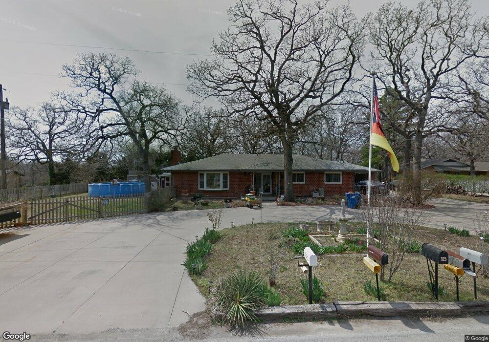
This home is located at 3117 Hillcrest Rd, Independence, KS 67301 and is currently estimated at $198,663, approximately $97 per square foot. 3117 Hillcrest Rd is a home located in Montgomery County with nearby schools including Eisenhower Elementary School, Independence Middle School, and Independence Senior High School.
Ownership History
Date
Name
Owned For
Owner Type
Purchase Details
Closed on
Oct 30, 2009
Sold by
Mattox Thomas S
Bought by
Carriker David J
Current Estimated Value
Home Financials for this Owner
Home Financials are based on the most recent Mortgage that was taken out on this home.
Original Mortgage
$124,644
Outstanding Balance
$80,640
Interest Rate
4.9%
Mortgage Type
Purchase Money Mortgage
Estimated Equity
$118,023
Create a Home Valuation Report for This Property
The Home Valuation Report is an in-depth analysis detailing your home's value as well as a comparison with similar homes in the area
Home Values in the Area
Average Home Value in this Area
Purchase History
| Date | Buyer | Sale Price | Title Company |
|---|---|---|---|
| Carriker David J | -- | -- |
Source: Public Records
Mortgage History
| Date | Status | Borrower | Loan Amount |
|---|---|---|---|
| Open | Carriker David J | $124,644 |
Source: Public Records
Tax History
| Year | Tax Paid | Tax Assessment Tax Assessment Total Assessment is a certain percentage of the fair market value that is determined by local assessors to be the total taxable value of land and additions on the property. | Land | Improvement |
|---|---|---|---|---|
| 2025 | $2,580 | $21,436 | $1,378 | $20,058 |
| 2024 | $26 | $20,223 | $1,378 | $18,845 |
| 2023 | $2,380 | $19,079 | $1,378 | $17,701 |
| 2022 | $2,380 | $16,883 | $1,320 | $15,563 |
| 2021 | $2,508 | $14,680 | $1,314 | $13,366 |
| 2020 | $2,508 | $14,656 | $1,838 | $12,818 |
| 2019 | $1,905 | $12,910 | $1,004 | $11,906 |
| 2018 | $1,889 | $12,910 | $891 | $12,019 |
| 2017 | $1,879 | $13,155 | $891 | $12,264 |
| 2016 | $1,925 | $13,409 | $891 | $12,518 |
| 2015 | -- | $12,539 | $1,070 | $11,469 |
| 2014 | -- | $12,490 | $1,070 | $11,420 |
Source: Public Records
Map
Nearby Homes
- 3921 Cr 4825 N A
- 3921 Cr 4825
- 2700 N 8th St
- 2700 Fairway Dr
- 401 Taylor Rd
- 2201 N 10th St
- 300 Mulberry St
- 3029 Majestic Dr
- 3040 Regency Dr
- 601 Pearl Ave
- 3000 Royal Ct
- 609 N West Catulpa St
- 5032 U S 75
- 1735 Irving St
- 706 Landon Dr
- 1601 N Pennsylvania Ave
- 1425 Irving St
- 0000 5000 Rd
- 625 W Oak St
- 1009 W Oak St
- 309 Pin Oak St
- 4833 Cr 3910
- 3203 Hillcrest Rd
- 210 Rajah Rd
- 313 Pin Oak St
- 208 Rajah Rd
- 208 Rajah Rd Unit 1
- 3116 Hillcrest Rd
- 3909 Cr 4825
- 3207 Hillcrest Rd
- 3903 Cr 4825
- 3200 Hillcrest Rd
- 3206 Hillcrest Rd
- 3911 Cr 4825 Rd
- 4837 Cr 3910
- 325 Pin Oak St
- 324 Pin Oak St
- 4836 Cr 3910
- 205 Rajah Rd
- 200 Rajah Rd
Your Personal Tour Guide
Ask me questions while you tour the home.