3117 Redwood Rd Napa, CA 94558
Browns Valley NeighborhoodEstimated Value: $1,416,000 - $1,714,000
3
Beds
3
Baths
2,376
Sq Ft
$655/Sq Ft
Est. Value
About This Home
This home is located at 3117 Redwood Rd, Napa, CA 94558 and is currently estimated at $1,557,360, approximately $655 per square foot. 3117 Redwood Rd is a home located in Napa County with nearby schools including Browns Valley Elementary School, Harvest Middle School, and Napa High School.
Ownership History
Date
Name
Owned For
Owner Type
Purchase Details
Closed on
Apr 1, 2016
Sold by
Anderson Marc and Pratt Elizabeth M
Bought by
Brown Brandi L
Current Estimated Value
Home Financials for this Owner
Home Financials are based on the most recent Mortgage that was taken out on this home.
Original Mortgage
$718,000
Outstanding Balance
$550,713
Interest Rate
2.75%
Mortgage Type
Adjustable Rate Mortgage/ARM
Estimated Equity
$1,006,647
Purchase Details
Closed on
Jul 16, 2007
Sold by
Wulf Ellen and Schieck Richard W
Bought by
Anderson Marc and Pratt Elizabeth M
Home Financials for this Owner
Home Financials are based on the most recent Mortgage that was taken out on this home.
Original Mortgage
$650,000
Interest Rate
5.87%
Mortgage Type
Unknown
Create a Home Valuation Report for This Property
The Home Valuation Report is an in-depth analysis detailing your home's value as well as a comparison with similar homes in the area
Home Values in the Area
Average Home Value in this Area
Purchase History
| Date | Buyer | Sale Price | Title Company |
|---|---|---|---|
| Brown Brandi L | $897,500 | Old Republic Title Company | |
| Anderson Marc | $980,000 | First Amer Title Co Of Napa |
Source: Public Records
Mortgage History
| Date | Status | Borrower | Loan Amount |
|---|---|---|---|
| Open | Brown Brandi L | $718,000 | |
| Previous Owner | Anderson Marc | $650,000 |
Source: Public Records
Tax History Compared to Growth
Tax History
| Year | Tax Paid | Tax Assessment Tax Assessment Total Assessment is a certain percentage of the fair market value that is determined by local assessors to be the total taxable value of land and additions on the property. | Land | Improvement |
|---|---|---|---|---|
| 2025 | $12,118 | $1,062,452 | $627,409 | $435,043 |
| 2024 | $12,118 | $1,041,620 | $615,107 | $426,513 |
| 2023 | $12,118 | $1,021,197 | $603,047 | $418,150 |
| 2022 | $11,744 | $1,001,174 | $591,223 | $409,951 |
| 2021 | $11,577 | $981,544 | $579,631 | $401,913 |
| 2020 | $11,492 | $971,480 | $573,688 | $397,792 |
| 2019 | $11,262 | $952,433 | $562,440 | $389,993 |
| 2018 | $11,127 | $933,759 | $551,412 | $382,347 |
| 2017 | $11,000 | $915,450 | $540,600 | $374,850 |
| 2016 | $12,054 | $1,012,506 | $593,538 | $418,968 |
| 2015 | $10,469 | $920,460 | $539,580 | $380,880 |
| 2014 | $10,514 | $920,460 | $539,580 | $380,880 |
Source: Public Records
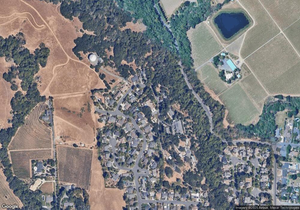
Map
Nearby Homes
- 3051 Redwood Rd
- 1152 Stanford Ct
- 1100 Borrette Ln
- 1070 Borrette Ln
- 1080 Borrette Ln
- 18 Tuscany Ct
- Homesite Four Plan at Western Meadows
- Homesite Eight Plan at Western Meadows
- Homesite Six Plan at Western Meadows
- Homesite Three Plan at Western Meadows
- Homesite Two Plan at Western Meadows
- 1060 Borrette Ln
- 1015 Borrette Ct
- 1070 Borrette Ct
- 115 Waterstone Ct
- 1015 Borrette Ln
- 2890 Redwood Rd
- 3493 Westminster Way
- 236 Skylark Way
- 17 Pomo Ct
- 1166 Broadmoor Dr
- 1162 Broadmoor Dr
- 1168 Broadmoor Dr
- 3688 Montana Dr
- 3692 Montana Dr
- 1158 Broadmoor Dr
- 3111 Redwood Rd
- 3696 Montana Dr
- 1154 Broadmoor Dr
- 1163 Broadmoor Dr
- 1159 Broadmoor Dr
- 3129 Redwood Rd
- 3685 Montana Dr
- 3689 Montana Dr
- 3695 Montana Dr
- 1150 Broadmoor Dr
- 1151 Broadmoor Dr
- 1176 Stanford Ct
- 1172 Broadmoor Dr