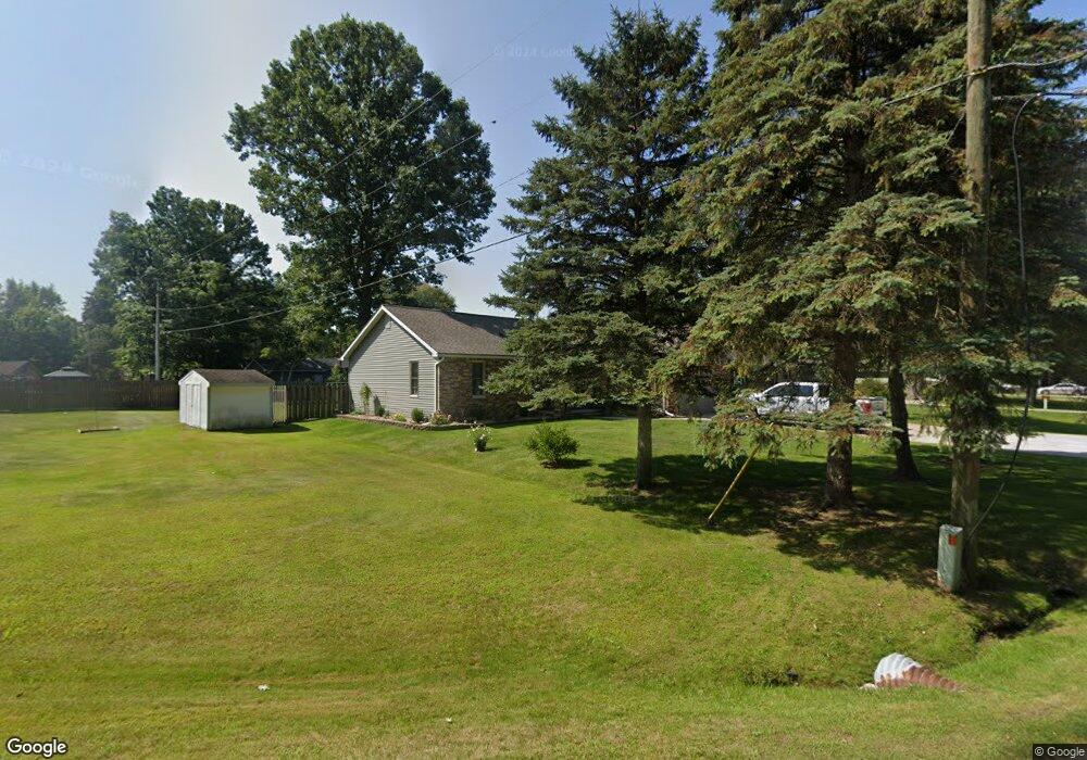
3117 Westhaven Dr Port Huron, MI 48060
Estimated Value: $267,962 - $368,000
3
Beds
3
Baths
1,670
Sq Ft
$182/Sq Ft
Est. Value
About This Home
This home is located at 3117 Westhaven Dr, Port Huron, MI 48060 and is currently estimated at $304,491, approximately $182 per square foot. 3117 Westhaven Dr is a home located in St. Clair County with nearby schools including Michigamme Elementary School, Central Middle School, and Port Huron High School.
Ownership History
Date
Name
Owned For
Owner Type
Purchase Details
Closed on
Apr 23, 2009
Sold by
Allen Greg R and Allen Angela M
Bought by
Bailey Anthony and Bailey Dawn
Current Estimated Value
Home Financials for this Owner
Home Financials are based on the most recent Mortgage that was taken out on this home.
Original Mortgage
$114,379
Interest Rate
3.87%
Mortgage Type
FHA
Create a Home Valuation Report for This Property
The Home Valuation Report is an in-depth analysis detailing your home's value as well as a comparison with similar homes in the area
Home Values in the Area
Average Home Value in this Area
Purchase History
| Date | Buyer | Sale Price | Title Company |
|---|---|---|---|
| Bailey Anthony | $130,000 | Metropolitan Title Company |
Source: Public Records
Mortgage History
| Date | Status | Borrower | Loan Amount |
|---|---|---|---|
| Previous Owner | Bailey Anthony | $114,379 |
Source: Public Records
Tax History Compared to Growth
Tax History
| Year | Tax Paid | Tax Assessment Tax Assessment Total Assessment is a certain percentage of the fair market value that is determined by local assessors to be the total taxable value of land and additions on the property. | Land | Improvement |
|---|---|---|---|---|
| 2025 | $2,745 | $112,800 | $0 | $0 |
| 2024 | $1,444 | $116,100 | $0 | $0 |
| 2023 | $1,333 | $97,500 | $0 | $0 |
| 2022 | $2,463 | $85,400 | $0 | $0 |
| 2021 | $2,254 | $79,300 | $0 | $0 |
| 2020 | $2,254 | $79,000 | $0 | $79,000 |
| 2019 | $2,212 | $63,600 | $0 | $0 |
| 2018 | $2,161 | $63,600 | $0 | $0 |
| 2017 | $2,112 | $67,800 | $0 | $0 |
| 2016 | $1,094 | $67,800 | $0 | $0 |
| 2015 | -- | $63,300 | $35,600 | $27,700 |
| 2014 | -- | $61,600 | $61,600 | $0 |
| 2013 | -- | $60,700 | $0 | $0 |
Source: Public Records
Map
Nearby Homes
- 0000 W Water St
- 3152 Spruce Dr
- 3345 Beach Rd
- 3115 Spruce Dr
- 2940 Westland Dr
- 2863 Beach Rd
- 4224 Atkins Rd
- 3408 N Burwick Dr
- 3409 Ancient Dr
- 3335 W Water St
- 00 Parker Rd
- 2650 Alger Rd
- 3971 N River Rd
- 4361 Peck Rd
- 3228 Turnberry
- 3230 Range Rd
- 3993 N River Rd
- 2475 Sharon Ln
- 3560 Milton Rd
- 4608 Huntington Dr
- 3121 Westhaven Dr
- 3125 Westhaven Dr
- 4010 Elaine Ave
- 3144 Westhaven Dr
- 3105 Westhaven Dr
- 4022 Elaine Ave
- 3134 Westhaven Dr
- 3124 Westhaven Dr
- 3150 Westhaven Dr
- 3110 Westhaven Dr
- 4036 Elaine Ave
- 3129 Westhaven Dr
- 4015 Elaine Ave
- 4035 Aletha Ln
- 4009 Elaine Ave
- 3095 Westhaven Dr
- 4033 Elaine Ave
- 3133 Westhaven Dr
- 4013 Aletha Ln
- 3119 Westcott Dr