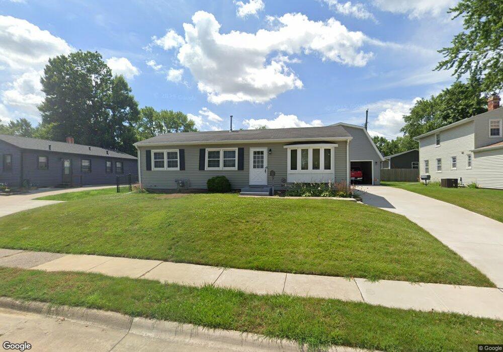
3119 Grove St Davenport, IA 52804
Northwest Davenport NeighborhoodEstimated Value: $186,000 - $220,735
2
Beds
2
Baths
1,152
Sq Ft
$174/Sq Ft
Est. Value
About This Home
This home is located at 3119 Grove St, Davenport, IA 52804 and is currently estimated at $200,434, approximately $173 per square foot. 3119 Grove St is a home located in Scott County with nearby schools including South Christian Elementary School, Wilson Elementary School, and Christian County Day Treatment Center Alt.
Ownership History
Date
Name
Owned For
Owner Type
Purchase Details
Closed on
Nov 5, 2024
Sold by
Lamer Michael D and Lamer Rosemary A
Bought by
Lamer Michael D and Lamer Rosemary A
Current Estimated Value
Purchase Details
Closed on
Sep 10, 2020
Sold by
Estate Of Maxine E Lamer
Bought by
Lamer Michael D
Create a Home Valuation Report for This Property
The Home Valuation Report is an in-depth analysis detailing your home's value as well as a comparison with similar homes in the area
Home Values in the Area
Average Home Value in this Area
Purchase History
| Date | Buyer | Sale Price | Title Company |
|---|---|---|---|
| Lamer Michael D | -- | None Listed On Document | |
| Lamer Michael D | -- | None Available |
Source: Public Records
Tax History Compared to Growth
Tax History
| Year | Tax Paid | Tax Assessment Tax Assessment Total Assessment is a certain percentage of the fair market value that is determined by local assessors to be the total taxable value of land and additions on the property. | Land | Improvement |
|---|---|---|---|---|
| 2025 | $3,480 | $216,660 | $30,030 | $186,630 |
| 2024 | $3,352 | $194,700 | $30,030 | $164,670 |
| 2023 | $2,888 | $192,200 | $30,030 | $162,170 |
| 2022 | $2,796 | $135,200 | $22,880 | $112,320 |
| 2021 | $2,796 | $130,250 | $22,880 | $107,370 |
| 2020 | $2,526 | $128,410 | $22,880 | $105,530 |
| 2019 | $2,410 | $119,230 | $22,880 | $96,350 |
| 2018 | $2,254 | $119,230 | $22,880 | $96,350 |
| 2017 | $619 | $114,650 | $22,880 | $91,770 |
| 2016 | $2,248 | $114,650 | $0 | $0 |
| 2015 | $2,248 | $113,220 | $0 | $0 |
| 2014 | $2,248 | $113,220 | $0 | $0 |
| 2013 | $2,202 | $0 | $0 | $0 |
| 2012 | -- | $101,700 | $25,220 | $76,480 |
Source: Public Records
Map
Nearby Homes
- 2926 W Lombard St
- 3430 W Locust St
- 1925 N Michigan Ave
- 3238 W Colorado St
- 2409 N Michigan Ave
- 2232 N Nevada Ave
- 2757 W Central Park Ave
- 0 W Locust St Unit Utah
- 0 W Locust St Unit 23235762
- 0 W Locust St Unit NOC6326699
- 2417 W 18th St
- 3234 Heatherton Dr Unit 6
- 3240 Heatherton Dr
- 1215 Waverly Rd
- 1922 N Pine St
- 1230 N Elmwood Ave
- 2449 W 13th St
- 2223 W Lombard St
- 3518 W Garfield St
- 3524 W Garfield St
- 3115 Grove St
- 2029 N Clark St
- 3105 Grove St
- 3110 W Laurel St
- 3120 Grove St
- 2015 N Clark St
- 3114 Grove St
- 2041 N Clark St
- 3104 W Laurel St
- 3029 Grove St
- 3106 Grove St
- 3032 W Laurel St
- 3030 Grove St
- 3119 W High St
- 3023 Grove St
- 3115 W High St
- 3026 W Laurel St
- 2055 N Clark St
- 3111 W Laurel St
- 1943 N Clark St