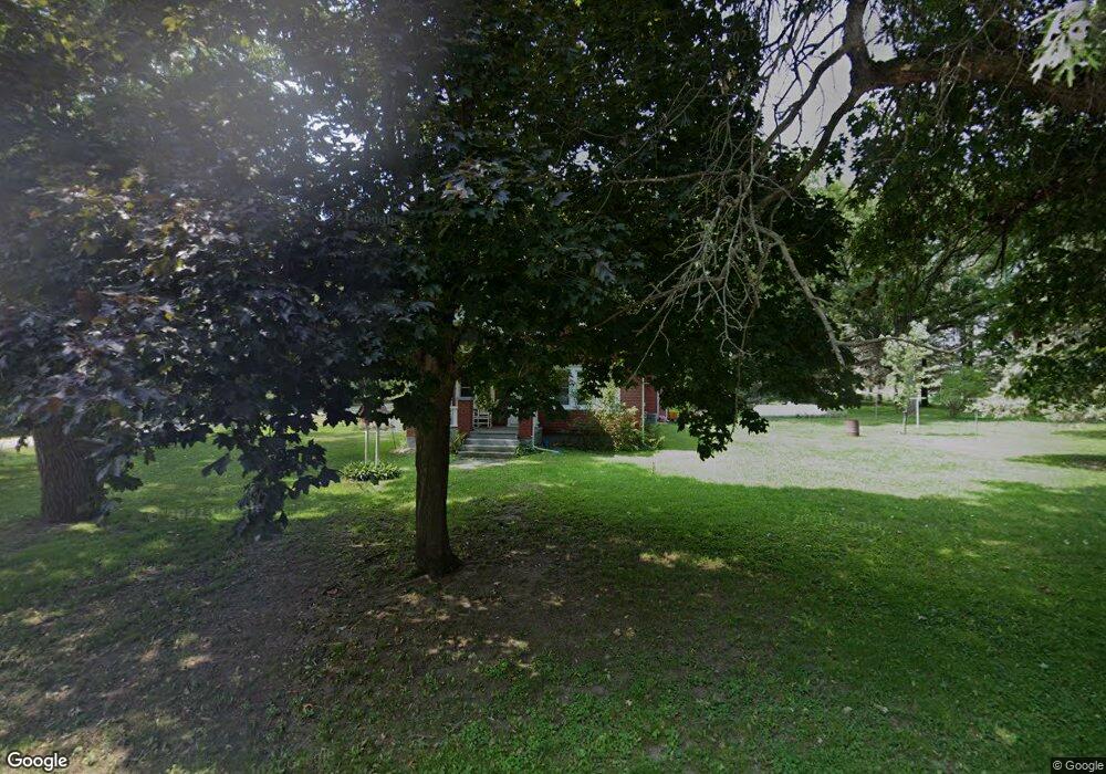
312 5th St Mc Intire, IA 50455
Estimated Value: $77,000 - $177,000
2
Beds
2
Baths
1,060
Sq Ft
$108/Sq Ft
Est. Value
About This Home
This home is located at 312 5th St, Mc Intire, IA 50455 and is currently estimated at $114,931, approximately $108 per square foot. 312 5th St is a home located in Mitchell County with nearby schools including Riceville Elementary School, Riceville High School, and Wild Rose Christian School.
Ownership History
Date
Name
Owned For
Owner Type
Purchase Details
Closed on
Sep 23, 2024
Sold by
Jennison Samuel J
Bought by
Borntreger Joe C
Current Estimated Value
Home Financials for this Owner
Home Financials are based on the most recent Mortgage that was taken out on this home.
Original Mortgage
$50,000
Outstanding Balance
$49,425
Interest Rate
6.35%
Mortgage Type
New Conventional
Estimated Equity
$65,506
Purchase Details
Closed on
Mar 20, 2007
Sold by
Sweeney Lawrence D and Sweeney Mary Ann
Bought by
Jennison Samuel J and Jennison Beverly A
Create a Home Valuation Report for This Property
The Home Valuation Report is an in-depth analysis detailing your home's value as well as a comparison with similar homes in the area
Purchase History
| Date | Buyer | Sale Price | Title Company |
|---|---|---|---|
| Borntreger Joe C | $65,000 | None Listed On Document | |
| Jennison Samuel J | $47,500 | None Available |
Source: Public Records
Mortgage History
| Date | Status | Borrower | Loan Amount |
|---|---|---|---|
| Open | Borntreger Joe C | $50,000 |
Source: Public Records
Tax History
| Year | Tax Paid | Tax Assessment Tax Assessment Total Assessment is a certain percentage of the fair market value that is determined by local assessors to be the total taxable value of land and additions on the property. | Land | Improvement |
|---|---|---|---|---|
| 2025 | $904 | $79,690 | $3,500 | $76,190 |
| 2024 | $904 | $74,320 | $3,500 | $70,820 |
| 2023 | $668 | $74,320 | $3,500 | $70,820 |
| 2022 | $656 | $56,350 | $3,500 | $52,850 |
| 2021 | $656 | $56,350 | $3,500 | $52,850 |
| 2020 | $458 | $46,100 | $3,500 | $42,600 |
Source: Public Records
Map
Nearby Homes
Your Personal Tour Guide
Ask me questions while you tour the home.