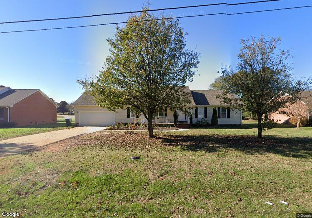
312 Ashmore Bridge Rd Mauldin, SC 29662
Estimated Value: $246,000 - $288,000
3
Beds
2
Baths
1,539
Sq Ft
$173/Sq Ft
Est. Value
About This Home
This home is located at 312 Ashmore Bridge Rd, Mauldin, SC 29662 and is currently estimated at $266,017, approximately $172 per square foot. 312 Ashmore Bridge Rd is a home located in Greenville County with nearby schools including Greenbrier Elementary School, Hillcrest Middle School, and Mauldin High School.
Ownership History
Date
Name
Owned For
Owner Type
Purchase Details
Closed on
Jun 30, 2005
Sold by
Secretary Of Veterans Affairs
Bought by
Carolina Gohering Lizbeth
Current Estimated Value
Home Financials for this Owner
Home Financials are based on the most recent Mortgage that was taken out on this home.
Original Mortgage
$98,000
Outstanding Balance
$49,517
Interest Rate
5.66%
Mortgage Type
New Conventional
Estimated Equity
$216,500
Purchase Details
Closed on
Aug 2, 2004
Sold by
Meurer David S
Bought by
Secretary Of Veterans Affairs
Purchase Details
Closed on
Jul 9, 2004
Sold by
Meurer David S
Bought by
Secretary Of Veterans Affairs
Create a Home Valuation Report for This Property
The Home Valuation Report is an in-depth analysis detailing your home's value as well as a comparison with similar homes in the area
Home Values in the Area
Average Home Value in this Area
Purchase History
| Date | Buyer | Sale Price | Title Company |
|---|---|---|---|
| Carolina Gohering Lizbeth | $98,000 | -- | |
| Secretary Of Veterans Affairs | $500 | -- | |
| Secretary Of Veterans Affairs | $500 | -- |
Source: Public Records
Mortgage History
| Date | Status | Borrower | Loan Amount |
|---|---|---|---|
| Open | Secretary Of Veterans Affairs | $98,000 |
Source: Public Records
Tax History
| Year | Tax Paid | Tax Assessment Tax Assessment Total Assessment is a certain percentage of the fair market value that is determined by local assessors to be the total taxable value of land and additions on the property. | Land | Improvement |
|---|---|---|---|---|
| 2025 | $1,133 | $6,810 | $2,040 | $4,770 |
| 2024 | $1,133 | $5,920 | $870 | $5,050 |
| 2023 | $1,086 | $5,920 | $870 | $5,050 |
| 2022 | $1,023 | $5,920 | $870 | $5,050 |
| 2021 | $1,024 | $5,920 | $870 | $5,050 |
| 2020 | $948 | $5,150 | $900 | $4,250 |
| 2019 | $948 | $5,150 | $900 | $4,250 |
| 2018 | $946 | $5,150 | $900 | $4,250 |
| 2017 | $946 | $5,150 | $900 | $4,250 |
| 2016 | $907 | $128,780 | $22,500 | $106,280 |
| 2015 | $907 | $128,780 | $22,500 | $106,280 |
| 2014 | $961 | $137,500 | $19,000 | $118,500 |
Source: Public Records
Map
Nearby Homes
- 4 Old Hastings Ct
- 111 Golden Crest Ct
- 207 Nantallah Trail
- 104 Fawn Ridge Way
- 2 Knollvine Cove
- 8 Chelseabrook Ct
- 9 Colombard Ct
- 413 Twist Cir
- 515 Fagin Cir
- 66 Sikes Cir
- 26 Sikes Cir
- 14 Croftstone Ct
- 305 Crestwood Dr
- 407 Fielder Way
- 120 Cambie Place
- 416 Fielder Way
- 712 Brooks Rd
- 412 Fielder Way
- 147 Trailside Ln
- 123 Trailside Ln
- 100 Amberwood Ln
- 310 Ashmore Bridge Rd
- 102 Amberwood Ln
- 308 Ashmore Bridge Rd
- 208 Edmondston Ct
- 7 Whitestone Ct
- 5 Whitestone Ct
- 207 Edmondston Ct
- 316 Ashmore Bridge Rd
- 104 Amberwood Ln
- 206 Edmondston Ct
- 103 Amberwood Ln
- 306 Ashmore Bridge Rd
- 331 Ashmore Bridge Rd
- 205 Edmondston Ct
- 3 Whitestone Ct
- 2 Adams Manor Ct
- 8 Whitestone Ct
- 2 Adams Manor Ct
- 204 Edmondston Ct
Your Personal Tour Guide
Ask me questions while you tour the home.