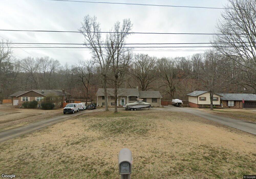
312 Brookside Dr Killen, AL 35645
Estimated Value: $198,000 - $249,000
Studio
1
Bath
1,161
Sq Ft
$200/Sq Ft
Est. Value
About This Home
This home is located at 312 Brookside Dr, Killen, AL 35645 and is currently estimated at $232,154, approximately $199 per square foot. 312 Brookside Dr is a home located in Lauderdale County with nearby schools including Brooks Elementary School and Underwood Elementary School.
Ownership History
Date
Name
Owned For
Owner Type
Purchase Details
Closed on
Jan 25, 2019
Sold by
Price Linda Rook and Price Sean Andrew
Bought by
Price Sean Andrew and Price Brittani Whitman
Current Estimated Value
Purchase Details
Closed on
Oct 24, 2014
Sold by
Price Linda Rook
Bought by
Price Linda Rook and Price Sean Andrew
Purchase Details
Closed on
Dec 22, 2010
Sold by
Rook Delores
Bought by
Price Linda
Purchase Details
Closed on
Jul 1, 2010
Sold by
M And K Properties Llc
Bought by
Cole Tammy
Home Financials for this Owner
Home Financials are based on the most recent Mortgage that was taken out on this home.
Original Mortgage
$69,700
Interest Rate
4.77%
Purchase Details
Closed on
Jul 27, 2007
Sold by
Hamm Michael J and Hamm Brooke A
Bought by
Richardson Corey D and Richardson Lauren R
Create a Home Valuation Report for This Property
The Home Valuation Report is an in-depth analysis detailing your home's value as well as a comparison with similar homes in the area
Home Values in the Area
Average Home Value in this Area
Purchase History
| Date | Buyer | Sale Price | Title Company |
|---|---|---|---|
| Price Sean Andrew | -- | None Available | |
| Price Linda Rook | $91,800 | -- | |
| Price Linda | -- | -- | |
| Cole Tammy | -- | -- | |
| Richardson Corey D | -- | -- |
Source: Public Records
Mortgage History
| Date | Status | Borrower | Loan Amount |
|---|---|---|---|
| Previous Owner | Cole Tammy | $69,700 |
Source: Public Records
Tax History
| Year | Tax Paid | Tax Assessment Tax Assessment Total Assessment is a certain percentage of the fair market value that is determined by local assessors to be the total taxable value of land and additions on the property. | Land | Improvement |
|---|---|---|---|---|
| 2025 | $973 | $23,920 | $0 | $0 |
| 2024 | $973 | $22,360 | $4,760 | $17,600 |
| 2023 | $909 | $4,760 | $4,760 | $0 |
| 2022 | $749 | $18,460 | $0 | $0 |
| 2021 | $671 | $16,560 | $0 | $0 |
| 2020 | $815 | $20,060 | $0 | $0 |
| 2019 | $815 | $20,060 | $0 | $0 |
| 2018 | $758 | $18,660 | $0 | $0 |
| 2017 | $758 | $18,660 | $0 | $0 |
| 2016 | $719 | $17,720 | $0 | $0 |
| 2015 | $671 | $16,540 | $0 | $0 |
| 2014 | $746 | $18,380 | $0 | $0 |
Source: Public Records
Map
Nearby Homes
- 1008 Brookhill Dr
- 538 Heron Cove Rd
- 0 Heron CV Rd Unit 525440
- 58 Cole Creek Cove
- 233 Brookside Dr
- 88 Cole Creek Cove
- 132 Cole Creek Cove
- 964 Joan Ln
- 318 Shaler Dr
- 0 County Road 465
- 55 Spinnaker Ln
- 145 Harbor Close
- 135 Harbor Close
- 300 Beech Dr
- 00 Highway 72
- 20 Harbor Close
- 645 Turtle Cove
- 855 Turtle Cove Rd
- 0 Locke Six Rd Unit LOT 18 516792
- 000 Locke Six Rd Unit Lot 80
- 308 Brookside Dr
- 316 Brookside Dr
- 304 Brookside Dr Unit 1
- 324 Brookside Dr
- 305 Brookside Dr
- 311 Brookside Dr
- 00 Brookside Dr
- 000 Brookside Dr
- 0 Brookside Dr
- 322 Brookside Dr
- 317 Brookside Dr
- 328 Brookside Dr
- 252 Brookside Dr
- 332 Brookside Dr
- 240 Chasebrook Dr
- 244 Chasebrook Dr
- 244 Brookside Dr
- 325 Brookside Dr
- 255 Brookside Dr
- 232 Chasebrook Dr
Your Personal Tour Guide
Ask me questions while you tour the home.