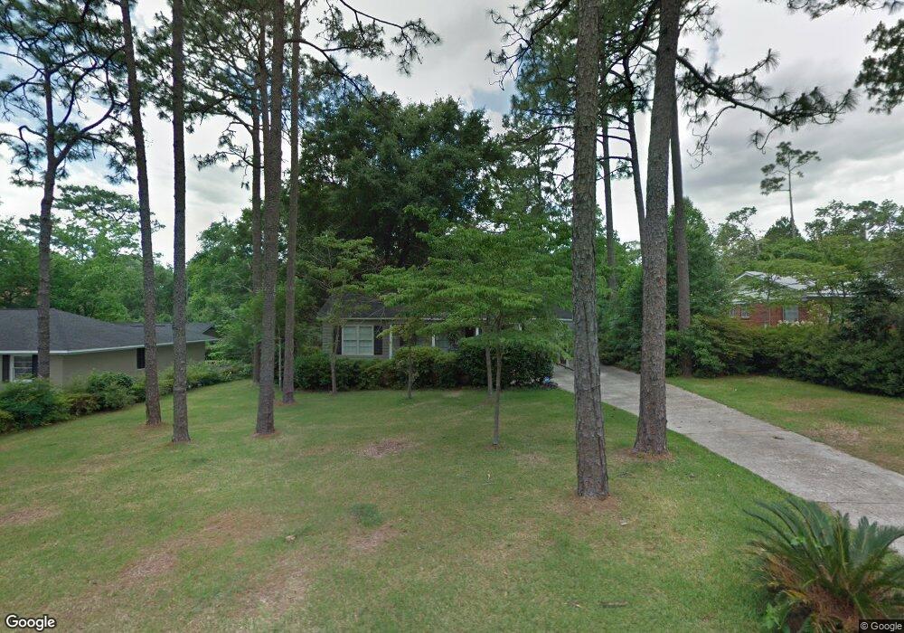
312 Byron Ave E Mobile, AL 36609
Jackson Heights NeighborhoodEstimated Value: $121,000 - $169,000
3
Beds
1
Bath
1,064
Sq Ft
$143/Sq Ft
Est. Value
About This Home
This home is located at 312 Byron Ave E, Mobile, AL 36609 and is currently estimated at $152,472, approximately $143 per square foot. 312 Byron Ave E is a home located in Mobile County with nearby schools including Elizabeth Fonde Elementary School, Chastang-Fournier K-8 School, and WP Davidson High School.
Ownership History
Date
Name
Owned For
Owner Type
Purchase Details
Closed on
Jul 26, 2002
Sold by
Davis Allen H and Swanner Carolyn D
Bought by
Davis Debra
Current Estimated Value
Home Financials for this Owner
Home Financials are based on the most recent Mortgage that was taken out on this home.
Original Mortgage
$41,292
Outstanding Balance
$17,117
Interest Rate
6.67%
Mortgage Type
Seller Take Back
Estimated Equity
$135,355
Create a Home Valuation Report for This Property
The Home Valuation Report is an in-depth analysis detailing your home's value as well as a comparison with similar homes in the area
Home Values in the Area
Average Home Value in this Area
Purchase History
| Date | Buyer | Sale Price | Title Company |
|---|---|---|---|
| Davis Debra | $41,292 | -- |
Source: Public Records
Mortgage History
| Date | Status | Borrower | Loan Amount |
|---|---|---|---|
| Open | Davis Debra | $41,292 |
Source: Public Records
Tax History
| Year | Tax Paid | Tax Assessment Tax Assessment Total Assessment is a certain percentage of the fair market value that is determined by local assessors to be the total taxable value of land and additions on the property. | Land | Improvement |
|---|---|---|---|---|
| 2025 | $699 | $11,880 | $3,500 | $8,380 |
| 2024 | $699 | $11,140 | $3,500 | $7,640 |
| 2023 | $631 | $10,840 | $3,500 | $7,340 |
| 2022 | $583 | $10,240 | $3,500 | $6,740 |
| 2021 | $549 | $9,690 | $3,500 | $6,190 |
| 2020 | $550 | $9,700 | $3,500 | $6,200 |
| 2019 | $530 | $9,400 | $0 | $0 |
| 2018 | $527 | $9,360 | $0 | $0 |
| 2017 | $563 | $9,920 | $0 | $0 |
| 2016 | $579 | $10,180 | $0 | $0 |
| 2013 | -- | $10,300 | $0 | $0 |
Source: Public Records
Map
Nearby Homes
- 4604 Oak Ridge Rd
- 409 Byron Ave E
- 251 Larkspur St
- 308 Mcqueen Ave
- 1013 Regal Dr
- 0 Winnie Way
- 254 Jackson Blvd
- 306 Thornton Place
- 0 Bellevue Ln
- 728 Spring Station Rd
- 4131 Springdale Rd
- 5708 Shain St
- 421 Mcqueen Ave
- 4153 Yorkshire Ln
- 4590 Sunset Dr N
- 4115 Springdale Rd
- 167 Bit And Spur Terrace
- 1050 Westbury Dr
- 4108 Woodsbury Ct
- 5770 Chester Ct
- 316 Byron Ave E
- 308 Byron Ave E
- 313 Byron Ave W
- 304 Byron Ave E
- 350 Byron Ave E
- 317 Byron Ave W
- 313 Byron Ave E
- 351 Byron Ave W
- 305 Byron Ave W
- 309 Byron Ave E
- 4312 Michael Blvd
- 4351 Byron Ave N
- 305 Byron Ave E
- 355 Byron Ave W
- 301 Byron Ave W
- 4309 Michael Blvd
- 358 Byron Ave E
- 312 Byron Ave W
- 301 Byron Ave E
- 316 Byron Ave W
Your Personal Tour Guide
Ask me questions while you tour the home.