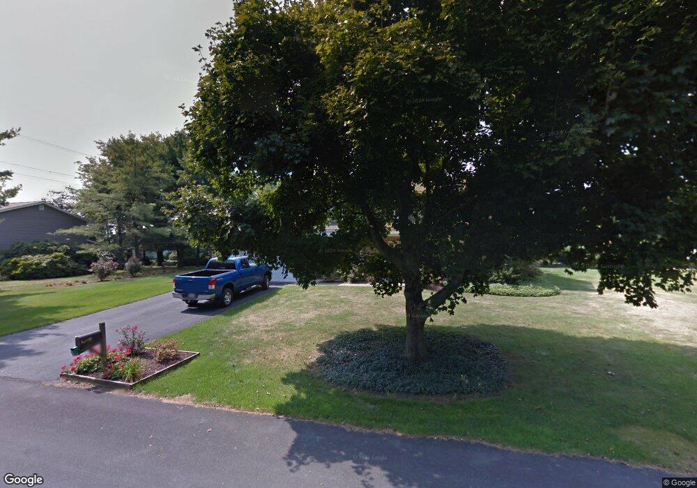
312 Cressman Dr Allentown, PA 18104
Upper Macungie Township NeighborhoodEstimated Value: $505,663 - $586,000
4
Beds
3
Baths
2,306
Sq Ft
$233/Sq Ft
Est. Value
About This Home
This home is located at 312 Cressman Dr, Allentown, PA 18104 and is currently estimated at $536,916, approximately $232 per square foot. 312 Cressman Dr is a home located in Lehigh County with nearby schools including Cetronia Elementary School, Springhouse Middle School, and Parkland High School.
Ownership History
Date
Name
Owned For
Owner Type
Purchase Details
Closed on
Dec 20, 2018
Sold by
Rode Mark A and Rode Valerie
Bought by
Rode Valerie
Current Estimated Value
Home Financials for this Owner
Home Financials are based on the most recent Mortgage that was taken out on this home.
Original Mortgage
$175,000
Outstanding Balance
$154,179
Interest Rate
4.8%
Mortgage Type
New Conventional
Estimated Equity
$382,737
Purchase Details
Closed on
Apr 16, 2007
Sold by
Machik Kenneth C
Bought by
Rode Mark A
Home Financials for this Owner
Home Financials are based on the most recent Mortgage that was taken out on this home.
Original Mortgage
$259,200
Interest Rate
6.19%
Mortgage Type
New Conventional
Purchase Details
Closed on
Oct 26, 1979
Bought by
Machik Kenneth C and Machik Susan J
Create a Home Valuation Report for This Property
The Home Valuation Report is an in-depth analysis detailing your home's value as well as a comparison with similar homes in the area
Home Values in the Area
Average Home Value in this Area
Purchase History
| Date | Buyer | Sale Price | Title Company |
|---|---|---|---|
| Rode Valerie | -- | None Available | |
| Rode Mark A | $324,000 | -- | |
| Machik Kenneth C | $88,000 | -- |
Source: Public Records
Mortgage History
| Date | Status | Borrower | Loan Amount |
|---|---|---|---|
| Open | Rode Valerie | $175,000 | |
| Closed | Rode Mark A | $259,200 |
Source: Public Records
Tax History Compared to Growth
Tax History
| Year | Tax Paid | Tax Assessment Tax Assessment Total Assessment is a certain percentage of the fair market value that is determined by local assessors to be the total taxable value of land and additions on the property. | Land | Improvement |
|---|---|---|---|---|
| 2025 | $5,568 | $257,300 | $50,800 | $206,500 |
| 2024 | $5,357 | $257,300 | $50,800 | $206,500 |
| 2023 | $5,228 | $257,300 | $50,800 | $206,500 |
| 2022 | $5,205 | $257,300 | $206,500 | $50,800 |
| 2021 | $5,205 | $257,300 | $50,800 | $206,500 |
| 2020 | $5,205 | $257,300 | $50,800 | $206,500 |
| 2019 | $5,095 | $257,300 | $50,800 | $206,500 |
| 2018 | $4,994 | $257,300 | $50,800 | $206,500 |
| 2017 | $4,922 | $257,300 | $50,800 | $206,500 |
| 2016 | -- | $257,300 | $50,800 | $206,500 |
| 2015 | -- | $257,300 | $50,800 | $206,500 |
| 2014 | -- | $257,300 | $50,800 | $206,500 |
Source: Public Records
Map
Nearby Homes
- 319 Hopewell Dr
- 5821 Daniel St
- 165 Robert Dr
- 5926 Holiday Dr
- 6139 Palomino Dr
- 5530 Holiday Dr
- 172 Wyndham Dr
- 441 Sawgrass Dr
- 2021 Hickory Ln
- 5137 Schantz Rd Unit The Kennedy
- 5137 Schantz Rd Unit The Jackson
- 5137 Schantz Rd Unit The Madison
- 5137 Schantz Rd Unit The Jefferson
- 5137 Schantz Rd Unit The Roosevelt
- 5137 Schantz Rd Unit The Monroe
- The Monroe Plan at The Reserve at Surrey Court
- The Roosevelt - Front Entry Plan at The Reserve at Surrey Court
- The Jefferson - Front Entry Plan at The Reserve at Surrey Court
- The Jackson - Front Entry Plan at The Reserve at Surrey Court
- The Madison Plan at The Reserve at Surrey Court
- 311 Lone Ln
- 316 Cressman Dr
- 311 Cressman Dr
- 6145 Fugazzotto Dr
- 315 Lone Ln
- 315 Cressman Dr
- 6149 Fugazzotto Dr
- 6141 Fugazzotto Dr
- 6138 Fugazzotto Dr
- 320 Cressman Dr
- 271 Hopewell Dr
- 239 Lone Ln
- 319 Lone Ln
- 279 Hopewell Dr
- 6137 Fugazzotto Dr
- 262 Lone Ln
- 316 Burrell Blvd
- 287 Hopewell Dr
- 6134 Fugazzotto Dr
- 323 Cressman Dr