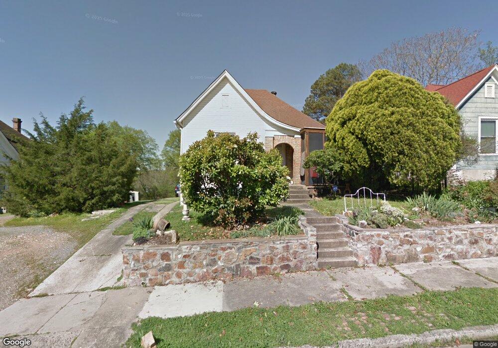
312 Dennison St Little Rock, AR 72205
Hillcrest NeighborhoodEstimated Value: $171,444 - $232,000
--
Bed
2
Baths
1,244
Sq Ft
$157/Sq Ft
Est. Value
About This Home
This home is located at 312 Dennison St, Little Rock, AR 72205 and is currently estimated at $195,611, approximately $157 per square foot. 312 Dennison St is a home located in Pulaski County with nearby schools including M.L. King Elementary School, Dunbar Magnet Middle School, and Central High School.
Ownership History
Date
Name
Owned For
Owner Type
Purchase Details
Closed on
Dec 9, 2002
Sold by
Heard Paul Duane
Bought by
Koch Stephen
Current Estimated Value
Home Financials for this Owner
Home Financials are based on the most recent Mortgage that was taken out on this home.
Original Mortgage
$35,625
Interest Rate
5.48%
Mortgage Type
Purchase Money Mortgage
Purchase Details
Closed on
Nov 11, 1998
Sold by
Young Juanita and Heard Pauline C
Bought by
Heard Paul Duane
Create a Home Valuation Report for This Property
The Home Valuation Report is an in-depth analysis detailing your home's value as well as a comparison with similar homes in the area
Home Values in the Area
Average Home Value in this Area
Purchase History
| Date | Buyer | Sale Price | Title Company |
|---|---|---|---|
| Koch Stephen | $38,333 | American Abstract & Title Co | |
| Heard Paul Duane | -- | -- |
Source: Public Records
Mortgage History
| Date | Status | Borrower | Loan Amount |
|---|---|---|---|
| Closed | Koch Stephen | $35,625 |
Source: Public Records
Tax History Compared to Growth
Tax History
| Year | Tax Paid | Tax Assessment Tax Assessment Total Assessment is a certain percentage of the fair market value that is determined by local assessors to be the total taxable value of land and additions on the property. | Land | Improvement |
|---|---|---|---|---|
| 2025 | $1,205 | $29,839 | $2,600 | $27,239 |
| 2024 | $1,060 | $29,839 | $2,600 | $27,239 |
| 2023 | $1,060 | $29,839 | $2,600 | $27,239 |
| 2022 | $1,012 | $29,839 | $2,600 | $27,239 |
| 2021 | $971 | $24,560 | $4,100 | $20,460 |
| 2020 | $550 | $24,560 | $4,100 | $20,460 |
| 2019 | $512 | $24,560 | $4,100 | $20,460 |
| 2018 | $498 | $24,560 | $4,100 | $20,460 |
| 2017 | $460 | $24,560 | $4,100 | $20,460 |
| 2016 | $771 | $21,860 | $4,200 | $17,660 |
| 2015 | $680 | $10,579 | $4,200 | $6,379 |
| 2014 | $680 | $9,699 | $4,200 | $5,499 |
Source: Public Records
Map
Nearby Homes
- 312 Barton St
- 216 Rice St
- 201 Dennison St
- 2717 W Capitol Ave
- 2020 W 3rd St
- 107 N Summit St
- 123 N Schiller St
- 127 N Schiller St
- 306 S Woodrow St
- 305 Booker St
- 400 S Booker St
- 121 N Woodrow St
- 301 N Woodrow St
- 2012 Riverview Dr
- 0 Rice St Unit 25014406
- 923 Booker St
- 1116 Kavanaugh Blvd
- 2416 W 13th St
- 111 Midland St
- 1109 Kavanaugh Blvd