312 Durham Point Rd Durham, NH 03824
Estimated Value: $876,000 - $1,242,000
2
Beds
2
Baths
2,654
Sq Ft
$381/Sq Ft
Est. Value
About This Home
This home is located at 312 Durham Point Rd, Durham, NH 03824 and is currently estimated at $1,011,097, approximately $380 per square foot. 312 Durham Point Rd is a home located in Strafford County with nearby schools including Mast Way School, Oyster River Middle School, and Oyster River High School.
Ownership History
Date
Name
Owned For
Owner Type
Purchase Details
Closed on
Jun 28, 1999
Sold by
Eldon Beatrice M
Bought by
Shamesman Scott L and Shamesman Anchalee
Current Estimated Value
Home Financials for this Owner
Home Financials are based on the most recent Mortgage that was taken out on this home.
Original Mortgage
$240,000
Outstanding Balance
$64,733
Interest Rate
7.09%
Mortgage Type
Purchase Money Mortgage
Estimated Equity
$946,364
Create a Home Valuation Report for This Property
The Home Valuation Report is an in-depth analysis detailing your home's value as well as a comparison with similar homes in the area
Home Values in the Area
Average Home Value in this Area
Purchase History
| Date | Buyer | Sale Price | Title Company |
|---|---|---|---|
| Shamesman Scott L | $315,500 | -- | |
| Shamesman Scott L | $315,500 | -- |
Source: Public Records
Mortgage History
| Date | Status | Borrower | Loan Amount |
|---|---|---|---|
| Open | Shamesman Scott L | $240,000 | |
| Closed | Shamesman Scott L | $240,000 |
Source: Public Records
Tax History Compared to Growth
Tax History
| Year | Tax Paid | Tax Assessment Tax Assessment Total Assessment is a certain percentage of the fair market value that is determined by local assessors to be the total taxable value of land and additions on the property. | Land | Improvement |
|---|---|---|---|---|
| 2024 | $12,397 | $609,773 | $171,273 | $438,500 |
| 2023 | $12,489 | $609,819 | $171,319 | $438,500 |
| 2022 | $10,990 | $378,448 | $115,648 | $262,800 |
| 2021 | $10,566 | $378,580 | $115,780 | $262,800 |
| 2020 | $10,497 | $378,551 | $115,751 | $262,800 |
| 2019 | $10,384 | $378,575 | $115,775 | $262,800 |
| 2018 | $10,145 | $378,557 | $115,757 | $262,800 |
| 2017 | $11,257 | $367,386 | $102,986 | $264,400 |
| 2016 | $10,922 | $367,364 | $102,964 | $264,400 |
| 2015 | $10,966 | $367,364 | $102,964 | $264,400 |
| 2014 | $11,212 | $367,364 | $102,964 | $264,400 |
| 2013 | $11,172 | $367,385 | $102,985 | $264,400 |
Source: Public Records
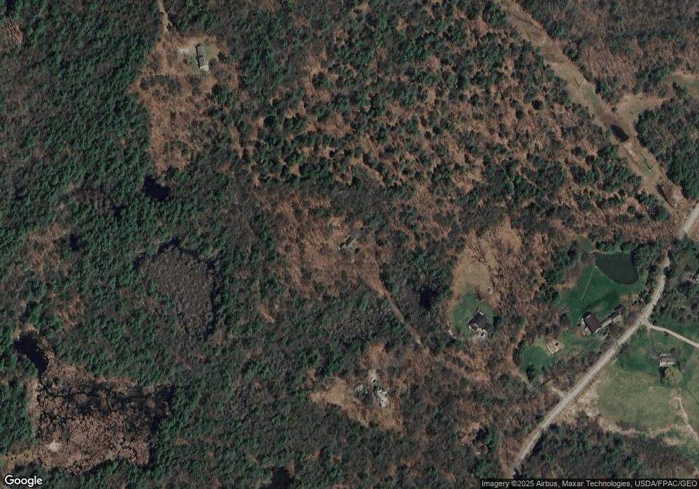
Map
Nearby Homes
- 263 Durham Point Rd
- 88 Durham Point Rd
- 30 Ffrost Dr
- 1 Riverview Ct
- 245 Piscataqua Rd
- 9 Young Dr
- 10 Young Dr
- 14 Young Dr
- 11 Young Dr
- 31 Faculty Rd
- 7 Beards Landing
- 41 Clearwater Dr
- SLIP 15 Little Bay Marina
- 32 Woodman Rd
- 18 Little Bay Dr
- 33 Little Bay Dr
- 3-7 Jenkins Ct
- 0 Cote Dr
- 27 Wentworth Terrace
- 71 Shipwright Way
- 314 Durham Point Rd
- 316 Durham Point Rd
- 206 Longmarsh Rd
- 310 Durham Point Rd
- 300 Durham Point Rd
- 210 Longmarsh Rd
- 305 Durham Point Rd
- 347 Dame Rd
- 289 Durham Point Rd
- 351 Dame Rd
- 291 Durham Point Rd
- 208 Longmarsh Rd
- 343 Dame Rd
- 220 Longmarsh Rd
- 342 Dame Rd
- 280 Durham Point Rd
- 277 Durham Point Rd
- 248 Durham Point Rd
- 228 Longmarsh Rd
- 270 Durham Point Rd