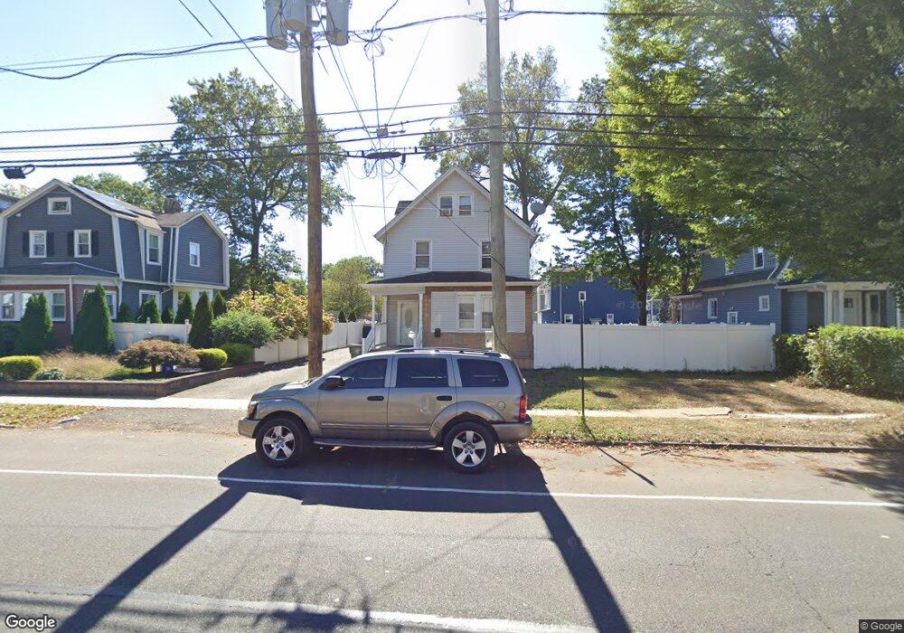
312 E 1st Ave Roselle, NJ 07203
Estimated Value: $500,510 - $584,000
4
Beds
3
Baths
8,398
Sq Ft
$64/Sq Ft
Est. Value
About This Home
This home is located at 312 E 1st Ave, Roselle, NJ 07203 and is currently estimated at $538,128, approximately $64 per square foot. 312 E 1st Ave is a home located in Union County with nearby schools including Harrison Elementary School, Leonard V. Moore Middle School, and Grace Wilday Junior High School.
Ownership History
Date
Name
Owned For
Owner Type
Purchase Details
Closed on
Nov 12, 2010
Sold by
Hooper Jacqueline and Perkins Marlene Hooper
Bought by
Peralte Wilfrid
Current Estimated Value
Home Financials for this Owner
Home Financials are based on the most recent Mortgage that was taken out on this home.
Original Mortgage
$154,913
Outstanding Balance
$102,105
Interest Rate
4.25%
Mortgage Type
FHA
Estimated Equity
$436,023
Create a Home Valuation Report for This Property
The Home Valuation Report is an in-depth analysis detailing your home's value as well as a comparison with similar homes in the area
Home Values in the Area
Average Home Value in this Area
Purchase History
| Date | Buyer | Sale Price | Title Company |
|---|---|---|---|
| Peralte Wilfrid | $157,000 | None Available |
Source: Public Records
Mortgage History
| Date | Status | Borrower | Loan Amount |
|---|---|---|---|
| Open | Peralte Wilfrid | $154,913 |
Source: Public Records
Tax History
| Year | Tax Paid | Tax Assessment Tax Assessment Total Assessment is a certain percentage of the fair market value that is determined by local assessors to be the total taxable value of land and additions on the property. | Land | Improvement |
|---|---|---|---|---|
| 2025 | $9,112 | $104,800 | $59,800 | $45,000 |
| 2024 | $8,884 | $104,800 | $59,800 | $45,000 |
| 2023 | $8,884 | $104,800 | $59,800 | $45,000 |
| 2022 | $8,946 | $104,800 | $59,800 | $45,000 |
| 2021 | $8,892 | $104,800 | $59,800 | $45,000 |
| 2020 | $8,864 | $104,800 | $59,800 | $45,000 |
| 2019 | $8,751 | $104,800 | $59,800 | $45,000 |
| 2018 | $8,703 | $104,800 | $59,800 | $45,000 |
| 2017 | $8,656 | $104,800 | $59,800 | $45,000 |
| 2016 | $8,466 | $104,800 | $59,800 | $45,000 |
| 2015 | $8,465 | $103,100 | $59,800 | $43,300 |
| 2014 | $8,095 | $103,100 | $59,800 | $43,300 |
Source: Public Records
Map
Nearby Homes
- 221 E Westfield Ave
- 255 E Westfield Ave
- 415 E 3rd Ave Unit 3
- 121 Myrtle St
- 220 Sherman Ave
- 424 E 4th Ave
- 308 Sherman Ave
- 540 E 3rd Ave
- 549 E 3rd Ave
- 164 E Clay Ave
- 310 Stockton Ave
- 502 Drake Ave
- 362 E Clay Ave
- 455 E Westfield Ave
- 247 E 7th Ave
- 114 E 5th Ave
- 133 W 3rd Ave
- 123 E 6th Ave
- 142 E 6th Ave
- 526 Spruce St
- 306 E 1st Ave
- 314 E 1st Ave
- 109 Poplar St
- 318 E 1st Ave Unit 2
- 318 E 1st Ave
- 113 Poplar St
- 307 E 1st Ave
- 117 Poplar St
- 114 Chandler Ave
- 320 E 1st Ave
- 118 Chandler Ave
- 110 Poplar St
- 122 Chandler Ave
- 112 Poplar St
- 116 Poplar St
- 116 Poplar St Unit 2
- 315 E 1st Ave
- 303 E 1st Ave
- 319 E 1st Ave Unit 3
- 319 E 1st Ave
Your Personal Tour Guide
Ask me questions while you tour the home.