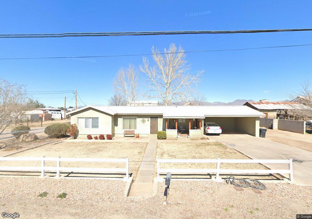
312 E 20th St Safford, AZ 85546
Estimated Value: $359,000 - $450,000
About This Home
This home is located at 312 E 20th St, Safford, AZ 85546 and is currently estimated at $392,056, approximately $119 per square foot. 312 E 20th St is a home located in Graham County with nearby schools including Dorothy Stinson School, Ruth Powell Elementary School, and Lafe Nelson School.
Ownership History
We collect this data history from publicly available records. To have your information removed, we recommend requesting removal directly through your county’s website.
Purchase Details
Home Financials for this Owner
Home Financials are based on the most recent Mortgage that was taken out on this home.Purchase Details
Home Financials for this Owner
Home Financials are based on the most recent Mortgage that was taken out on this home.Purchase History
We collect this data history from publicly available records. To have your information removed, we recommend requesting removal directly through your county’s website.
| Date | Buyer | Sale Price | Title Company |
|---|---|---|---|
| -- | Pioneer Title Agency I | ||
| $225,000 | Pioneer Title Agency | ||
| -- | None Available | ||
| -- | Safford Title Agency | ||
| $180,000 | Safford Title Agency |
Mortgage History
We collect this data history from publicly available records. To have your information removed, we recommend requesting removal directly through your county’s website.
| Date | Status | Borrower | Loan Amount |
|---|---|---|---|
| Open | $213,750 | ||
| Previous Owner | $171,000 |
Tax History
We collect this data history from publicly available records. To have your information removed, we recommend requesting removal directly through your county’s website.
| Year | Tax Paid | Tax Assessment Tax Assessment Total Assessment is a certain percentage of the fair market value that is determined by local assessors to be the total taxable value of land and additions on the property. | Land | Improvement |
|---|---|---|---|---|
| 2027 | $1,906 | -- | -- | -- |
| 2026 | $1,607 | -- | -- | -- |
| 2025 | $1,607 | $25,042 | $3,911 | $21,131 |
| 2024 | $1,654 | $24,078 | $3,911 | $20,167 |
| 2023 | $1,654 | $20,444 | $3,605 | $16,839 |
| 2022 | $1,603 | $18,396 | $3,605 | $14,791 |
| 2021 | $1,760 | $0 | $0 | $0 |
| 2020 | $1,693 | $0 | $0 | $0 |
| 2019 | $1,767 | $0 | $0 | $0 |
| 2018 | $1,668 | $0 | $0 | $0 |
| 2017 | $1,489 | $0 | $0 | $0 |
| 2016 | $1,372 | $0 | $0 | $0 |
| 2015 | $1,251 | $0 | $0 | $0 |
Map
- 1835 S 1st Ave
- 290 Cochise St
- 211 W 15th St
- 2358 S 1st Ave
- 1213 S 1st Ave
- 695 W 24th St
- 1808 S 8th Ave
- 1204 S Central Ave Unit A
- 1711 S Fargo Dr
- 2012 S 9th Ave
- 1104 S Central Ave
- 1227 S 7th Ave
- 1941 Mesa Cir
- 1017 S 5th Ave
- 1017 W Tucson St
- 1610 S Camilla Cir
- 1318 S Kuhni Ct
- 1207 W El Paso Blvd
- 1313 S 11th Ave
- 680 S 2nd Ave
Ask me questions while you tour the home.