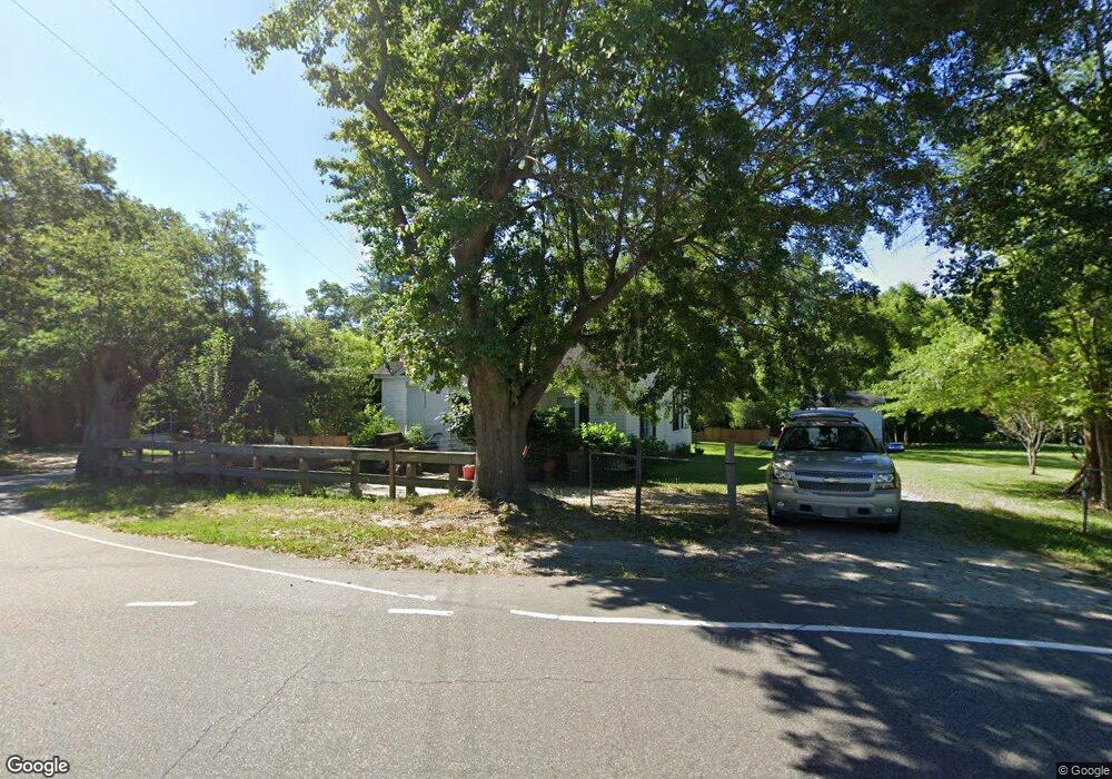
312 Hamer Rd Rockingham, NC 28379
Estimated Value: $82,187 - $109,000
--
Bed
--
Bath
964
Sq Ft
$101/Sq Ft
Est. Value
About This Home
This home is located at 312 Hamer Rd, Rockingham, NC 28379 and is currently estimated at $97,797, approximately $101 per square foot. 312 Hamer Rd is a home with nearby schools including West Rockingham Elementary School, Rockingham Middle School, and Ashley Chapel Educational Center.
Ownership History
Date
Name
Owned For
Owner Type
Purchase Details
Closed on
Jun 2, 2017
Sold by
Robson Rodney Lee and Robson Deana
Bought by
Oliver Roberto C and Oliver Dalia
Current Estimated Value
Home Financials for this Owner
Home Financials are based on the most recent Mortgage that was taken out on this home.
Original Mortgage
$51,000
Outstanding Balance
$42,363
Interest Rate
3.97%
Mortgage Type
New Conventional
Estimated Equity
$55,434
Purchase Details
Closed on
Sep 21, 2016
Sold by
Smith Richard Bruce and Smith Jane C
Bought by
Robson Rodney Lee
Create a Home Valuation Report for This Property
The Home Valuation Report is an in-depth analysis detailing your home's value as well as a comparison with similar homes in the area
Home Values in the Area
Average Home Value in this Area
Purchase History
| Date | Buyer | Sale Price | Title Company |
|---|---|---|---|
| Oliver Roberto C | $49,000 | None Available | |
| Robson Rodney Lee | $30,000 | None Available |
Source: Public Records
Mortgage History
| Date | Status | Borrower | Loan Amount |
|---|---|---|---|
| Open | Oliver Roberto C | $51,000 |
Source: Public Records
Tax History Compared to Growth
Tax History
| Year | Tax Paid | Tax Assessment Tax Assessment Total Assessment is a certain percentage of the fair market value that is determined by local assessors to be the total taxable value of land and additions on the property. | Land | Improvement |
|---|---|---|---|---|
| 2025 | $504 | $50,738 | $8,808 | $41,930 |
| 2024 | $514 | $50,738 | $8,808 | $41,930 |
| 2023 | $424 | $35,499 | $7,027 | $28,472 |
| 2022 | $424 | $35,519 | $7,047 | $28,472 |
| 2021 | $420 | $35,499 | $7,027 | $28,472 |
| 2020 | $416 | $35,499 | $7,027 | $28,472 |
| 2019 | $416 | $35,499 | $7,027 | $28,472 |
| 2018 | $416 | $35,499 | $7,027 | $28,472 |
| 2016 | $377 | $32,783 | $4,311 | $28,472 |
| 2014 | -- | $32,441 | $4,430 | $28,011 |
Source: Public Records
Map
Nearby Homes
- 35 Bunker St
- 828 Chatham Rd
- 723 Stanley Ave
- 120 Parker St
- 626 Anson Ave
- 755 Cumberland Cir
- 710 Scotland Ave
- 1206 Lancaster Ln
- 0 N Randolph St
- 1431 Cumberland Cir
- 1401 Carolina Dr
- 1418 Carolina Dr
- 405 Richmond Rd
- 1703 Pine St
- 321 Richmond Rd
- 1019 Fayetteville Rd
- 604 Fayetteville Rd
- 187 Cartledge Creek Rd
- 1201 Fayetteville Rd
- 107 Rockingham Rd