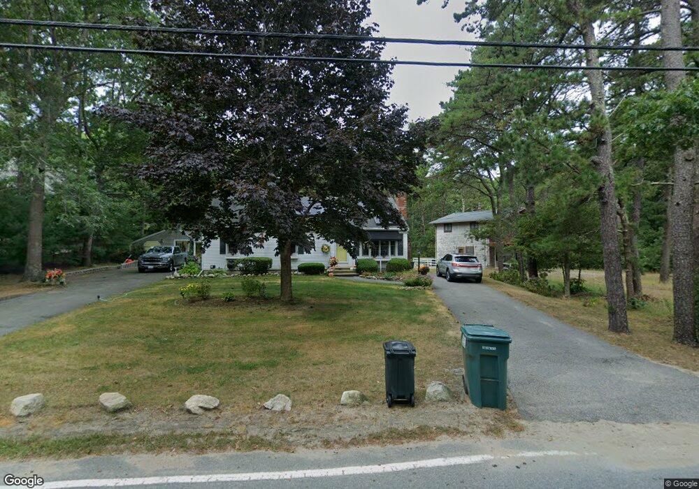
312 Hooppole Rd Mashpee, MA 02649
Estimated Value: $512,000 - $542,000
3
Beds
3
Baths
1,056
Sq Ft
$499/Sq Ft
Est. Value
About This Home
This home is located at 312 Hooppole Rd, Mashpee, MA 02649 and is currently estimated at $527,311, approximately $499 per square foot. 312 Hooppole Rd is a home located in Barnstable County with nearby schools including Kenneth C. Coombs School, Quashnet School, and Mashpee Middle School.
Ownership History
Date
Name
Owned For
Owner Type
Purchase Details
Closed on
Sep 1, 2021
Sold by
Odonnell Francis V and Odonnell Joan M
Bought by
312 Hooppole Road Rt
Current Estimated Value
Create a Home Valuation Report for This Property
The Home Valuation Report is an in-depth analysis detailing your home's value as well as a comparison with similar homes in the area
Purchase History
| Date | Buyer | Sale Price | Title Company |
|---|---|---|---|
| 312 Hooppole Road Rt | -- | None Available |
Source: Public Records
Tax History
| Year | Tax Paid | Tax Assessment Tax Assessment Total Assessment is a certain percentage of the fair market value that is determined by local assessors to be the total taxable value of land and additions on the property. | Land | Improvement |
|---|---|---|---|---|
| 2025 | $3,294 | $497,600 | $214,500 | $283,100 |
| 2024 | $2,958 | $460,100 | $195,000 | $265,100 |
| 2023 | $2,811 | $401,000 | $185,700 | $215,300 |
| 2022 | $2,675 | $327,400 | $151,000 | $176,400 |
| 2021 | $2,574 | $283,800 | $136,000 | $147,800 |
| 2020 | $2,483 | $273,200 | $130,800 | $142,400 |
| 2019 | $2,380 | $263,000 | $130,800 | $132,200 |
| 2018 | $2,134 | $239,200 | $125,100 | $114,100 |
| 2017 | $2,092 | $227,600 | $125,100 | $102,500 |
| 2016 | $2,038 | $220,600 | $125,100 | $95,500 |
| 2015 | $1,975 | $216,800 | $125,100 | $91,700 |
| 2014 | $2,021 | $215,200 | $124,800 | $90,400 |
Source: Public Records
Map
Nearby Homes
- 66 Highland St
- 185 Wheeler Rd
- 26 Highland St
- 9 Horseshoe Bend Way
- 1 Par Three Ct Unit 1
- 13 Pga Ln
- 13 Pga Ln Unit 424
- 22 Country Club Ln
- 83 Pond Cir
- 6 Masters Ct
- 15 Pebble Beach Ave Unit 2005-103
- 15 Pebble Beach Ave
- 153 Leisure Green Dr
- 153 Leisure Green Dr Unit 749
- 34 Bonwood Dr
- 94 Pine Hill Blvd Unit 94
- 168 Ninigret Ave
- 163 Ninigret Ave
- 18 Executive Dr Unit 18
- 18 Windward St Unit 18
- 308 Hooppole Rd
- 316 Hooppole Rd
- 315 Hooppole Rd
- 309 Hooppole Rd
- 300 Hooppole Rd
- 324 Hooppole Rd
- 319 Hooppole Rd
- 305 Hooppole Rd
- 298 Hooppole Rd
- 301 Hooppole Rd
- 323 Hooppole Rd
- 58 Hilltop Rd
- 297 Hooppole Rd
- 46 Hilltop Rd
- 294 Hooppole Rd
- 64 Hilltop Rd
- 64 Hilltop Rd Unit Lower Level
- 334 Hooppole Rd
- 38 Hilltop Rd
- 293 Hooppole Rd
Your Personal Tour Guide
Ask me questions while you tour the home.