312 Landing Ln Chestertown, MD 21620
Estimated Value: $668,000 - $1,092,000
--
Bed
4
Baths
1,195
Sq Ft
$708/Sq Ft
Est. Value
About This Home
This home is located at 312 Landing Ln, Chestertown, MD 21620 and is currently estimated at $845,504, approximately $707 per square foot. 312 Landing Ln is a home located in Kent County with nearby schools including Center for Innovation, Kent County Middle School, and Kent County High School.
Ownership History
Date
Name
Owned For
Owner Type
Purchase Details
Closed on
Jul 5, 2021
Sold by
Murray John and John Murray Revocable Trust
Bought by
Mack Thomas J and Oconnor Karen
Current Estimated Value
Purchase Details
Closed on
May 20, 2009
Sold by
Murray John
Bought by
Murray John Trustee O/T John
Purchase Details
Closed on
Sep 10, 2008
Sold by
Chester River L&Ing Noii Llc
Bought by
Murray John and Murray Ann
Purchase Details
Closed on
May 5, 2008
Sold by
Chester River L&Ing Noii Llc
Bought by
Murray John and Murray Ann
Create a Home Valuation Report for This Property
The Home Valuation Report is an in-depth analysis detailing your home's value as well as a comparison with similar homes in the area
Home Values in the Area
Average Home Value in this Area
Purchase History
| Date | Buyer | Sale Price | Title Company |
|---|---|---|---|
| Mack Thomas J | $950,000 | Newlyn Ttl Assurance Co Inc | |
| Murray John Trustee O/T John | -- | -- | |
| Murray John | $1,487,981 | -- | |
| Murray John | $1,487,981 | -- |
Source: Public Records
Tax History Compared to Growth
Tax History
| Year | Tax Paid | Tax Assessment Tax Assessment Total Assessment is a certain percentage of the fair market value that is determined by local assessors to be the total taxable value of land and additions on the property. | Land | Improvement |
|---|---|---|---|---|
| 2025 | $10,030 | $640,000 | $280,000 | $360,000 |
| 2024 | $10,030 | $640,000 | $280,000 | $360,000 |
| 2023 | $10,030 | $640,000 | $280,000 | $360,000 |
| 2022 | $9,966 | $640,000 | $280,000 | $360,000 |
| 2021 | $9,970 | $640,000 | $280,000 | $360,000 |
| 2020 | $10,030 | $640,000 | $280,000 | $360,000 |
| 2019 | $20,645 | $660,000 | $300,000 | $360,000 |
| 2018 | $10,205 | $656,667 | $0 | $0 |
| 2017 | $9,776 | $653,333 | $0 | $0 |
| 2016 | -- | $650,000 | $0 | $0 |
| 2015 | $19,806 | $650,000 | $0 | $0 |
| 2014 | $19,806 | $1,159,000 | $0 | $0 |
Source: Public Records
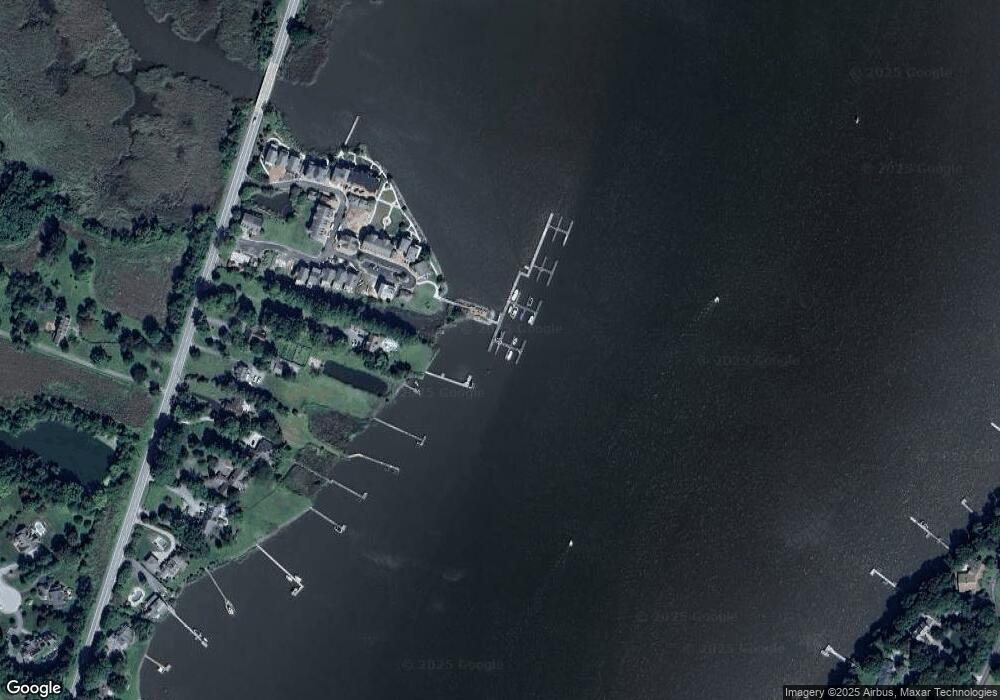
Map
Nearby Homes
- 103 Landing Ln
- 37 Landing Ln
- 35 Landing Ln
- 25 Landing Ln
- 118 Little Harbor Way Unit 202
- 36 Landing Ln
- 106 Landing Ln
- 104 Landing Ln
- 0 Little Harbor Way Unit 1
- 0 Little Harbor Way Unit 1 MDKE2004992
- 102 Little Harbor Way
- 104 Little Harbor Way
- 108 Little Harbor Way
- 7989 Quaker Neck Rd
- 206 S Water St
- 228 S Water St
- 206 Cannon St
- 105 High St
- 349 High St
- 349 & 351 High St
- 312 Landing Ln Unit 27
- 310 Landing Ln
- 310 Landing Ln Unit 26
- 308 Landing Ln Unit 17
- 308A Landing Ln
- 302 Landing Ln
- 316 Landing Ln
- 316 Landing Ln Unit 29
- 320 Landing Ln
- 320 Landing Ln Unit 31
- 320 Landing Ln
- 318 Landing Ln
- 318 Landing Ln Unit 30
- 306 Landing Ln
- 306 Landing Ln Unit 16
- 211 Landing Ln
- 211 Landing Ln Unit 32
- 304 Landing Ln Unit 15
- 304 Landing Ln
- 209 Landing Ln