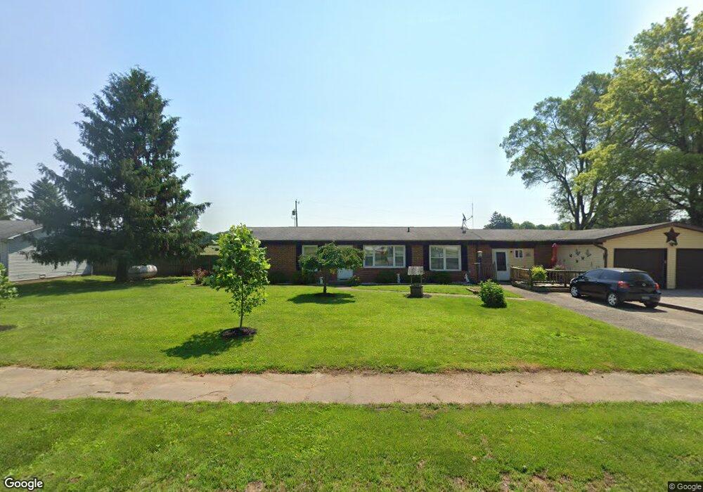
312 N Broad St Mooreland, IN 47360
Estimated Value: $170,000 - $195,732
2
Beds
1
Bath
988
Sq Ft
$181/Sq Ft
Est. Value
About This Home
This home is located at 312 N Broad St, Mooreland, IN 47360 and is currently estimated at $179,183, approximately $181 per square foot. 312 N Broad St is a home located in Henry County with nearby schools including Blue River Valley Elementary School and Blue River Valley Junior/Senior High School.
Ownership History
Date
Name
Owned For
Owner Type
Purchase Details
Closed on
Jul 24, 2015
Sold by
Rocktop Partners Llp
Bought by
Park Street Group Llc
Current Estimated Value
Purchase Details
Closed on
Feb 16, 2012
Sold by
Springleaf Fincl Svcs Of Indiana Inc
Bought by
Stonecrest Income And Opportunity Fund I
Purchase Details
Closed on
Jun 24, 2011
Sold by
Lough Brian E
Bought by
Springleaf Financial Services Of Indiana and American General Financial Services Inc
Create a Home Valuation Report for This Property
The Home Valuation Report is an in-depth analysis detailing your home's value as well as a comparison with similar homes in the area
Home Values in the Area
Average Home Value in this Area
Purchase History
| Date | Buyer | Sale Price | Title Company |
|---|---|---|---|
| Park Street Group Llc | -- | None Available | |
| Stonecrest Income And Opportunity Fund I | $8,500 | Brb Trust Title | |
| Springleaf Financial Services Of Indiana | $17,000 | None Available |
Source: Public Records
Tax History Compared to Growth
Tax History
| Year | Tax Paid | Tax Assessment Tax Assessment Total Assessment is a certain percentage of the fair market value that is determined by local assessors to be the total taxable value of land and additions on the property. | Land | Improvement |
|---|---|---|---|---|
| 2024 | $1,228 | $140,900 | $5,800 | $135,100 |
| 2023 | $949 | $113,800 | $5,800 | $108,000 |
| 2022 | $1,032 | $113,400 | $5,800 | $107,600 |
| 2021 | $803 | $98,100 | $5,800 | $92,300 |
| 2020 | $834 | $98,100 | $5,800 | $92,300 |
| 2019 | $809 | $96,500 | $5,800 | $90,700 |
| 2018 | $860 | $101,900 | $5,800 | $96,100 |
| 2017 | $797 | $100,800 | $5,800 | $95,000 |
| 2016 | $738 | $99,200 | $5,800 | $93,400 |
| 2014 | $656 | $98,100 | $5,800 | $92,300 |
| 2013 | $656 | $96,300 | $5,800 | $90,500 |
Source: Public Records
Map
Nearby Homes
- 000 E Us Highway 36
- 5694 E US Highway 36
- 5694 E State Road 36
- 4797 N County Road 550 E
- 5398 U S 36
- 5637 N County Road 900 E
- 8733 N County Road 575 E
- 6810 E US Highway 35
- 176 S Wilbur Wright Rd
- 0000 N Buck Creek Pike
- 419 S Wilbur Wright Rd
- 3215 E Brown Rd
- 3108 Brown St
- 0 E County Road 150 N Unit 11595995
- 0 E County Road 150 N Unit MBR22059035
- 9095 E State Road 38
- 1294 N Hillsboro Rd
- 0 Ellen Ct
- Lot 29 Ellen Ct
- LOT 25 Ellen Ct
- 312 N Broad St
- 001 NW Country Road 500e
- 314 N Broad St
- 309 N Broad St
- 307 N Broad St
- 331 N Broad St
- 305 N Broad St
- 318 N Broad St
- 304 N Broad St
- 302 N Broad St
- 4910 N Wilbur Wright Rd
- 221 N Wilbur Wright Rd
- 106 W North St
- 300 N Broad St
- 300 N Broad St Unit Mooreland
- 108 W North St
- 107 W North St
- 217 N Wilbur Wright Rd
- 220 N Jefferson St
- 4944 N Wilbur Wright Rd