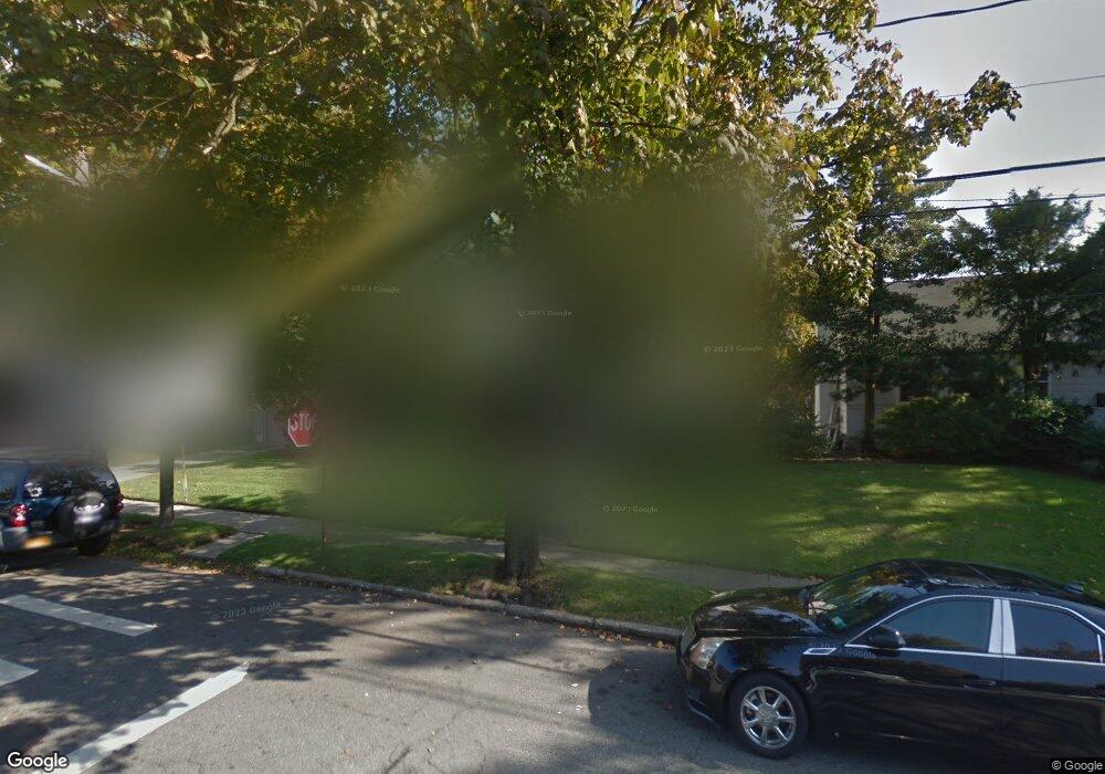
312 N Brookside Ave Freeport, NY 11520
Estimated Value: $729,000 - $738,383
3
Beds
2
Baths
2,200
Sq Ft
$333/Sq Ft
Est. Value
About This Home
This home is located at 312 N Brookside Ave, Freeport, NY 11520 and is currently estimated at $733,692, approximately $333 per square foot. 312 N Brookside Ave is a home located in Nassau County with nearby schools including Baldwin Senior High School, Roosevelt Children's Academy, and Sacred Heart School.
Ownership History
Date
Name
Owned For
Owner Type
Purchase Details
Closed on
May 7, 2021
Sold by
Friedman Carol and Sussman Marsha
Bought by
Prestamo Phillip and Prestamo Joya
Current Estimated Value
Home Financials for this Owner
Home Financials are based on the most recent Mortgage that was taken out on this home.
Original Mortgage
$378,000
Interest Rate
2.96%
Mortgage Type
New Conventional
Purchase Details
Closed on
Oct 15, 2010
Sold by
Friedman Rita
Bought by
Friedman Carol
Purchase Details
Closed on
Oct 12, 1996
Create a Home Valuation Report for This Property
The Home Valuation Report is an in-depth analysis detailing your home's value as well as a comparison with similar homes in the area
Home Values in the Area
Average Home Value in this Area
Purchase History
| Date | Buyer | Sale Price | Title Company |
|---|---|---|---|
| Prestamo Phillip | $504,000 | Title Resources Guaranty Co | |
| Prestamo Phillip | $504,000 | Title Resources Guaranty Co | |
| Friedman Carol | -- | Chicago Title | |
| Prestamo Phillip | $504,000 | Title Resources Guaranty Co | |
| Friedman Carol | -- | Chicago Title | |
| Friedman Carol | -- | -- | |
| Friedman Carol | -- | -- | |
| Friedman Carol | -- | -- | |
| -- | -- | -- | |
| -- | -- | -- |
Source: Public Records
Mortgage History
| Date | Status | Borrower | Loan Amount |
|---|---|---|---|
| Previous Owner | Prestamo Phillip | $378,000 | |
| Previous Owner | Prestamo Phillip | $0 |
Source: Public Records
Tax History
| Year | Tax Paid | Tax Assessment Tax Assessment Total Assessment is a certain percentage of the fair market value that is determined by local assessors to be the total taxable value of land and additions on the property. | Land | Improvement |
|---|---|---|---|---|
| 2025 | $11,550 | $463 | $153 | $310 |
| 2024 | $1,024 | $463 | $153 | $310 |
Source: Public Records
Map
Nearby Homes
- 1 Willowbrook Ln
- 215 N Brookside Ave
- 200 Evans Ave
- 1850 Voshage St
- 89 Delaware Ave
- 139 New York Ave
- 980 Wallace Ave
- 315 Maryland Ave
- 938 Wallace Ave
- 915 Wallace Ave
- 858 Seaman Ave E
- 156 Brookside Ave
- 365 Wallace St
- 6 Beverly Pkwy
- 1503 Paul St
- 60 Connecticut Ave
- 1878 Lake Dr W
- 883 Mckenna Ave
- 1690 Grand Ave Unit A15
- 1690 Grand Ave Unit A16
- 304 N Brookside Ave
- 320 N Brookside Ave
- 3 Tanglewood Ln
- 5 Tanglewood Ln
- 328 N Brookside Ave
- 20 Willowbrook Ln
- 22 Willowbrook Ln
- 18 Willowbrook Ln
- 303 N Brookside Ave
- 321 N Brookside Ave
- 7 Tanglewood Ln
- 26 Willowbrook Ln
- 201 Delaware Ave
- 4 Tanglewood Ln
- 335 N Brookside Ave
- 199 Delaware Ave
- 9 Tanglewood Ln
- 16 Willowbrook Ln
- 19 Willowbrook Ln
- 311 N Brookside Ave
Your Personal Tour Guide
Ask me questions while you tour the home.