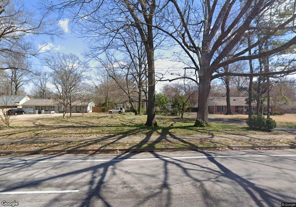
312 N Mendenhall Rd Memphis, TN 38117
Audubon Park NeighborhoodEstimated Value: $334,000 - $377,000
4
Beds
1
Bath
1,983
Sq Ft
$177/Sq Ft
Est. Value
About This Home
This home is located at 312 N Mendenhall Rd, Memphis, TN 38117 and is currently estimated at $350,383, approximately $176 per square foot. 312 N Mendenhall Rd is a home located in Shelby County with nearby schools including Richland Elementary School, White Station Middle, and White Station High.
Ownership History
Date
Name
Owned For
Owner Type
Purchase Details
Closed on
Jul 28, 2000
Sold by
James Going
Bought by
Richards David W and Richards Marian L
Current Estimated Value
Home Financials for this Owner
Home Financials are based on the most recent Mortgage that was taken out on this home.
Original Mortgage
$193,500
Outstanding Balance
$69,913
Interest Rate
8.17%
Estimated Equity
$280,470
Purchase Details
Closed on
May 31, 1995
Bought by
James Going
Purchase Details
Closed on
Dec 14, 1994
Bought by
James Shepherd
Create a Home Valuation Report for This Property
The Home Valuation Report is an in-depth analysis detailing your home's value as well as a comparison with similar homes in the area
Home Values in the Area
Average Home Value in this Area
Purchase History
| Date | Buyer | Sale Price | Title Company |
|---|---|---|---|
| Richards David W | $215,000 | Fidelity Title & Escrow Inc | |
| James Going | $155,000 | -- | |
| James Shepherd | $39,275 | -- |
Source: Public Records
Mortgage History
| Date | Status | Borrower | Loan Amount |
|---|---|---|---|
| Open | Richards David W | $193,500 |
Source: Public Records
Tax History Compared to Growth
Tax History
| Year | Tax Paid | Tax Assessment Tax Assessment Total Assessment is a certain percentage of the fair market value that is determined by local assessors to be the total taxable value of land and additions on the property. | Land | Improvement |
|---|---|---|---|---|
| 2025 | -- | $91,050 | $17,625 | $73,425 |
| 2024 | $2,381 | $70,250 | $10,950 | $59,300 |
| 2023 | $4,279 | $70,250 | $10,950 | $59,300 |
| 2022 | $4,279 | $70,250 | $10,950 | $59,300 |
| 2021 | $4,330 | $70,250 | $10,950 | $59,300 |
| 2020 | $4,012 | $55,375 | $9,275 | $46,100 |
| 2019 | $4,012 | $55,375 | $9,275 | $46,100 |
| 2018 | $4,012 | $55,375 | $9,275 | $46,100 |
| 2017 | $2,276 | $55,375 | $9,275 | $46,100 |
| 2016 | $2,247 | $51,425 | $0 | $0 |
| 2014 | $2,247 | $51,425 | $0 | $0 |
Source: Public Records
Map
Nearby Homes
- 4985 Chickasaw Rd
- 416 Elwood Ln
- 4980 Barfield Rd
- 352 Avon Rd
- 209 Leonora Dr
- 346 Leonora Dr
- 352 Leonora Dr
- 4865 Princeton Rd
- 4737 Sequoia Rd
- 4956 Robindale Ln
- 4950 Princeton Rd
- 4931 Princeton Grove
- 131 N Mendenhall Rd
- 4730 Sequoia Rd
- 5121 Lynbar Ave
- 5009 Henry Heights Dr
- 5017 Henry Heights Dr
- 5081 Rich Rd
- 5033 Henry Heights Dr
- 507 Henry Heights Dr
- 326 N Mendenhall Rd
- 308 N Mendenhall Rd
- 4936 Chickasaw Rd
- 4944 Chickasaw Rd
- 334 N Mendenhall Rd
- 4950 Chickasaw Rd
- 315 W Peg Ln
- 4941 Sullivan Woods Cove
- 4933 Sullivan Woods Cove
- 4945 Sullivan Woods Cove
- 325 W Peg Ln
- 4925 Sullivan Woods Cove
- 307 W Peg Ln
- 278 N Mendenhall Rd
- 4941 Chickasaw Rd
- 319 W Peg Ln
- 319 N Mendenhall Rd
- 301 W Peg Ln
- 4949 Chickasaw Rd
- 329 W Peg Ln