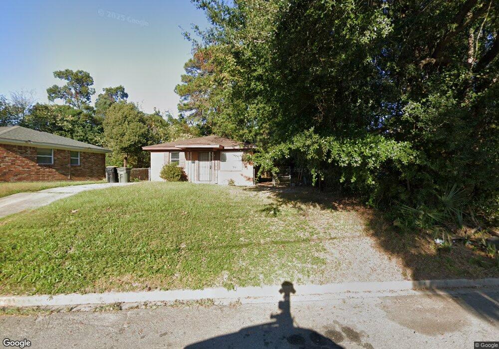
312 Nettles St Savannah, GA 31415
West Savannah NeighborhoodEstimated Value: $102,000 - $185,000
3
Beds
1
Bath
1,000
Sq Ft
$141/Sq Ft
Est. Value
About This Home
This home is located at 312 Nettles St, Savannah, GA 31415 and is currently estimated at $140,526, approximately $140 per square foot. 312 Nettles St is a home located in Chatham County with nearby schools including Otis J. Brock, III Elementary School, Mercer Middle School, and Groves High School.
Ownership History
Date
Name
Owned For
Owner Type
Purchase Details
Closed on
May 10, 2013
Sold by
Moody Herbert H
Bought by
503 E 34Th Street Llc
Current Estimated Value
Purchase Details
Closed on
Jan 18, 2005
Sold by
Not Provided
Bought by
Moody Herbert H and Moody Stephanie G
Purchase Details
Closed on
Jan 14, 2005
Sold by
Weiner Aron G
Bought by
Moody Herbert H and Moody Stephanie G
Create a Home Valuation Report for This Property
The Home Valuation Report is an in-depth analysis detailing your home's value as well as a comparison with similar homes in the area
Home Values in the Area
Average Home Value in this Area
Purchase History
| Date | Buyer | Sale Price | Title Company |
|---|---|---|---|
| 503 E 34Th Street Llc | -- | -- | |
| Moody Herbert H | $35,000 | -- | |
| Moody Herbert H | $35,000 | -- | |
| Moody Herbert H | $35,000 | -- |
Source: Public Records
Tax History Compared to Growth
Tax History
| Year | Tax Paid | Tax Assessment Tax Assessment Total Assessment is a certain percentage of the fair market value that is determined by local assessors to be the total taxable value of land and additions on the property. | Land | Improvement |
|---|---|---|---|---|
| 2025 | $1,483 | $36,840 | $16,000 | $20,840 |
| 2024 | $1,483 | $25,520 | $8,000 | $17,520 |
| 2023 | $242 | $19,800 | $3,400 | $16,400 |
| 2022 | $311 | $25,520 | $3,400 | $22,120 |
| 2021 | $1,172 | $19,880 | $3,400 | $16,480 |
| 2020 | $658 | $20,840 | $3,400 | $17,440 |
| 2019 | $1,251 | $20,840 | $3,400 | $17,440 |
| 2018 | $653 | $20,560 | $3,400 | $17,160 |
| 2017 | $618 | $21,080 | $3,400 | $17,680 |
| 2016 | $618 | $21,200 | $3,400 | $17,800 |
| 2015 | $1,222 | $21,120 | $3,040 | $18,080 |
| 2014 | $1,315 | $23,720 | $0 | $0 |
Source: Public Records
Map
Nearby Homes
- 207 Cleland Ave
- 1600 Damon St
- 501 Tuten Ave
- 105 Millen St
- 11 West St
- 1500 Damon St
- 108 Millen St
- 2011 Gugel St
- 133 Millen St
- 2016 Eppinger St
- 238 Millen St
- 1725 Dunn St
- 2102 Patch St
- 1225 Richards St
- 31 Scarborough St
- 11 Norton St
- 119 Scarborough St
- 1525 New Castle St
- 1417 New Castle St
- 1207 Love St
- 310 Nettles St
- 406 Cleland Ave
- 408 Cleland Ave
- 404 Cleland Ave
- 1908 Weldon St
- 1902 Weldon St
- 1634 Damon St
- 402 Cleland Ave
- 405 Cleland Ave
- 2002 Krenson St
- 403 Cleland Ave
- 1907 Weldon St
- 1903 Weldon St
- 310 Cleland Ave
- 2003 Krenson St
- 2001 Weldon St
- 2004 Krenson St
- 2004 Krenson St
- 2007 Krenson St
- 2006 Weldon St