312 Pole Rd Weatherly, PA 18255
Estimated Value: $293,000 - $448,000
3
Beds
2
Baths
1,808
Sq Ft
$197/Sq Ft
Est. Value
About This Home
This home is located at 312 Pole Rd, Weatherly, PA 18255 and is currently estimated at $355,354, approximately $196 per square foot. 312 Pole Rd is a home with nearby schools including Weatherly Elementary/ Middle School and Weatherly Area Senior High School.
Ownership History
Date
Name
Owned For
Owner Type
Purchase Details
Closed on
Mar 23, 2009
Sold by
Bozar George J and Bozar George J
Bought by
Bozar George J and Kolensky Donna M
Current Estimated Value
Home Financials for this Owner
Home Financials are based on the most recent Mortgage that was taken out on this home.
Original Mortgage
$182,000
Interest Rate
4.93%
Mortgage Type
Future Advance Clause Open End Mortgage
Purchase Details
Closed on
Apr 25, 2008
Sold by
Scaran Geraldine J
Bought by
Bozar George J and Bozar George J
Create a Home Valuation Report for This Property
The Home Valuation Report is an in-depth analysis detailing your home's value as well as a comparison with similar homes in the area
Home Values in the Area
Average Home Value in this Area
Purchase History
| Date | Buyer | Sale Price | Title Company |
|---|---|---|---|
| Bozar George J | -- | None Available | |
| Bozar George J | $40,000 | None Available |
Source: Public Records
Mortgage History
| Date | Status | Borrower | Loan Amount |
|---|---|---|---|
| Open | Bozar George J | $21,645 | |
| Closed | Bozar George J | $182,000 |
Source: Public Records
Tax History Compared to Growth
Tax History
| Year | Tax Paid | Tax Assessment Tax Assessment Total Assessment is a certain percentage of the fair market value that is determined by local assessors to be the total taxable value of land and additions on the property. | Land | Improvement |
|---|---|---|---|---|
| 2025 | $5,337 | $77,253 | $10,400 | $66,853 |
| 2024 | $5,017 | $77,253 | $10,400 | $66,853 |
| 2023 | $4,843 | $77,253 | $10,400 | $66,853 |
| 2022 | $4,843 | $77,253 | $10,400 | $66,853 |
| 2021 | $4,766 | $77,253 | $10,400 | $66,853 |
| 2020 | $4,766 | $77,253 | $10,400 | $66,853 |
| 2019 | $4,498 | $77,253 | $10,400 | $66,853 |
| 2018 | $4,389 | $77,253 | $10,400 | $66,853 |
| 2017 | $4,273 | $77,253 | $10,400 | $66,853 |
| 2016 | -- | $77,253 | $10,400 | $66,853 |
| 2015 | -- | $77,253 | $10,400 | $66,853 |
| 2014 | -- | $77,253 | $10,400 | $66,853 |
Source: Public Records
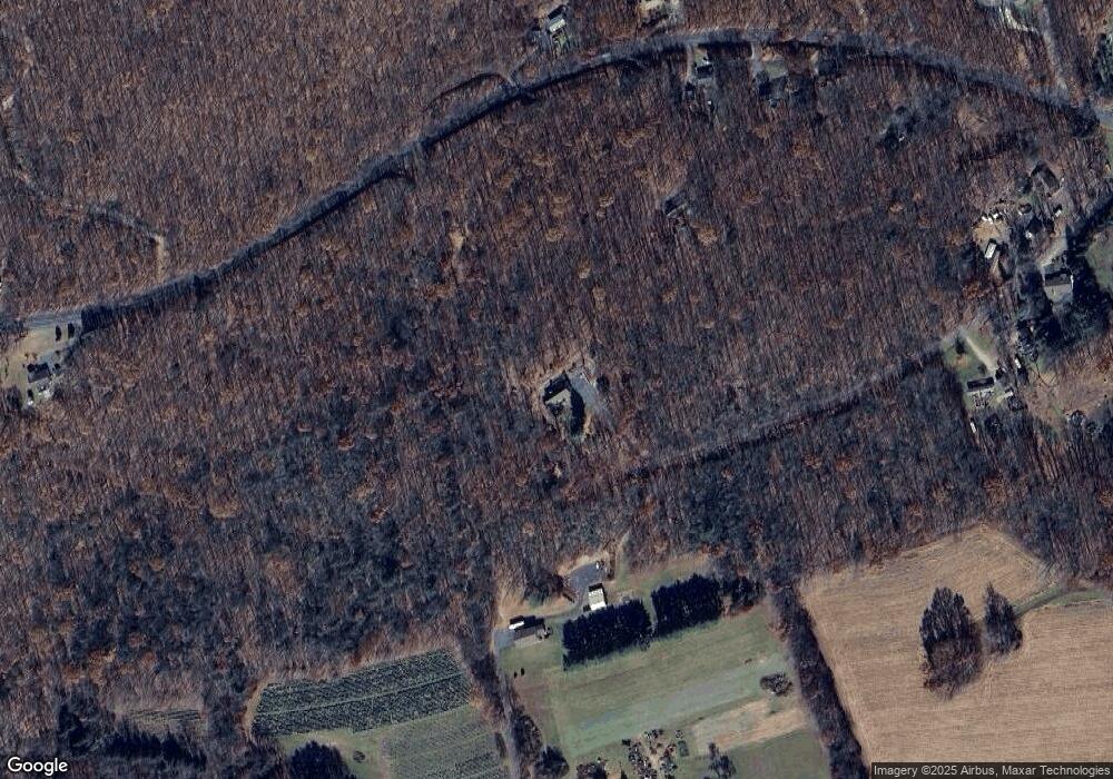
Map
Nearby Homes
- 751 Hudson Dr
- 135 Dean St
- 97 Broad St
- 374 Packer Dr
- Lot C1.13 Packer Dr
- 0 Packer Dr
- 19 3rd St
- 0 Grist Mill Drive Lot Unit WP001
- 0 Grist Mill Dr
- 462 Plane St
- 25 Franklin St
- 220 Entwistle St
- 100 Monroe Ct
- 419 Sand Spring Rd
- 333 Carbon St
- 2001 E Broad St
- 6851 Buck Mountain Rd
- 0 Buck Mountain Rd Unit 747254
- 631 3rd St
- 829 E Main St
- 2396 Wetzel Run Dr
- 771 Hudson Dr
- 803 Hudson Dr
- 678 Hudson Dr
- 2400 Wetzel Run Dr
- 748 Hudson Dr
- 843 Hudson Dr
- 143 Pole Rd
- 913 Hudson Dr
- 2432 Wetzel Run Dr
- 127 Pole Rd
- 2358 Wetzel Run Dr
- 2500 Wetzel Run Dr
- 85 Pole Rd
- 975 Hudson Dr
- 435 Hudson Dr
- 2475 Wetzel Run Dr
- 2415 Wetzel Run Dr
- 2531 Wetzel Run Dr
- 368 Hudson Dr