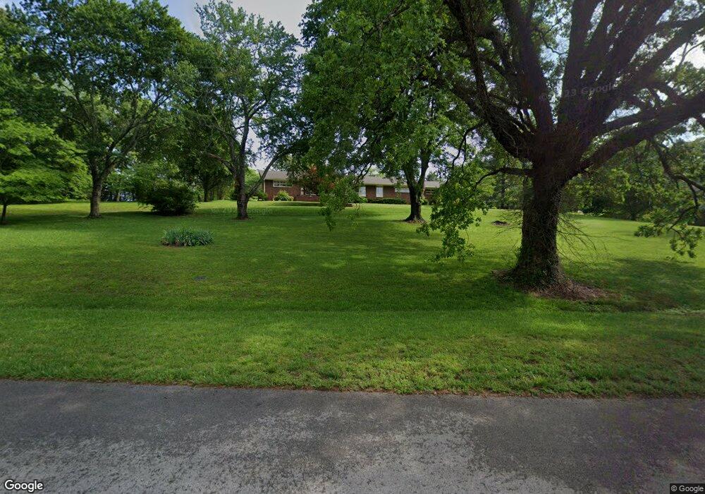
312 Post Rd McMinnville, TN 37110
Estimated Value: $401,698 - $686,000
--
Bed
4
Baths
2,880
Sq Ft
$185/Sq Ft
Est. Value
About This Home
This home is located at 312 Post Rd, McMinnville, TN 37110 and is currently estimated at $533,425, approximately $185 per square foot. 312 Post Rd is a home located in Warren County with nearby schools including West Elementary School, Warren County Middle School, and Warren County High School.
Ownership History
Date
Name
Owned For
Owner Type
Purchase Details
Closed on
Jul 16, 2004
Sold by
Spivey H Ray and Spivey Karen A
Bought by
Wilson Miles and Wilson Pamela
Current Estimated Value
Home Financials for this Owner
Home Financials are based on the most recent Mortgage that was taken out on this home.
Original Mortgage
$151,476
Interest Rate
6.24%
Purchase Details
Closed on
Mar 17, 1997
Sold by
Spivey H Ray
Bought by
Spivey Karen A
Purchase Details
Closed on
Aug 2, 1994
Sold by
Warrington Thomas and Warrington Kate
Bought by
Spivey Ray and Spivey Karen
Purchase Details
Closed on
Jul 30, 1994
Bought by
Spivey H Ray H and Spivey Karen A
Purchase Details
Closed on
Sep 2, 1993
Bought by
Warrington Thomas A and Warrington Kate H
Purchase Details
Closed on
Aug 26, 1993
Bought by
Warrington Thomas A and Warrington Kate H
Create a Home Valuation Report for This Property
The Home Valuation Report is an in-depth analysis detailing your home's value as well as a comparison with similar homes in the area
Home Values in the Area
Average Home Value in this Area
Purchase History
| Date | Buyer | Sale Price | Title Company |
|---|---|---|---|
| Wilson Miles | $180,000 | -- | |
| Spivey Karen A | -- | -- | |
| Spivey Ray | -- | -- | |
| Spivey H Ray H | $175,000 | -- | |
| Warrington Thomas A | -- | -- | |
| Warrington Thomas A | $112,500 | -- |
Source: Public Records
Mortgage History
| Date | Status | Borrower | Loan Amount |
|---|---|---|---|
| Closed | Warrington Thomas A | $151,476 |
Source: Public Records
Tax History Compared to Growth
Tax History
| Year | Tax Paid | Tax Assessment Tax Assessment Total Assessment is a certain percentage of the fair market value that is determined by local assessors to be the total taxable value of land and additions on the property. | Land | Improvement |
|---|---|---|---|---|
| 2024 | -- | $66,250 | $11,025 | $55,225 |
| 2023 | $2,695 | $66,250 | $11,025 | $55,225 |
| 2022 | $2,529 | $66,250 | $11,025 | $55,225 |
| 2021 | $2,529 | $66,250 | $11,025 | $55,225 |
| 2020 | $1,225 | $66,250 | $11,025 | $55,225 |
| 2019 | $2,506 | $57,925 | $10,500 | $47,425 |
| 2018 | $2,344 | $57,925 | $10,500 | $47,425 |
| 2017 | $2,344 | $57,925 | $10,500 | $47,425 |
| 2016 | $2,344 | $57,925 | $10,500 | $47,425 |
| 2015 | $2,361 | $57,925 | $10,500 | $47,425 |
| 2014 | $2,325 | $57,925 | $10,500 | $47,425 |
| 2013 | $2,325 | $56,898 | $0 | $0 |
Source: Public Records
Map
Nearby Homes
- 728 W Main St
- 108 James St
- 314 Westwood Dr
- 208 Lakeshore Dr
- 400 Westwood Dr
- 101 Hillwood Ln
- 545 Ridgecrest Dr
- 301 Westwood Dr
- 104 Hickory Ln
- 401 Clark Blvd
- 301 Ben Lomond Dr
- 103 Ashwood Ln
- 317 Lakeshore Dr
- 301 Bradford Rd
- 523 W End Ave
- 126 Wilson Ln
- 200 Clark Blvd
- 303 Edgewood Ave
- 307 W End Ave
- 218 Garfield St
- 112 Post Hill Ct
- 318 Post Rd
- 310 Post Rd
- 311 Post Rd
- 108 Post Hill Ct
- 200 Hillcrest St
- 107 Westview St
- 320 Post Rd
- 300 Post Rd
- 319 Post Rd
- 201 Westview St
- 100 Post Hill Ct
- 718 W Main St
- 737 Garfield St
- 723 Garfield St
- 309 Post Rd Unit 307
- 105 Westview St
- 203 Westview St
- 724 W Main St
- 727 Garfield St