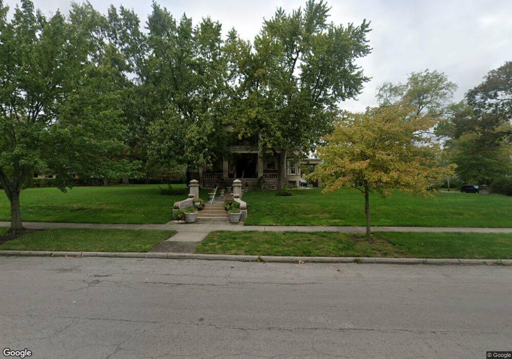
312 S Cole St Lima, OH 45805
Riverside North NeighborhoodEstimated Value: $391,000 - $489,000
6
Beds
5
Baths
6,430
Sq Ft
$70/Sq Ft
Est. Value
About This Home
This home is located at 312 S Cole St, Lima, OH 45805 and is currently estimated at $447,375, approximately $69 per square foot. 312 S Cole St is a home located in Allen County with nearby schools including Heritage Elementary School, Lima West Middle School, and Lima North Middle School.
Ownership History
Date
Name
Owned For
Owner Type
Purchase Details
Closed on
Nov 29, 2005
Sold by
Macdonell Alexander D and Macdonell Martha S
Bought by
Nelson Nicole A and Nelson Robert W
Current Estimated Value
Home Financials for this Owner
Home Financials are based on the most recent Mortgage that was taken out on this home.
Original Mortgage
$176,000
Outstanding Balance
$97,770
Interest Rate
6.17%
Mortgage Type
Future Advance Clause Open End Mortgage
Estimated Equity
$349,605
Purchase Details
Closed on
Jan 16, 1986
Bought by
Metropolitan Bank Of
Create a Home Valuation Report for This Property
The Home Valuation Report is an in-depth analysis detailing your home's value as well as a comparison with similar homes in the area
Home Values in the Area
Average Home Value in this Area
Purchase History
| Date | Buyer | Sale Price | Title Company |
|---|---|---|---|
| Nelson Nicole A | $220,000 | None Available | |
| Metropolitan Bank Of | $86,000 | -- |
Source: Public Records
Mortgage History
| Date | Status | Borrower | Loan Amount |
|---|---|---|---|
| Open | Nelson Nicole A | $176,000 |
Source: Public Records
Tax History Compared to Growth
Tax History
| Year | Tax Paid | Tax Assessment Tax Assessment Total Assessment is a certain percentage of the fair market value that is determined by local assessors to be the total taxable value of land and additions on the property. | Land | Improvement |
|---|---|---|---|---|
| 2024 | $5,690 | $160,690 | $18,410 | $142,280 |
| 2023 | $5,300 | $130,660 | $14,980 | $115,680 |
| 2022 | $5,337 | $130,660 | $14,980 | $115,680 |
| 2021 | $5,676 | $130,660 | $14,980 | $115,680 |
| 2020 | $5,517 | $112,320 | $14,250 | $98,070 |
| 2019 | $5,517 | $112,320 | $14,250 | $98,070 |
| 2018 | $5,275 | $112,320 | $14,250 | $98,070 |
| 2017 | $5,104 | $103,400 | $14,250 | $89,150 |
| 2016 | $5,161 | $103,400 | $14,250 | $89,150 |
| 2015 | $4,988 | $99,900 | $14,250 | $85,650 |
| 2014 | $4,988 | $98,080 | $14,880 | $83,200 |
| 2013 | $4,850 | $98,080 | $14,880 | $83,200 |
Source: Public Records
Map
Nearby Homes
- 233 S Kenilworth Ave
- 427 S Kenilworth Ave
- 120 S Woodlawn Ave
- 343 S Charles St
- 1036 W High St
- 1459 W Market St
- 1524 Wendell Ave
- 644 S Judkins Ave
- 419 S Collett St
- 1909 Wales Ave
- 1630 W Market St
- 705 W Elm St
- 1517 Allentown Rd
- 2191 Lakewood Ave
- 426 S Baxter St
- 109 N Pears Ave
- 1120 Richie Ave
- 1703 W Wayne St
- 1206 Rice Ave
- 1912 Hillcrest Dr