312 Tustin Cir N Elysian, MN 56028
Estimated Value: $371,000 - $521,000
4
Beds
3
Baths
2,193
Sq Ft
$207/Sq Ft
Est. Value
About This Home
This home is located at 312 Tustin Cir N, Elysian, MN 56028 and is currently estimated at $454,024, approximately $207 per square foot. 312 Tustin Cir N is a home with nearby schools including Waterville Elementary School, Morristown Elementary School, and Waterville-Elysian-Morristown Junior High School.
Ownership History
Date
Name
Owned For
Owner Type
Purchase Details
Closed on
Aug 29, 2011
Sold by
Henninger Jeremy
Bought by
Brown Jeremy A and Brown Kimberly A
Current Estimated Value
Create a Home Valuation Report for This Property
The Home Valuation Report is an in-depth analysis detailing your home's value as well as a comparison with similar homes in the area
Home Values in the Area
Average Home Value in this Area
Purchase History
| Date | Buyer | Sale Price | Title Company |
|---|---|---|---|
| Brown Jeremy A | $15,000 | -- |
Source: Public Records
Tax History Compared to Growth
Tax History
| Year | Tax Paid | Tax Assessment Tax Assessment Total Assessment is a certain percentage of the fair market value that is determined by local assessors to be the total taxable value of land and additions on the property. | Land | Improvement |
|---|---|---|---|---|
| 2025 | $5,278 | $411,000 | $45,000 | $366,000 |
| 2024 | $5,014 | $390,900 | $45,000 | $345,900 |
| 2023 | $5,088 | $379,500 | $45,000 | $334,500 |
| 2022 | $4,512 | $377,200 | $45,000 | $332,200 |
| 2021 | $4,448 | $292,700 | $45,000 | $247,700 |
| 2020 | $4,466 | $280,100 | $45,000 | $235,100 |
| 2019 | $4,604 | $268,100 | $43,072 | $225,028 |
| 2018 | $4,589 | $268,100 | $43,072 | $225,028 |
| 2017 | $3,539 | $233,400 | $42,300 | $191,100 |
| 2016 | $3,730 | $228,300 | $42,174 | $186,126 |
| 2015 | $3,715 | $247,100 | $52,091 | $195,009 |
| 2014 | $3,461 | $257,500 | $52,376 | $205,124 |
| 2013 | $3,266 | $234,100 | $51,730 | $182,370 |
Source: Public Records
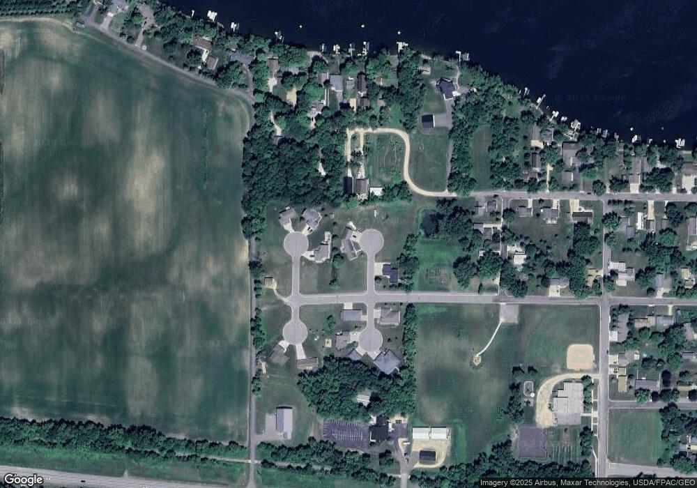
Map
Nearby Homes
- 0 Xx Lewis Ln Unit 7025397
- 0 Xx Lewis Ln Unit 7025381
- xx Lewis Ln
- xxxxxx Lewis Ln
- 4 Egret Ln
- -XX Jason Dr
- 3271 425th Ave
- 49279 Sportsmans Ln
- 49189 Sportsmans Ln
- 20232 Tetonka Lake Rd
- 47096 Maple Leaf Ln
- 921 Lillian St
- 605 Northwood Place
- 611 Northwood Place
- 810 N Shore Dr
- 902 Marion St
- 24352 474th Ln
- 24352 474 Ln
- 0 Lake View Rd
- 523 Allyn Cir
- 0 N Tustin Cir Unit 3977397
- 310 Tustin Cir N
- TBD Tustin Cir N
- 313 Tustin Cir N
- 304 Tustin Cir N
- 0 Tbd N Tustin Cir
- 307 Francis Cir N
- 0 Tbd Lot 13 S Tustin Cir Unit 7019979
- 304 304 N Tustin Cir
- 0 Tbd Lot 11 S Tustin Cir Unit 7019980
- 300 Francis Cir N
- 300 300 N Francis-Circle-
- 201 Francis Cir S
- 0 Tbd Lot 8 S Tustin Cir Unit 7019981
- 708 Lakeside Dr NW
- 0 Tbd Lot 12 S Tustin Cir Unit 7019982
- 207 Francis Cir N
- 207 Francis Cir N
- 207 Francis Cir S
- 200 Francis Cir S