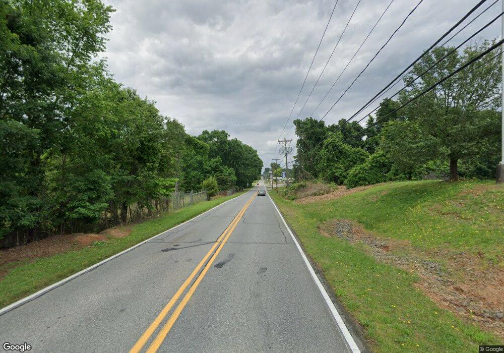
312 Us Highway 70a E Hildebran, NC 28637
Estimated Value: $184,000 - $287,000
3
Beds
1
Bath
1,754
Sq Ft
$138/Sq Ft
Est. Value
About This Home
This home is located at 312 Us Highway 70a E, Hildebran, NC 28637 and is currently estimated at $242,059, approximately $138 per square foot. 312 Us Highway 70a E is a home located in Burke County with nearby schools including Hildebran Elementary School, East Burke Middle School, and East Burke High School.
Ownership History
Date
Name
Owned For
Owner Type
Purchase Details
Closed on
Jan 31, 2022
Sold by
Thornburg Clarence T
Bought by
Walker Isaac Robert
Current Estimated Value
Home Financials for this Owner
Home Financials are based on the most recent Mortgage that was taken out on this home.
Original Mortgage
$189,000
Outstanding Balance
$175,149
Interest Rate
3.22%
Mortgage Type
New Conventional
Estimated Equity
$66,910
Purchase Details
Closed on
Feb 6, 2019
Sold by
Thornburg Charles W and Thornburg Mickie W
Bought by
Thornburg Clarence T
Purchase Details
Closed on
Jun 24, 2014
Sold by
Thornburg Clarence T
Bought by
Thornburg Charles W and Thornburg Mickie W
Create a Home Valuation Report for This Property
The Home Valuation Report is an in-depth analysis detailing your home's value as well as a comparison with similar homes in the area
Home Values in the Area
Average Home Value in this Area
Purchase History
| Date | Buyer | Sale Price | Title Company |
|---|---|---|---|
| Walker Isaac Robert | $125,000 | New Title Company Name | |
| Thornburg Clarence T | -- | None Available | |
| Thornburg Charles W | -- | None Available |
Source: Public Records
Mortgage History
| Date | Status | Borrower | Loan Amount |
|---|---|---|---|
| Open | Walker Isaac Robert | $189,000 |
Source: Public Records
Tax History Compared to Growth
Tax History
| Year | Tax Paid | Tax Assessment Tax Assessment Total Assessment is a certain percentage of the fair market value that is determined by local assessors to be the total taxable value of land and additions on the property. | Land | Improvement |
|---|---|---|---|---|
| 2025 | $1,594 | $182,035 | $30,498 | $151,537 |
| 2024 | $1,414 | $161,153 | $30,498 | $130,655 |
| 2023 | $1,414 | $159,750 | $30,498 | $129,252 |
| 2022 | $1,568 | $153,985 | $29,238 | $124,747 |
| 2021 | $1,531 | $153,985 | $29,238 | $124,747 |
| 2020 | $1,527 | $153,985 | $29,238 | $124,747 |
| 2019 | $1,527 | $153,985 | $29,238 | $124,747 |
| 2018 | $1,455 | $144,438 | $29,238 | $115,200 |
| 2017 | $1,237 | $144,438 | $29,238 | $115,200 |
| 2016 | $1,191 | $144,438 | $29,238 | $115,200 |
| 2015 | $1,190 | $144,438 | $29,238 | $115,200 |
| 2014 | $1,223 | $148,702 | $33,201 | $115,501 |
| 2013 | $1,228 | $148,702 | $33,201 | $115,501 |
Source: Public Records
Map
Nearby Homes
- 206 11th St NE
- 3948 Main Avenue Dr NW Unit 52
- 1225 39th St SW
- 1314 39th Street Cir SW
- 124 Third St SE
- 1324 39th St SW
- 1346 39th St SW
- 312 Oak Knoll
- 218 37th St SW
- 303 37th St SW
- 1356 39th St SW
- 3272 Wilson Heights Dr
- 605 U S 70
- 200 N Center St
- 145 33rd St SW
- 127 33rd St SW
- 105 3rd Ave NW
- 9459 Westridge Dr
- 9389 Westridge Dr
- 0 33rd St NW
- 312 Us Hwy 70a E
- 314 Us Highway 70a E
- 9999 10th Ave Dr SW
- 316 Us Hwy 70a E
- 316 Us Highway 70a E
- 318 Us Highway 70a E
- 318 Us Hwy 70a E
- 306 Us Highway 70a E
- 320 Us Highway 70a E
- 111 10th St NE
- 326 Us Highway 70a E
- 302 Us Highway 70a E
- 106 10th St NE
- 108 10th St NE
- 110 10th St NE
- 328 Us Highway 70a E
- 112 10th St SE
- 300 Us Highway 70a E
- 118 10th St NE
- 112 Tenth St NE
