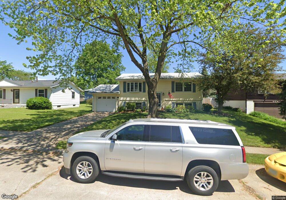
312 W 63rd St Davenport, IA 52806
North Side NeighborhoodEstimated Value: $143,000 - $169,000
4
Beds
2
Baths
816
Sq Ft
$191/Sq Ft
Est. Value
About This Home
This home is located at 312 W 63rd St, Davenport, IA 52806 and is currently estimated at $155,974, approximately $191 per square foot. 312 W 63rd St is a home located in Scott County with nearby schools including Cumberland Hall School, Harrison Elementary School, and Academy Of Continuing Education.
Create a Home Valuation Report for This Property
The Home Valuation Report is an in-depth analysis detailing your home's value as well as a comparison with similar homes in the area
Home Values in the Area
Average Home Value in this Area
Tax History Compared to Growth
Tax History
| Year | Tax Paid | Tax Assessment Tax Assessment Total Assessment is a certain percentage of the fair market value that is determined by local assessors to be the total taxable value of land and additions on the property. | Land | Improvement |
|---|---|---|---|---|
| 2025 | $1,948 | $149,310 | $24,920 | $124,390 |
| 2024 | $2,014 | $132,930 | $24,920 | $108,010 |
| 2023 | $2,114 | $132,930 | $24,920 | $108,010 |
| 2022 | $2,122 | $107,840 | $15,580 | $92,260 |
| 2021 | $2,122 | $107,840 | $15,580 | $92,260 |
| 2020 | $2,028 | $102,190 | $15,580 | $86,610 |
| 2019 | $2,102 | $102,190 | $15,580 | $86,610 |
| 2018 | $2,052 | $102,190 | $15,580 | $86,610 |
| 2017 | $1,980 | $102,190 | $15,580 | $86,610 |
| 2016 | $1,902 | $95,600 | $0 | $0 |
| 2015 | $1,902 | $98,190 | $0 | $0 |
| 2014 | $1,988 | $98,190 | $0 | $0 |
| 2013 | $1,948 | $0 | $0 | $0 |
| 2012 | -- | $93,920 | $16,400 | $77,520 |
Source: Public Records
Map
Nearby Homes
- 6205 N Ripley St
- 6209 Fair Ave
- 6127 Fair Ave
- 6112 Western Ave
- 655 W 64th St
- 665 W 64th St
- 671 W 64th St
- 6109 N Brady St
- 6322 Appomattox Rd
- 6308 Appomattox Rd
- LOT 54 Franklin Ave
- Lot 56 Franklin Ave
- Lot 26 Benjamin Ct
- 6015 Vine St
- 1005 W 58th St
- 1033 W 58th St
- 1301 W 62nd Ct
- 5735 Taylor St
- 5721 Taylor St
- 710 Northbrook Dr