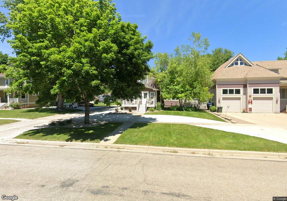
312 W Luverne St Luverne, MN 56156
Estimated Value: $210,162 - $271,000
4
Beds
2
Baths
1,952
Sq Ft
$119/Sq Ft
Est. Value
About This Home
This home is located at 312 W Luverne St, Luverne, MN 56156 and is currently estimated at $232,291, approximately $119 per square foot. 312 W Luverne St is a home located in Rock County with nearby schools including Luverne Elementary School and Luverne Senior High School.
Ownership History
Date
Name
Owned For
Owner Type
Purchase Details
Closed on
Mar 3, 2015
Sold by
Federal National Mortgage Association
Bought by
Papik Gary
Current Estimated Value
Home Financials for this Owner
Home Financials are based on the most recent Mortgage that was taken out on this home.
Original Mortgage
$67,000
Outstanding Balance
$51,296
Interest Rate
3.67%
Mortgage Type
New Conventional
Estimated Equity
$180,995
Create a Home Valuation Report for This Property
The Home Valuation Report is an in-depth analysis detailing your home's value as well as a comparison with similar homes in the area
Home Values in the Area
Average Home Value in this Area
Purchase History
| Date | Buyer | Sale Price | Title Company |
|---|---|---|---|
| Papik Gary | $87,036 | Alliance Title Llc |
Source: Public Records
Mortgage History
| Date | Status | Borrower | Loan Amount |
|---|---|---|---|
| Open | Papik Gary | $67,000 |
Source: Public Records
Tax History Compared to Growth
Tax History
| Year | Tax Paid | Tax Assessment Tax Assessment Total Assessment is a certain percentage of the fair market value that is determined by local assessors to be the total taxable value of land and additions on the property. | Land | Improvement |
|---|---|---|---|---|
| 2025 | $2,612 | $240,800 | $6,000 | $234,800 |
| 2024 | $2,612 | $229,000 | $5,000 | $224,000 |
| 2023 | $2,056 | $204,900 | $5,000 | $199,900 |
| 2022 | $1,930 | $159,000 | $4,500 | $154,500 |
| 2021 | $1,840 | $149,200 | $4,500 | $144,700 |
| 2020 | $1,418 | $143,900 | $4,500 | $139,400 |
| 2019 | $1,334 | $110,400 | $4,500 | $105,900 |
| 2018 | $1,200 | $105,400 | $4,500 | $100,900 |
| 2017 | $1,080 | $92,500 | $4,500 | $88,000 |
| 2016 | $1,090 | $88,000 | $4,100 | $83,900 |
| 2015 | $808 | $0 | $0 | $0 |
| 2014 | -- | $0 | $0 | $0 |
Source: Public Records
Map
Nearby Homes
- 207 N Kniss Ave
- 323 W Lincoln St
- 518 NE Park St
- 511 W Crawford St
- 414 N Freeman Ave
- 109 E Luverne St Unit 337
- 109 E Luverne St Unit 220
- 111 S Donaldson St
- 614 N Estey St
- 200 S Freeman Ave Unit 206
- 604 W Warren St
- 613 N Cedar St
- 742 N Freeman Ave
- 320 SW Park St
- 717 Tallgrass Cir
- 703 N Spring St
- 719 Tallgrass Cir
- 201 E Adams Ave
- 102 S Walnut Ave
- 316 W Luverne St
- 303 N Kniss Ave
- 311 N Kniss Ave
- 318 W Luverne St
- 315 W Brown St
- 309 W Luverne St
- 317 W Brown St
- 317 N Kniss Ave
- 315 W Luverne St
- 215 N Kniss Ave
- 317 W Luverne St
- 604 Uithoven Ave
- 319 W Brown St
- 211 N Kniss Ave
- 210 NE Park St
- 404 Luverne St
- 404 W Luverne St
- 314 W Lincoln St
- 318 W Lincoln St
- 403 N Kniss Ave