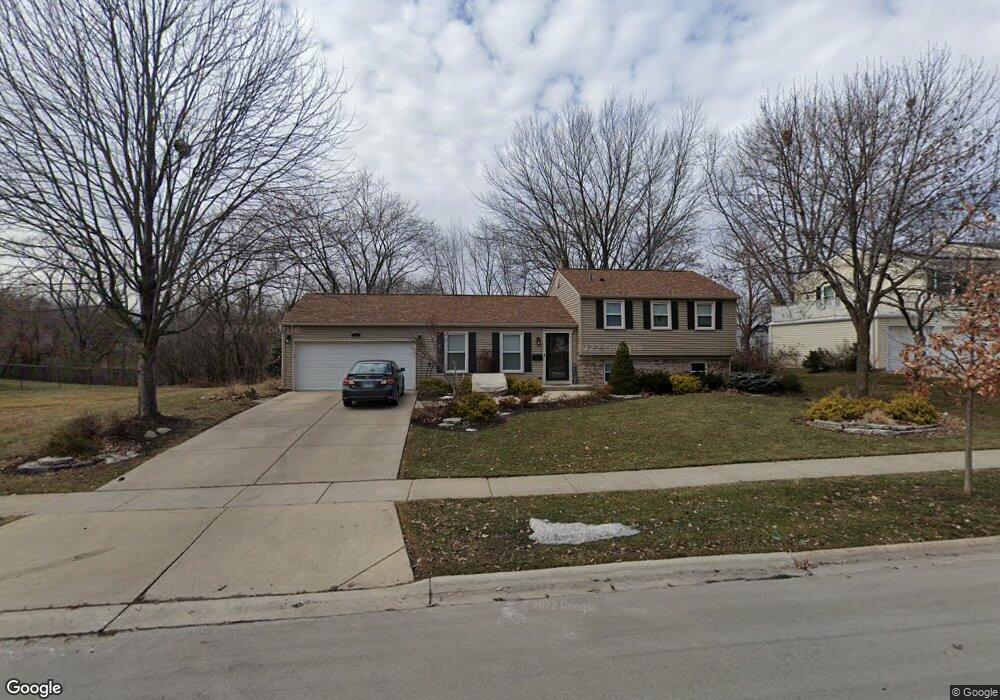
312 Wickham Dr Schaumburg, IL 60194
Hoover Park NeighborhoodEstimated Value: $389,000 - $419,612
3
Beds
2
Baths
1,126
Sq Ft
$356/Sq Ft
Est. Value
About This Home
This home is located at 312 Wickham Dr, Schaumburg, IL 60194 and is currently estimated at $401,403, approximately $356 per square foot. 312 Wickham Dr is a home located in Cook County with nearby schools including Hoover Math And Science Academy, Helen Keller Junior High School, and Schaumburg High School.
Ownership History
Date
Name
Owned For
Owner Type
Purchase Details
Closed on
Jul 31, 1996
Sold by
Bajowala Yusufali A and Bajowala Nafisa
Bought by
Wahlen Mark A and Wahlen Linda L
Current Estimated Value
Home Financials for this Owner
Home Financials are based on the most recent Mortgage that was taken out on this home.
Original Mortgage
$139,500
Outstanding Balance
$10,998
Interest Rate
8.18%
Estimated Equity
$390,405
Create a Home Valuation Report for This Property
The Home Valuation Report is an in-depth analysis detailing your home's value as well as a comparison with similar homes in the area
Home Values in the Area
Average Home Value in this Area
Purchase History
| Date | Buyer | Sale Price | Title Company |
|---|---|---|---|
| Wahlen Mark A | $155,000 | -- |
Source: Public Records
Mortgage History
| Date | Status | Borrower | Loan Amount |
|---|---|---|---|
| Open | Wahlen Mark A | $139,500 |
Source: Public Records
Tax History Compared to Growth
Tax History
| Year | Tax Paid | Tax Assessment Tax Assessment Total Assessment is a certain percentage of the fair market value that is determined by local assessors to be the total taxable value of land and additions on the property. | Land | Improvement |
|---|---|---|---|---|
| 2024 | $7,475 | $30,000 | $6,384 | $23,616 |
| 2023 | $7,220 | $30,000 | $6,384 | $23,616 |
| 2022 | $7,220 | $30,000 | $6,384 | $23,616 |
| 2021 | $6,501 | $24,780 | $4,332 | $20,448 |
| 2020 | $6,457 | $24,780 | $4,332 | $20,448 |
| 2019 | $6,544 | $27,843 | $4,332 | $23,511 |
| 2018 | $5,918 | $23,155 | $3,876 | $19,279 |
| 2017 | $5,843 | $23,155 | $3,876 | $19,279 |
| 2016 | $5,706 | $23,155 | $3,876 | $19,279 |
| 2015 | $5,721 | $21,746 | $3,420 | $18,326 |
| 2014 | $5,674 | $21,746 | $3,420 | $18,326 |
| 2013 | $5,511 | $21,746 | $3,420 | $18,326 |
Source: Public Records
Map
Nearby Homes
- 1314 Colwyn Dr
- 1123 Stoughton Ct Unit 1664
- 501 Argyll Ln
- 104 N Braintree Dr
- 1425 Colwyn Dr
- 100 Ellington Dr
- 225 Barcliffe Ln Unit 1011
- 640 Downey St
- 1125 Charlene Ln
- 1321 Yarmouth Ct Unit 662
- 700 N Hundley St
- 365 Washington Blvd
- 604 N Brookdale Dr
- 320 Pleasant St
- 645 Maywood Ln
- 20 Emerson Dr
- 775 Harmon Blvd
- 100 Westover Ln
- 1475 Crowfoot Cir S
- 585 Newark Ln
- 318 Wickham Dr
- 306 Wickham Dr Unit 610
- 322 Wickham Dr
- 315 Wickham Dr
- 311 Wickham Dr
- 321 Wickham Dr
- 307 Wickham Dr
- 234 Wickham Dr Unit 7
- 1209 Aimtree Place
- 301 Wickham Dr
- 325 Wickham Dr
- 335 N Braintree Dr
- 333 N Braintree Dr
- 232 Wickham Dr
- 337 N Braintree Dr
- 312 Wianno Ln
- 308 Wianno Ln
- 316 Wianno Ln
- 304 Wianno Ln
- 233 Wickham Dr