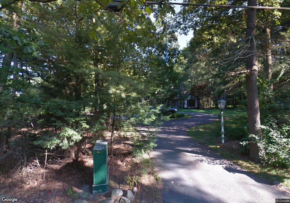
312 Willis Rd Sudbury, MA 01776
Estimated Value: $1,333,000 - $1,682,000
4
Beds
3
Baths
3,470
Sq Ft
$446/Sq Ft
Est. Value
About This Home
This home is located at 312 Willis Rd, Sudbury, MA 01776 and is currently estimated at $1,547,047, approximately $445 per square foot. 312 Willis Rd is a home located in Middlesex County with nearby schools including Josiah Haynes Elementary School, Ephraim Curtis Middle School, and Lincoln-Sudbury Regional High School.
Ownership History
Date
Name
Owned For
Owner Type
Purchase Details
Closed on
Aug 21, 2003
Sold by
Wattley Glenn G and Wattley Maureen L
Bought by
Noyes Michael and Noyes Donna M
Current Estimated Value
Home Financials for this Owner
Home Financials are based on the most recent Mortgage that was taken out on this home.
Original Mortgage
$689,990
Outstanding Balance
$301,630
Interest Rate
5.52%
Mortgage Type
Purchase Money Mortgage
Estimated Equity
$1,245,417
Purchase Details
Closed on
Aug 9, 1993
Sold by
Lobel Robert A
Bought by
Wattley Glenn G and Wattley Maureen L
Create a Home Valuation Report for This Property
The Home Valuation Report is an in-depth analysis detailing your home's value as well as a comparison with similar homes in the area
Home Values in the Area
Average Home Value in this Area
Purchase History
| Date | Buyer | Sale Price | Title Company |
|---|---|---|---|
| Noyes Michael | $899,990 | -- | |
| Noyes Michael | $899,990 | -- | |
| Wattley Glenn G | $475,000 | -- | |
| Wattley Glenn G | $475,000 | -- |
Source: Public Records
Mortgage History
| Date | Status | Borrower | Loan Amount |
|---|---|---|---|
| Open | Noyes Michael | $689,990 | |
| Closed | Wattley Glenn G | $689,990 | |
| Previous Owner | Wattley Glenn G | $350,000 | |
| Previous Owner | Wattley Glenn G | $325,000 |
Source: Public Records
Tax History Compared to Growth
Tax History
| Year | Tax Paid | Tax Assessment Tax Assessment Total Assessment is a certain percentage of the fair market value that is determined by local assessors to be the total taxable value of land and additions on the property. | Land | Improvement |
|---|---|---|---|---|
| 2025 | $21,506 | $1,469,000 | $461,300 | $1,007,700 |
| 2024 | $20,666 | $1,414,500 | $447,700 | $966,800 |
| 2023 | $19,277 | $1,222,400 | $414,500 | $807,900 |
| 2022 | $18,880 | $1,046,000 | $380,100 | $665,900 |
| 2021 | $18,273 | $970,400 | $380,100 | $590,300 |
| 2020 | $17,904 | $970,400 | $380,100 | $590,300 |
| 2019 | $17,380 | $970,400 | $380,100 | $590,300 |
| 2018 | $16,831 | $938,700 | $400,100 | $538,600 |
| 2017 | $16,475 | $928,700 | $395,300 | $533,400 |
| 2016 | $15,614 | $877,200 | $380,100 | $497,100 |
| 2015 | $15,002 | $852,400 | $365,300 | $487,100 |
| 2014 | $14,996 | $831,700 | $354,500 | $477,200 |
Source: Public Records
Map
Nearby Homes
- 5 Taintor Dr
- 57 Longfellow Rd
- 55 Widow Rites Ln
- 45 Widow Rites Ln
- 166 Parker St Unit 4
- 589 North Rd
- 54 Phillips Rd
- 10 Oak Ridge Dr Unit 5
- 250 Great Rd
- 67 Powder Mill Rd
- 5 Oak Ridge Dr Unit 7
- 63 Canterbury Dr
- 16 Blacksmith Dr
- 12 Camperdown Ln
- 42 Dakin Rd
- 11 Barnet Rd
- 5 Hayes St Unit 5
- 15 Arthur St Unit 15
- 47 Fairbank Rd
- 13 Arthur St Unit 15
- 306 Willis Rd
- 320 Willis Rd
- 309 Willis Rd
- 298 Willis Rd
- 105 Ruddock Rd
- 97 Ruddock Rd
- 115 Ruddock Rd
- 319 Willis Rd
- 319 Willis Rd Ford Rd
- 303 Willis Rd
- 121 Ruddock Rd
- 121 Ruddock Rd Unit 121
- 89 Ruddock Rd
- 325 Willis Rd
- 290 Willis Rd
- 297 Willis Rd
- 81 Ruddock Rd
- 30 Munnings Dr
- 188 Ford Rd
- 36 Munnings Dr