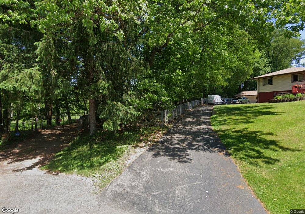
3121 Ethan Allen Rd Barberton, OH 44203
East Barberton NeighborhoodEstimated Value: $359,000 - $438,000
3
Beds
4
Baths
3,256
Sq Ft
$123/Sq Ft
Est. Value
About This Home
This home is located at 3121 Ethan Allen Rd, Barberton, OH 44203 and is currently estimated at $399,277, approximately $122 per square foot. 3121 Ethan Allen Rd is a home located in Summit County with nearby schools including Coventry Middle School, Coventry High School, and St. Francis de Sales School.
Ownership History
Date
Name
Owned For
Owner Type
Purchase Details
Closed on
Feb 28, 2011
Sold by
Smuts Charles B
Bought by
Carter Catrina and Catrina Carter Trust
Current Estimated Value
Purchase Details
Closed on
Apr 2, 2009
Sold by
Warner Luther N
Bought by
Smuts Charles B
Purchase Details
Closed on
Dec 24, 2005
Sold by
Smith Cecil Emmet
Bought by
Smuts Charles B and Cecil Emmet Smith Trust
Create a Home Valuation Report for This Property
The Home Valuation Report is an in-depth analysis detailing your home's value as well as a comparison with similar homes in the area
Home Values in the Area
Average Home Value in this Area
Purchase History
| Date | Buyer | Sale Price | Title Company |
|---|---|---|---|
| Carter Catrina | $180,000 | Village Title | |
| Smuts Charles B | -- | None Available | |
| Smuts Charles B | -- | Real Living Title | |
| Smith Cecil Emmet | -- | Real Living Title |
Source: Public Records
Tax History
| Year | Tax Paid | Tax Assessment Tax Assessment Total Assessment is a certain percentage of the fair market value that is determined by local assessors to be the total taxable value of land and additions on the property. | Land | Improvement |
|---|---|---|---|---|
| 2024 | $6,390 | $108,032 | $20,857 | $87,175 |
| 2023 | $6,390 | $108,032 | $20,857 | $87,175 |
| 2022 | $5,403 | $75,964 | $14,483 | $61,481 |
| 2021 | $5,098 | $75,964 | $14,483 | $61,481 |
| 2020 | $4,950 | $75,960 | $14,480 | $61,480 |
| 2019 | $4,339 | $61,170 | $16,460 | $44,710 |
| 2018 | $4,339 | $61,170 | $16,460 | $44,710 |
| 2017 | $4,403 | $61,170 | $16,460 | $44,710 |
| 2016 | $4,392 | $61,170 | $16,460 | $44,710 |
| 2015 | $4,403 | $61,170 | $16,460 | $44,710 |
| 2014 | $4,285 | $61,170 | $16,460 | $44,710 |
| 2013 | $4,249 | $61,530 | $16,460 | $45,070 |
Source: Public Records
Map
Nearby Homes
- 2967 Millbrook St
- 700 Shook Rd
- 2887 Unclmorse Ave
- 963 Winston St
- 2912 Clearfield Ave
- V/L 1.16 Acres E Tuscarawas Extension
- 3462 Dollar Dr
- 680 E State St
- 1144 Sutherland Ave
- 584 Apple Dr
- 850 Robinson Ave
- 3613 Manchester Rd
- 1203 Sarlson Ave
- 449 W Long Lake Blvd
- 2462 Edwin Ave
- 951 S Azalea Blvd
- 1288 Nestor Ave
- 1174 Kohler Ave
- 1277 Weiser Ave
- 1296 Weiser Ave
- 3127 Ethan Allen Rd
- 3133 Ethan Allen Rd
- 3060 Littledale Rd
- 3070 Littledale Rd
- 3048 Littledale Rd
- 3084 Littledale Rd
- 3036 Littledale Rd
- 3136 Ethan Allen Rd
- 3096 Littledale Rd
- 3030 Littledale Rd
- 3065 Littledale Rd
- 3055 Littledale Rd
- 3140 Ethan Allen Rd
- 3020 Littledale Rd
- 3075 Littledale Rd
- 3045 Littledale Rd
- 868 Rood Dr
- 855 Rood Dr
- 846 Garson Dr
- 3163 Ethan Allen Rd
Your Personal Tour Guide
Ask me questions while you tour the home.