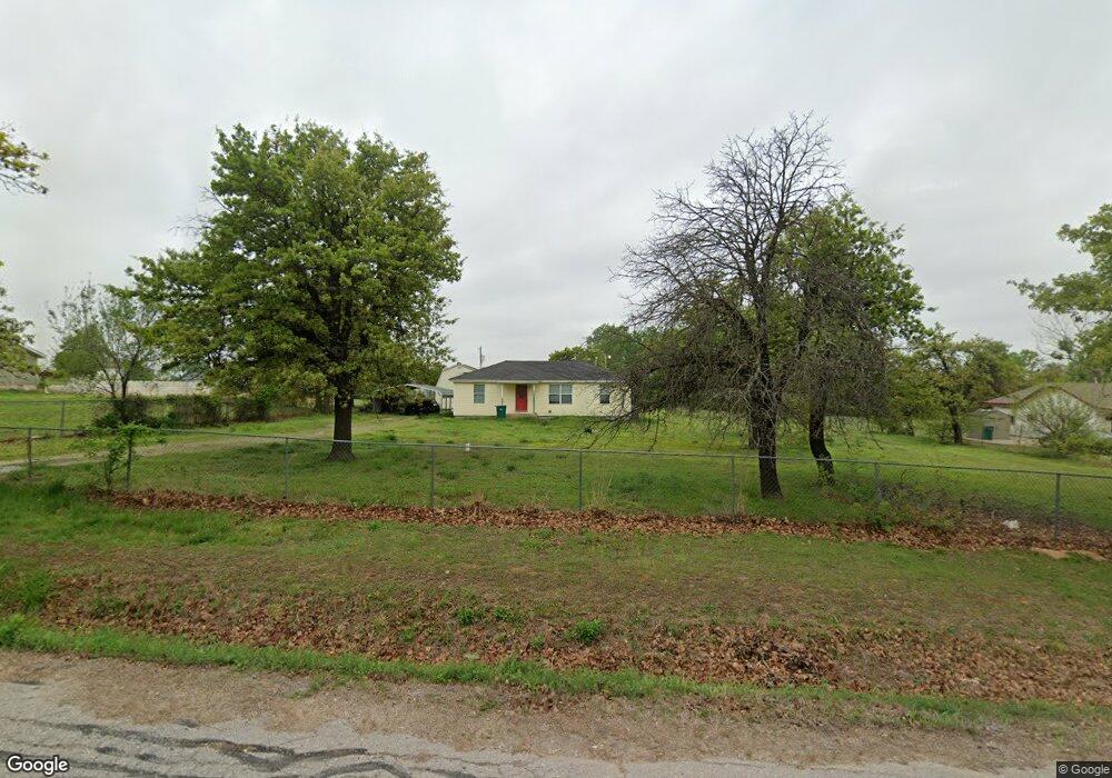
3121 Liberty Blvd Spencer, OK 73084
Estimated Value: $55,000 - $129,000
2
Beds
1
Bath
1,040
Sq Ft
$91/Sq Ft
Est. Value
About This Home
This home is located at 3121 Liberty Blvd, Spencer, OK 73084 and is currently estimated at $94,368, approximately $90 per square foot. 3121 Liberty Blvd is a home located in Oklahoma County with nearby schools including Willow Brook Elementary School and Star Spencer Mid-High School.
Ownership History
Date
Name
Owned For
Owner Type
Purchase Details
Closed on
Mar 12, 2024
Sold by
Harris Elizabeth Ann
Bought by
S & M Property Enterprise Llc
Current Estimated Value
Home Financials for this Owner
Home Financials are based on the most recent Mortgage that was taken out on this home.
Original Mortgage
$53,343
Outstanding Balance
$47,411
Interest Rate
6.64%
Mortgage Type
New Conventional
Estimated Equity
$46,957
Create a Home Valuation Report for This Property
The Home Valuation Report is an in-depth analysis detailing your home's value as well as a comparison with similar homes in the area
Home Values in the Area
Average Home Value in this Area
Purchase History
| Date | Buyer | Sale Price | Title Company |
|---|---|---|---|
| S & M Property Enterprise Llc | $65,000 | American Eagle Title Group |
Source: Public Records
Mortgage History
| Date | Status | Borrower | Loan Amount |
|---|---|---|---|
| Open | S & M Property Enterprise Llc | $53,343 |
Source: Public Records
Tax History Compared to Growth
Tax History
| Year | Tax Paid | Tax Assessment Tax Assessment Total Assessment is a certain percentage of the fair market value that is determined by local assessors to be the total taxable value of land and additions on the property. | Land | Improvement |
|---|---|---|---|---|
| 2024 | $563 | $5,474 | $404 | $5,070 |
| 2023 | $563 | $5,214 | $453 | $4,761 |
| 2022 | $507 | $4,966 | $425 | $4,541 |
| 2021 | $487 | $4,730 | $220 | $4,510 |
| 2020 | $480 | $4,620 | $220 | $4,400 |
| 2019 | $490 | $4,730 | $220 | $4,510 |
| 2018 | $485 | $4,950 | $0 | $0 |
| 2017 | $480 | $4,894 | $247 | $4,647 |
| 2016 | $488 | $4,949 | $247 | $4,702 |
| 2015 | $506 | $5,113 | $247 | $4,866 |
| 2014 | $507 | $5,156 | $247 | $4,909 |
Source: Public Records
Map
Nearby Homes
- 0 NE 34 St
- 2608 Outpost Dr
- 0 NE 36th St
- 11300 Stewart Ave
- 1816 Michell Dr
- 9904 Mark Trail
- 9513 NE 23rd St
- 2805 N Shadynook Way
- 1520 Patricia Dr
- 9512 NE 23rd St
- 1940 Ives Way
- 4401 Bosworth Ave
- 12512 NE 23rd St
- 10026 Caton Place
- 9909 Lloyd Dr
- 1820 Overholser Dr
- 1617 Mcgregor Dr
- 1912 N Saint Peter Ave
- 1521 McDonald Dr
- 15482 NE 11th St
- 3119 Liberty Blvd
- 3123 Liberty Blvd
- 3115 Liberty Blvd
- 3120 White Ave
- 3116 White Ave
- 2700 Liberty Blvd
- 3112 White Ave
- 3124 White Ave
- 10800 NE 32nd St
- 3111 Liberty Blvd
- 3108 White Ave
- 3104 White Ave
- 3121 White Ave
- 3119 White Ave
- 3115 White Ave
- 3107 Liberty Blvd
- 3113 White Ave
- 3102 White Ave
- 0000 Liberty Blvd
- 3107 White Ave