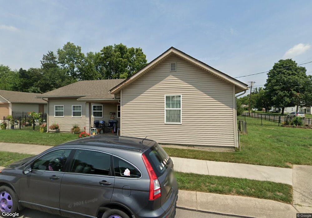
3121 Plymouth St Middletown, OH 45044
Mayfield NeighborhoodEstimated Value: $198,000 - $252,000
2
Beds
1
Bath
1,754
Sq Ft
$122/Sq Ft
Est. Value
About This Home
This home is located at 3121 Plymouth St, Middletown, OH 45044 and is currently estimated at $213,326, approximately $121 per square foot. 3121 Plymouth St is a home located in Butler County with nearby schools including Mayfield Elementary School, Highview 6th Grade Center, and Middletown Middle School.
Ownership History
Date
Name
Owned For
Owner Type
Purchase Details
Closed on
Aug 1, 2017
Sold by
Vitori Suzanne M
Bought by
Tuckosh Lawerence
Current Estimated Value
Home Financials for this Owner
Home Financials are based on the most recent Mortgage that was taken out on this home.
Original Mortgage
$115,000
Interest Rate
3.9%
Mortgage Type
New Conventional
Create a Home Valuation Report for This Property
The Home Valuation Report is an in-depth analysis detailing your home's value as well as a comparison with similar homes in the area
Home Values in the Area
Average Home Value in this Area
Purchase History
| Date | Buyer | Sale Price | Title Company |
|---|---|---|---|
| Tuckosh Lawerence | $80,000 | Title Exam Not Performed By |
Source: Public Records
Mortgage History
| Date | Status | Borrower | Loan Amount |
|---|---|---|---|
| Previous Owner | Tuckosh Lawerence | $115,000 |
Source: Public Records
Tax History Compared to Growth
Tax History
| Year | Tax Paid | Tax Assessment Tax Assessment Total Assessment is a certain percentage of the fair market value that is determined by local assessors to be the total taxable value of land and additions on the property. | Land | Improvement |
|---|---|---|---|---|
| 2024 | $2,529 | $48,640 | $4,200 | $44,440 |
| 2023 | $2,499 | $46,190 | $4,200 | $41,990 |
| 2022 | $1,836 | $31,560 | $4,200 | $27,360 |
| 2021 | $1,765 | $31,560 | $4,200 | $27,360 |
| 2020 | $1,839 | $31,560 | $4,200 | $27,360 |
| 2019 | $1,114 | $15,370 | $5,600 | $9,770 |
| 2018 | $971 | $15,370 | $5,600 | $9,770 |
| 2017 | $997 | $15,370 | $5,600 | $9,770 |
| 2016 | $858 | $12,670 | $5,600 | $7,070 |
| 2015 | $846 | $12,670 | $5,600 | $7,070 |
| 2014 | $988 | $17,840 | $5,600 | $12,240 |
| 2013 | $988 | $11,320 | $3,360 | $7,960 |
Source: Public Records
Map
Nearby Homes
- 2120 Fernwood St
- 1933 Sheffield St
- 2212 Fernwood St
- 2225 Sheffield St
- 2128 Lamberton St
- 1901 Brentwood St
- 1804 Fernwood St
- 1728 Fernwood St
- 2033 Jackson Ln
- 2010 Waynedale Ct
- 3218 Keays Ave
- 1808 Waynebrook Dr
- 1811 Waynebrook Dr
- 1605 Lamberton St
- 3002 Goldman Ave
- 1308 Orchard St
- 1919 Greenfield Dr
- 3220 Barbara Dr
- 3610 Roosevelt Blvd
- 3227 Barbara Dr
- 2024 Fernwood St
- 2033 Winton St
- 2020 Fernwood St
- 2104 Fernwood St
- 3104 Plymouth St
- 2025 Winton St
- 2108 Fernwood St
- 2016 Fernwood St
- 2021 Winton St
- 2105 Winton St
- 2101 Fernwood St
- 2025 Fernwood St
- 2105 Fernwood St
- 2112 Fernwood St
- 2109 Winton St
- 2021 Fernwood St
- 06 Plymouth St
- 2012 Fernwood St
- 2109 Fernwood St
- 2017 Fernwood St