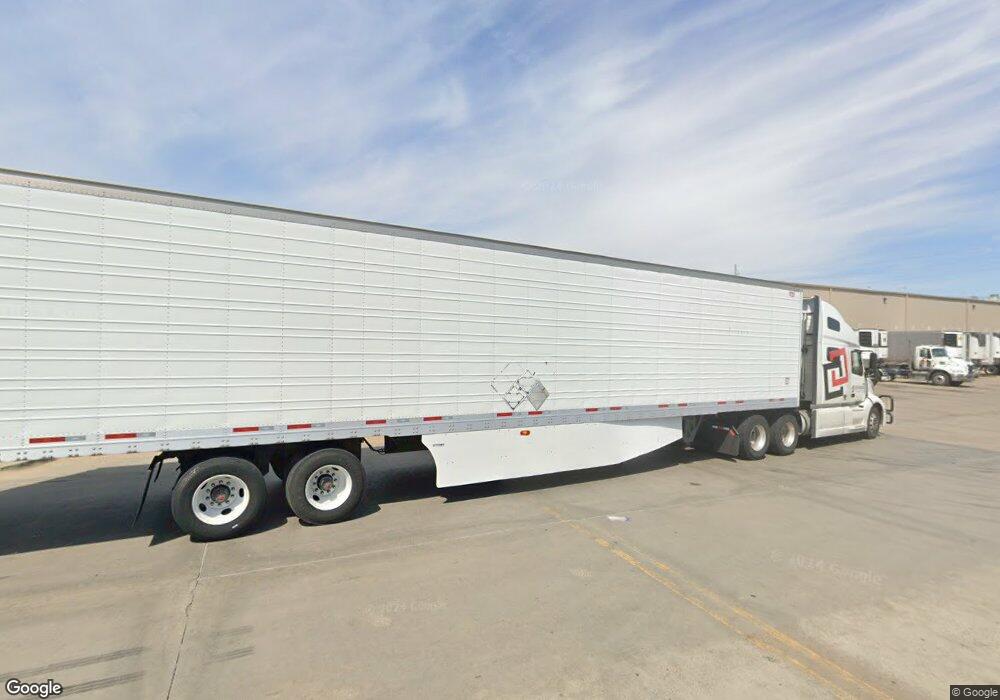
3121 SE 6th Ave Topeka, KS 66607
East Topeka Neighborhood
--
Bed
6
Baths
152,960
Sq Ft
7.4
Acres
About This Home
This home is located at 3121 SE 6th Ave, Topeka, KS 66607. 3121 SE 6th Ave is a home located in Shawnee County with nearby schools including Scott Dual Language Magnet Elementary School, North Bayou Rapides New Vision Academy, and Chase Middle School.
Ownership History
Date
Name
Owned For
Owner Type
Purchase Details
Closed on
Oct 7, 2010
Sold by
Kaw Valley Bank
Bought by
Resers Fine Foods Inc
Purchase Details
Closed on
Jul 11, 2007
Sold by
Kaw Valley Bank
Bought by
Copeland Sharon A and Copeland Mel
Home Financials for this Owner
Home Financials are based on the most recent Mortgage that was taken out on this home.
Original Mortgage
$550,000
Interest Rate
6.41%
Mortgage Type
Future Advance Clause Open End Mortgage
Create a Home Valuation Report for This Property
The Home Valuation Report is an in-depth analysis detailing your home's value as well as a comparison with similar homes in the area
Home Values in the Area
Average Home Value in this Area
Purchase History
| Date | Buyer | Sale Price | Title Company |
|---|---|---|---|
| Resers Fine Foods Inc | -- | Lawyers Title Of Topeka Inc | |
| Copeland Sharon A | -- | None Available |
Source: Public Records
Mortgage History
| Date | Status | Borrower | Loan Amount |
|---|---|---|---|
| Previous Owner | Copeland Sharon A | $550,000 |
Source: Public Records
Tax History Compared to Growth
Tax History
| Year | Tax Paid | Tax Assessment Tax Assessment Total Assessment is a certain percentage of the fair market value that is determined by local assessors to be the total taxable value of land and additions on the property. | Land | Improvement |
|---|---|---|---|---|
| 2025 | $483,363 | $3,115,001 | -- | -- |
| 2023 | $483,363 | $3,245,701 | $0 | $0 |
| 2022 | $501,876 | $3,245,701 | $0 | $0 |
| 2021 | $519,513 | $0 | $0 | $0 |
| 2020 | $513,882 | $3,245,701 | $0 | $0 |
| 2019 | $505,147 | $3,171,861 | $0 | $0 |
| 2018 | $460,777 | $2,890,151 | $0 | $0 |
| 2017 | $461,777 | $2,890,151 | $0 | $0 |
| 2014 | $466,245 | $2,890,151 | $0 | $0 |
Source: Public Records
Map
Nearby Homes
- 816 SE Wear Ave
- 505 SE Fairfax St
- 337 SE Norwood St
- 509 SE Lafayette St
- 514 SE Locust St
- 711 SE Lawrence St
- 430 NE Wabash Ave
- 1911 SE Iowa Ave
- 620 SE Lake St
- 216 SE Lake St
- 414 NE Grattan St
- 247 SE Croco Rd
- 2233 SE Swygart St
- 1906 SE Illinois Ave
- 509 NE Scotland Ave
- 206 SE Klein St
- 702 NE Winfield Ave
- 539 NE Scotland Ave
- 724 NE Wabash Ave
- 2405 SE Saturn Dr
- 638 SE Carnahan Ave
- 626 SE Carnahan Ave
- 652 SE Carnahan Ave
- 727 SE Deer Creek Trafficway
- 3101 SE 6th Ave
- 700 SE Carnahan Ave
- 637 SE Carnahan Ave
- 645 SE Carnahan Ave
- 611 SE Carnahan Ave
- 653 SE Carnahan Ave
- 704 SE Carnahan Ave
- 3035 SE 6th Ave
- 720 SE Carnahan Ave
- 3044 SE 6th Ave
- 3100 SE 6th Ave
- 3044 SE 6th St
- 531 SE Tefft St
- 702 SE Sherman Ave
- 719 SE Carnahan Ave
- 724 SE Carnahan Ave
