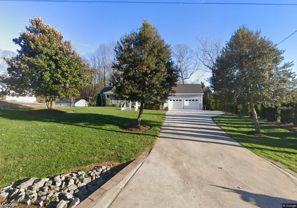
3121 Springlake Dr Buford, GA 30519
Estimated Value: $350,000 - $390,000
3
Beds
2
Baths
1,544
Sq Ft
$238/Sq Ft
Est. Value
About This Home
This home is located at 3121 Springlake Dr, Buford, GA 30519 and is currently estimated at $367,987, approximately $238 per square foot. 3121 Springlake Dr is a home located in Gwinnett County with nearby schools including Harmony Elementary School and Glenn C. Jones Middle School.
Ownership History
Date
Name
Owned For
Owner Type
Purchase Details
Closed on
Jul 15, 2005
Sold by
Hanstedt Wayne and Hanstedt Glenda
Bought by
L & W Consociates Llc
Current Estimated Value
Purchase Details
Closed on
Jun 15, 1994
Sold by
Loving Brian L
Bought by
Hanstedt Wayne
Home Financials for this Owner
Home Financials are based on the most recent Mortgage that was taken out on this home.
Original Mortgage
$119,700
Interest Rate
8.73%
Create a Home Valuation Report for This Property
The Home Valuation Report is an in-depth analysis detailing your home's value as well as a comparison with similar homes in the area
Home Values in the Area
Average Home Value in this Area
Purchase History
| Date | Buyer | Sale Price | Title Company |
|---|---|---|---|
| L & W Consociates Llc | $13,500 | -- | |
| Hanstedt Wayne | $126,000 | -- |
Source: Public Records
Mortgage History
| Date | Status | Borrower | Loan Amount |
|---|---|---|---|
| Previous Owner | Hanstedt Wayne | $119,700 |
Source: Public Records
Tax History
| Year | Tax Paid | Tax Assessment Tax Assessment Total Assessment is a certain percentage of the fair market value that is determined by local assessors to be the total taxable value of land and additions on the property. | Land | Improvement |
|---|---|---|---|---|
| 2025 | $986 | $121,280 | $24,440 | $96,840 |
| 2024 | $987 | $121,280 | $24,440 | $96,840 |
| 2023 | $987 | $121,280 | $24,440 | $96,840 |
| 2022 | $930 | $90,600 | $14,240 | $76,360 |
| 2021 | $923 | $90,600 | $14,240 | $76,360 |
| 2020 | $921 | $90,600 | $14,240 | $76,360 |
| 2019 | $869 | $58,680 | $10,120 | $48,560 |
| 2018 | $851 | $58,680 | $10,120 | $48,560 |
| 2016 | $789 | $58,680 | $10,120 | $48,560 |
| 2015 | $804 | $58,680 | $10,120 | $48,560 |
| 2014 | $1,964 | $54,840 | $8,120 | $46,720 |
Source: Public Records
Map
Nearby Homes
- 4001 Sovereign Dr
- 4184 Thompson Mill Rd
- 2997 Springlake Dr
- 2997 Spring Lake Dr
- 3970 Piper Glen Dr
- 3236 Copper Creek Ln NE
- 3385 Stoneleigh Run Dr
- 3713 Golden Ive Dr
- 3075 Andover Trail
- 3016 Sea Aster Way
- 4375 Easter Lily Ave
- 3372 Wild Clary (Lot 69) Ct
- 4176 Cami Way
- 3510 Rivers End Place
- 2802 Lakeview Ct
- 2838 N Bogan Rd
- 3721 Bogan Mill Rd
- 4165 Bradford Walk Trail
- 3680 Ridge Rd
- 3561 Bogan Mill Rd
- 3101 Springlake Dr
- 3131 Springlake Dr
- 3111 Springlake Dr
- 3126 Springlake Dr
- 3116 Spring Lake Dr
- 3111 Spring Lake Dr
- 3116 Springlake Dr
- 4015 Hidden Oak Ln
- 4050 Thompson Mill Rd
- 3106 Springlake Dr
- 4010 Thompson Mill Rd
- 3096 Springlake Dr
- 4099 Amicalola Way
- 4060 Thompson Mill Rd
- 4023 Thompson Mill Rd
- 4005 Hidden Oak Ln
- 4096 Amicalola Way
- 4086 Amicalola Way
- 4000 Thompson Mill Rd
- 4010 Hidden Oak Ln
Your Personal Tour Guide
Ask me questions while you tour the home.