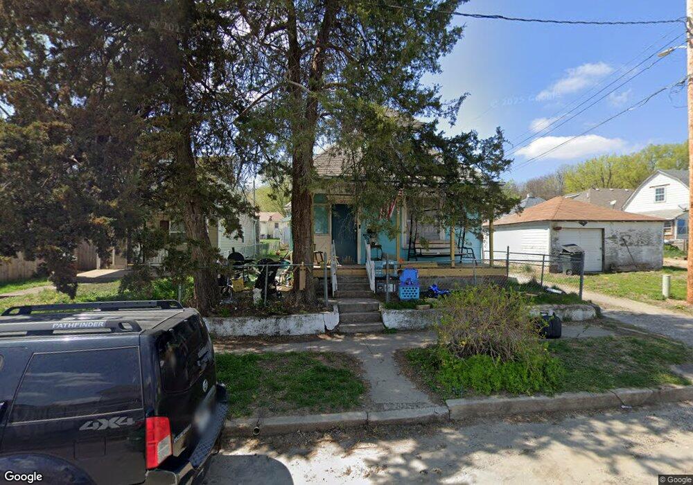
3122 N 11th St Saint Joseph, MO 64505
Northside NeighborhoodEstimated Value: $92,927 - $146,000
--
Bed
--
Bath
1,351
Sq Ft
$87/Sq Ft
Est. Value
About This Home
This home is located at 3122 N 11th St, Saint Joseph, MO 64505 and is currently estimated at $117,982, approximately $87 per square foot. 3122 N 11th St is a home located in Buchanan County with nearby schools including Lindbergh Elementary School, Robidoux Middle School, and Lafayette High School.
Ownership History
Date
Name
Owned For
Owner Type
Purchase Details
Closed on
Mar 25, 2024
Sold by
Landry Faith
Bought by
Rauch Jasmine and Rauch David
Current Estimated Value
Purchase Details
Closed on
Aug 10, 2020
Sold by
Perry Joann
Bought by
Landry Faith
Home Financials for this Owner
Home Financials are based on the most recent Mortgage that was taken out on this home.
Original Mortgage
$10,000
Interest Rate
3%
Mortgage Type
Future Advance Clause Open End Mortgage
Purchase Details
Closed on
Sep 4, 2015
Sold by
Perry Trust
Bought by
Perry Danny and Perry Joann
Create a Home Valuation Report for This Property
The Home Valuation Report is an in-depth analysis detailing your home's value as well as a comparison with similar homes in the area
Home Values in the Area
Average Home Value in this Area
Purchase History
| Date | Buyer | Sale Price | Title Company |
|---|---|---|---|
| Rauch Jasmine | -- | None Listed On Document | |
| Landry Faith | -- | None Available | |
| Perry Danny | -- | -- |
Source: Public Records
Mortgage History
| Date | Status | Borrower | Loan Amount |
|---|---|---|---|
| Previous Owner | Landry Faith | $10,000 |
Source: Public Records
Tax History Compared to Growth
Tax History
| Year | Tax Paid | Tax Assessment Tax Assessment Total Assessment is a certain percentage of the fair market value that is determined by local assessors to be the total taxable value of land and additions on the property. | Land | Improvement |
|---|---|---|---|---|
| 2024 | $451 | $6,320 | $640 | $5,680 |
| 2023 | $451 | $6,320 | $640 | $5,680 |
| 2022 | $416 | $6,320 | $640 | $5,680 |
| 2021 | $418 | $6,320 | $640 | $5,680 |
| 2020 | $415 | $6,320 | $640 | $5,680 |
| 2019 | $401 | $6,320 | $640 | $5,680 |
| 2018 | $362 | $6,320 | $640 | $5,680 |
| 2017 | $358 | $6,320 | $0 | $0 |
| 2015 | $0 | $6,320 | $0 | $0 |
| 2014 | $393 | $6,320 | $0 | $0 |
Source: Public Records
Map
Nearby Homes
- 3101 Saint Joseph Ave
- 3004 Burnside Ave
- 1024 Roosevelt Ave
- 1016 Roosevelt Ave
- 1021 Roosevelt Ave
- 1020 7th Ave
- 1205 6th Ave
- 619 Hamburg St
- 905 5th Ave
- 1502 6th Ave
- 3504 N 5th Street Terrace
- 622 Hamburg Ave
- 2401 N 12th St
- 319 Green St
- 701 McDonald St
- 3901 Saint Joseph Ave
- 1805 6th Ave
- 1814 Manchester Rd
- 2516 N 4th St
- 3309 Westwood Dr
- 3120 N 11th St
- 3118 N 11th St
- 3116 N 11th St
- 1018 Green St
- 1024 Green St
- 1016 Green St
- 3114 N 11th St
- 1012 Green St
- 3123 N 10th St
- 3121 N 10th St
- 3115 N 10th St
- 1006 Green St
- 3124 Saint Joseph Ave
- 3120 Saint Joseph Ave
- 3112 N 11th St
- 1102 Green St
- 3111 N 10th St
- 1002 Green St
- 3112 Saint Joseph Ave
- 3108 N 11th St