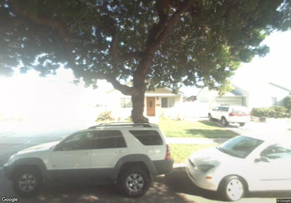
3125 W 170th St Torrance, CA 90504
North Torrance NeighborhoodEstimated Value: $1,084,389 - $1,474,000
4
Beds
1
Bath
1,892
Sq Ft
$677/Sq Ft
Est. Value
About This Home
This home is located at 3125 W 170th St, Torrance, CA 90504 and is currently estimated at $1,280,847, approximately $676 per square foot. 3125 W 170th St is a home located in Los Angeles County with nearby schools including Evelyn Carr Elementary School, Philip Magruder Middle School, and North High School.
Ownership History
Date
Name
Owned For
Owner Type
Purchase Details
Closed on
Nov 16, 2018
Sold by
Chon Won and Chon Helen
Bought by
Chon Helen and Chon Won
Current Estimated Value
Purchase Details
Closed on
Apr 23, 2004
Sold by
Chon Won and Chon Helen Hyun Mi
Bought by
Chon Won
Home Financials for this Owner
Home Financials are based on the most recent Mortgage that was taken out on this home.
Original Mortgage
$180,000
Interest Rate
5.35%
Mortgage Type
New Conventional
Create a Home Valuation Report for This Property
The Home Valuation Report is an in-depth analysis detailing your home's value as well as a comparison with similar homes in the area
Home Values in the Area
Average Home Value in this Area
Purchase History
| Date | Buyer | Sale Price | Title Company |
|---|---|---|---|
| Chon Helen | -- | None Available | |
| Chon Won | -- | None Available | |
| Chon Won | -- | First American Title Ins Co |
Source: Public Records
Mortgage History
| Date | Status | Borrower | Loan Amount |
|---|---|---|---|
| Closed | Chon Won | $180,000 |
Source: Public Records
Tax History Compared to Growth
Tax History
| Year | Tax Paid | Tax Assessment Tax Assessment Total Assessment is a certain percentage of the fair market value that is determined by local assessors to be the total taxable value of land and additions on the property. | Land | Improvement |
|---|---|---|---|---|
| 2025 | $6,095 | $521,169 | $394,073 | $127,096 |
| 2024 | $6,095 | $510,951 | $386,347 | $124,604 |
| 2023 | $5,985 | $500,933 | $378,772 | $122,161 |
| 2022 | $5,905 | $491,112 | $371,346 | $119,766 |
| 2021 | $5,792 | $481,483 | $364,065 | $117,418 |
| 2019 | $5,626 | $467,204 | $353,267 | $113,937 |
| 2018 | $5,378 | $458,044 | $346,341 | $111,703 |
| 2016 | $5,128 | $440,259 | $332,893 | $107,366 |
| 2015 | $5,017 | $433,647 | $327,893 | $105,754 |
| 2014 | $4,890 | $425,154 | $321,471 | $103,683 |
Source: Public Records
Map
Nearby Homes
- 16725 Elgar Ave
- 2818 W 166th St
- 17033 Glenburn Ave
- 17234 Ardath Ave
- 17302 Ermanita Ave
- 17511 Delia Ave
- 16621 Cerise Ave
- 2527 Artesia Blvd Unit 67
- 3482 W 171st St Unit 19
- 2605 W 163rd St
- 16028 Arcturus Ave
- 2406 W 177th St
- 17508 Van Ness Ave
- 2501 W Redondo Beach Blvd Unit 311
- 2501 W Redondo Beach Blvd Unit 317
- 2501 W Redondo Beach Blvd Unit 306
- 17405 Kornblum Ave
- 18028 Falda Ave
- 2044 166th St
- 2612 Manhattan Beach Blvd
- 3119 W 170th St
- 3131 W 170th St
- 3151 W 170th St
- 16822 Delia Ave
- 3157 W 170th St
- 17002 Delia Ave
- 16901 Crenshaw Blvd Unit 7
- 16901 Crenshaw Blvd Unit 5
- 16901 Crenshaw Blvd Unit 3
- 16901 Crenshaw Blvd Unit 1
- 16901 Crenshaw Blvd
- 16818 Delia Ave
- 16833 Crenshaw Blvd
- 17003 Crenshaw Blvd
- 17008 Delia Ave
- 17003 Delia Ave
- 16821 Delia Ave
- 16825 Crenshaw Blvd
- 16814 Delia Ave
- 17009 Crenshaw Blvd