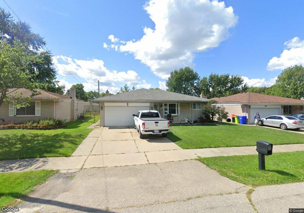
31273 Richert Fraser, MI 48026
Estimated Value: $257,000 - $286,000
3
Beds
2
Baths
1,467
Sq Ft
$185/Sq Ft
Est. Value
About This Home
This home is located at 31273 Richert, Fraser, MI 48026 and is currently estimated at $271,219, approximately $184 per square foot. 31273 Richert is a home located in Macomb County with nearby schools including Mark Twain Elementary School, Richards Middle School, and Fraser High School.
Ownership History
Date
Name
Owned For
Owner Type
Purchase Details
Closed on
Nov 18, 2003
Sold by
Wang Jimin and Ma Ying
Bought by
Fibranz Robert and Fibranz Kathleen
Current Estimated Value
Purchase Details
Closed on
May 31, 2000
Sold by
Leader Investment Co
Bought by
Wang Jimin
Home Financials for this Owner
Home Financials are based on the most recent Mortgage that was taken out on this home.
Original Mortgage
$129,200
Interest Rate
8.31%
Mortgage Type
Purchase Money Mortgage
Purchase Details
Closed on
Feb 29, 2000
Sold by
Syrowik Anita
Bought by
Leader Investment Co
Create a Home Valuation Report for This Property
The Home Valuation Report is an in-depth analysis detailing your home's value as well as a comparison with similar homes in the area
Home Values in the Area
Average Home Value in this Area
Purchase History
| Date | Buyer | Sale Price | Title Company |
|---|---|---|---|
| Fibranz Robert | $180,000 | Lawyers Title Ins | |
| Wang Jimin | $152,000 | -- | |
| Leader Investment Co | $123,000 | -- |
Source: Public Records
Mortgage History
| Date | Status | Borrower | Loan Amount |
|---|---|---|---|
| Previous Owner | Wang Jimin | $129,200 |
Source: Public Records
Tax History Compared to Growth
Tax History
| Year | Tax Paid | Tax Assessment Tax Assessment Total Assessment is a certain percentage of the fair market value that is determined by local assessors to be the total taxable value of land and additions on the property. | Land | Improvement |
|---|---|---|---|---|
| 2025 | $3,305 | $125,800 | $0 | $0 |
| 2024 | $3,151 | $117,500 | $0 | $0 |
| 2023 | $3,026 | $106,100 | $0 | $0 |
| 2022 | $2,975 | $91,900 | $0 | $0 |
| 2021 | $2,943 | $88,200 | $0 | $0 |
| 2020 | $2,838 | $82,600 | $0 | $0 |
| 2019 | $2,691 | $74,800 | $0 | $0 |
| 2018 | $3,282 | $69,000 | $0 | $0 |
| 2017 | $2,818 | $67,817 | $9,708 | $58,109 |
| 2016 | $2,691 | $67,788 | $0 | $0 |
| 2015 | -- | $62,693 | $0 | $0 |
| 2013 | $2,286 | $52,790 | $0 | $0 |
| 2011 | -- | $56,704 | $11,354 | $45,350 |
Source: Public Records
Map
Nearby Homes
- 31070 Hayes Rd
- 31263 Hayes Rd
- 31417 Tecla Dr
- 30607 Glenwood Cir
- 14627 Masonic Blvd
- 30988 Moroso Dr
- 16320 Masonic Blvd
- 30324 Glenwood Cir
- 15797 Common Rd
- 31555 Fraser Dr Unit 19
- 31611 Fraser Dr Unit 6
- 31077 Shawn Dr
- 14455 Fina Dr
- 31700 Linden
- 14108 La Chene Ave
- 32138 Bradner Dr
- 29448 El Dorado Plaza
- 15102 Raphael Terrace Unit K67
- 13863 Colpaert Dr
- 13842 Jenny Dr