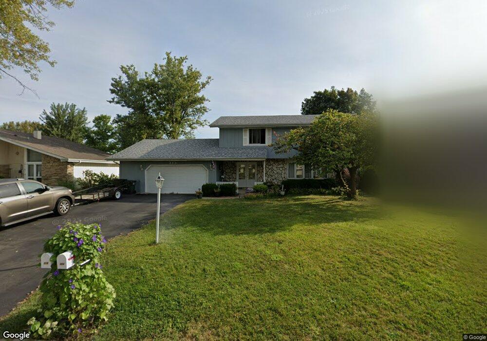
313 High Point Dr Unit 27 Lindenhurst, IL 60046
Estimated Value: $385,000 - $450,000
About This Home
This home is located at 313 High Point Dr Unit 27, Lindenhurst, IL 60046 and is currently estimated at $415,802, approximately $203 per square foot. 313 High Point Dr Unit 27 is a home located in Lake County with nearby schools including Lakes Community High School.
Ownership History
We collect this data history from publicly available records. To have your information removed, we recommend requesting removal directly through your county’s website.
Purchase Details
Home Financials for this Owner
Home Financials are based on the most recent Mortgage that was taken out on this home.Home Values in the Area
Average Home Value in this Area
Purchase History
We collect this data history from publicly available records. To have your information removed, we recommend requesting removal directly through your county’s website.
| Date | Buyer | Sale Price | Title Company |
|---|---|---|---|
| $200,000 | -- |
Mortgage History
We collect this data history from publicly available records. To have your information removed, we recommend requesting removal directly through your county’s website.
| Date | Status | Borrower | Loan Amount |
|---|---|---|---|
| Closed | $145,000 |
Tax History
We collect this data history from publicly available records. To have your information removed, we recommend requesting removal directly through your county’s website.
| Year | Tax Paid | Tax Assessment Tax Assessment Total Assessment is a certain percentage of the fair market value that is determined by local assessors to be the total taxable value of land and additions on the property. | Land | Improvement |
|---|---|---|---|---|
| 2025 | $10,362 | $121,403 | $26,619 | $94,784 |
| 2024 | $10,362 | $113,175 | $24,815 | $88,360 |
| 2023 | $10,362 | $99,995 | $21,925 | $78,070 |
| 2022 | $10,362 | $96,745 | $24,269 | $72,476 |
| 2021 | $9,862 | $89,870 | $22,544 | $67,326 |
| 2020 | $9,644 | $86,991 | $21,822 | $65,169 |
| 2019 | $9,884 | $83,605 | $20,973 | $62,632 |
| 2018 | $9,191 | $80,889 | $23,452 | $57,437 |
| 2017 | $8,947 | $78,732 | $22,827 | $55,905 |
| 2016 | $9,136 | $75,544 | $21,903 | $53,641 |
| 2015 | $8,738 | $70,556 | $20,457 | $50,099 |
| 2014 | $8,966 | $67,022 | $19,208 | $47,814 |
| 2012 | $8,336 | $78,406 | $21,138 | $57,268 |
Map
- 412 Surrey Ln
- 2313 Carriage Ln
- 1920 Hazelwood Dr
- 516 N Beck Rd
- 2004 Sprucewood Ln
- 2120 Meadow Dr
- 2401 Mallard Dr
- 533 N Beck Rd Unit 28
- 534 Whispering Pines Rd Unit 2
- 102 Hawthorne Dr
- 1913 Burr Oak Ln
- 1707 Cherrywood Ln
- 1055 E Grand Ave
- 405 Woodland Trail
- 420 Woodland Trail
- 1907 E Grand Ave
- 428 Woodland Trail
- 434 Woodland Trail
- 433 Woodland Trail
- 2508 Highland Dr
- 315 High Point Dr
- 311 High Point Dr
- 317 High Point Dr
- 309 High Point Dr
- 304 High Point Dr
- 319 High Point Dr
- 306 High Point Dr
- 302 High Point Dr
- 308 High Point Dr Unit 27
- 381 Northgate Rd
- 321 High Point Dr
- 310 High Point Dr
- 305 High Point Dr
- 383 Northgate Rd
- 323 High Point Dr
- 389 Northgate Rd
- 393 Northgate Rd
- 312 High Point Dr
- 385 Northgate Rd
- 395 Northgate Rd
Ask me questions while you tour the home.